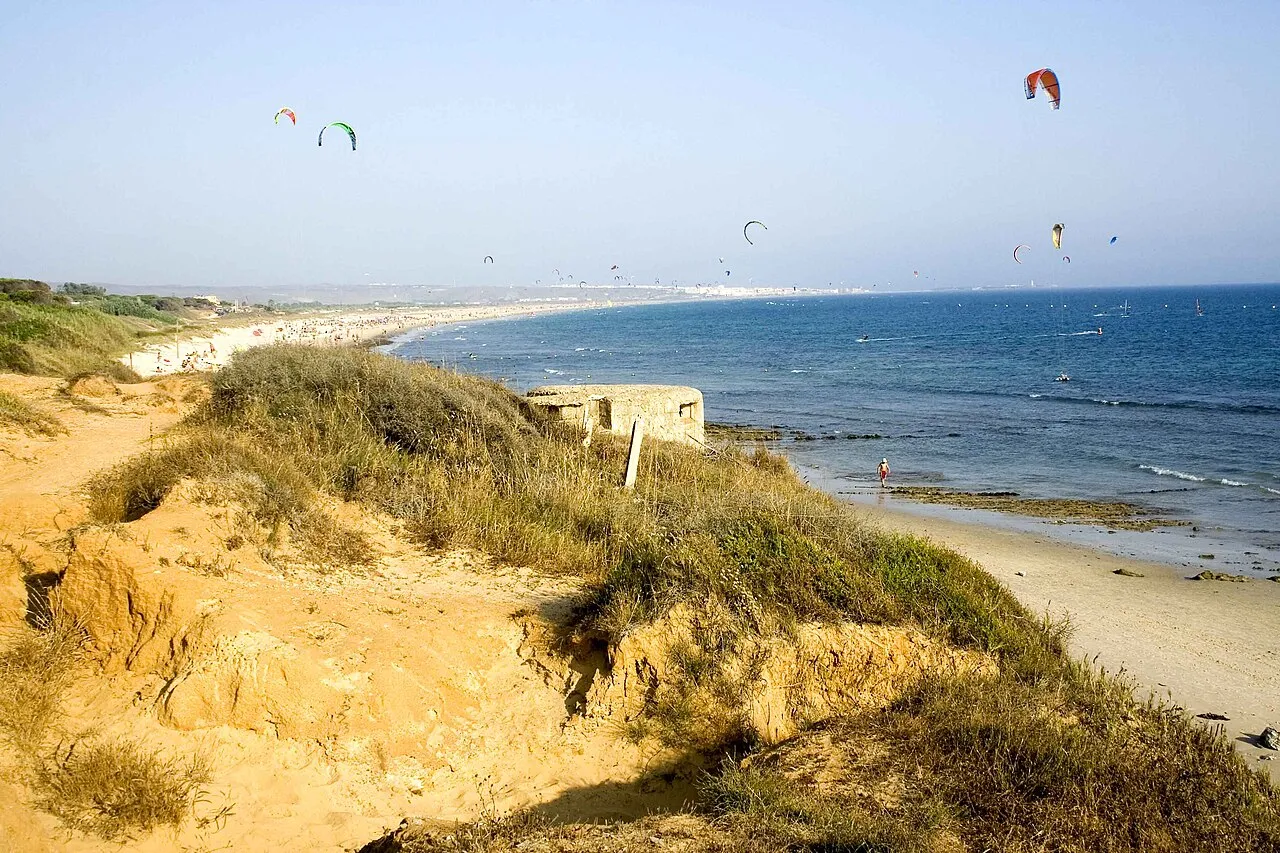
Playa de los Lances
Located in Tarifa, Cadiz Coordinates: 36°02′24″ N 5°38′04″ W
- Local time
- UTC+01:00
- Europe/Madrid · UTC+01:00
About Playa de los Lances
Playa de los Lances is a beach. Location: Tarifa, Cadiz.
The playa de Los Lances (English: Beach of Los Lances) is a beach that forms one side of the town of Tarifa, in the region of Campo de Gibraltar in Andalusia, Spain. The beach is 7,250 metres (23,790 ft) long from Punta de la Peña to Punta de Tarifa, with an average width of 120 metres (390 ft). It is usually differentiated into two zones: North Los Lances, an undeveloped beach away from main population center, and South Los Lances, very close to the town of Tarifa and with extensive human occupation.
Read more on Wikipedia Text: Wikipedia contributors · CC BY-SA 4.0 · shortened
In comparison
- 21 sights and natural places within 10 km Río de la Jara, Río de la Vega
Climate of Playa de los Lances
Best months for sightseeing: May–October.
| Month | Jan | Feb | Mar | Apr | May | Jun | Jul | Aug | Sep | Oct | Nov | Dec |
|---|---|---|---|---|---|---|---|---|---|---|---|---|
| Average high (°C) | 14° | 15° | 17° | 19° | 21° | 25° | 28° | 28° | 26° | 22° | 18° | 16° |
| Average low (°C) | 8° | 8° | 9° | 11° | 13° | 16° | 18° | 19° | 18° | 15° | 12° | 9° |
| Precipitation (mm) | 136 | 129 | 121 | 68 | 35 | 11 | 0 | 3 | 19 | 75 | 134 | 145 |
Monthly averages for 1970–2000 at about 18 km resolution, adjusted for elevation. Highlighted months are mild and relatively dry. Source: WorldClim 2.1 (CC BY 4.0).
Airports nearest to Playa de los Lances
- Gibraltar Airport (GIB) Gibraltar 28 km
- Tangier Ibn Battuta Airport (TNG) Tangier 43 km
- Sania Ramel Airport (TTU) Tétouan 57 km
Straight-line distance; airports with scheduled flights only. Source: OurAirports (public domain).
Nearest towns and villages
-
Tarifa Town, Tarifa3.8 km SE
-
Valdevaqueros Village, Tarifa4.7 km NW
-
El Cuartón Village, Tarifa9.4 km E
-
Puertollano Village, Tarifa8.7 km N
-
Cañada de la Jara Village, Tarifa8.7 km N
-
El Bujeo Village, Tarifa11 km E
Nearby attractions & nature
Everything nearby-
Río de la Jara River, Tarifa0.3 km NE
-
Río de la Vega River, Tarifa1.6 km SE
-
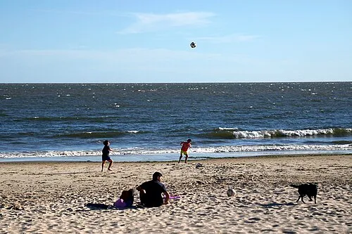 Playa Santa Catalina Beach, Cadiz3.9 km SE
-
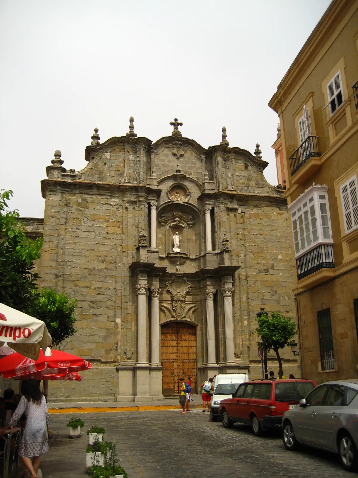 Iglesia de San Mateo Attraction, Tarifa4.2 km SE
-
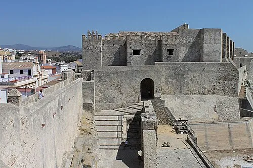 Castle of Tarifa Historic site, Tarifa4.3 km SE
-
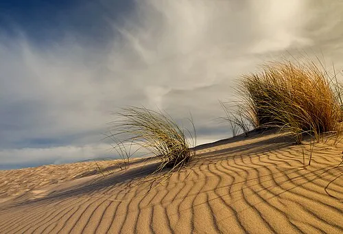 Playa Valdevaqueros Beach, Tarifa6.1 km NW
-
Island of the Doves Island, Andalusia4.2 km S
-
Residencia de Díaz Museum, Tarifa3.6 km SE
More lakes, rivers and coasts in Spain
-
Playa Paloma Baja Beach, Tarifa8.5 km W
-
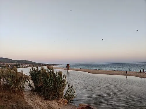 Playa Bolonia Beach, Tarifa14 km NW
-
Arroyo de los Molinos River, Tarifa4 km N
-
Río Guadalmesí River, Tarifa10 km E
-
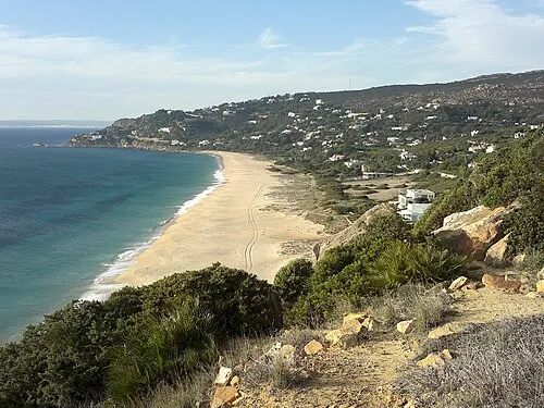 Playa de los Alemanes Beach, Tarifa17 km W
-
Río del Valle River, Tarifa5.8 km NW
Sources & licences
Data last updated: · 2 independent sources