Tarifa
Located in Cadiz, Andalusia Coordinates: 36°04′55″ N 5°39′58″ W
- Population
- 17,962
- 18K
- Elevation
- 383 m
- above sea level
- Local time
- UTC+01:00
- Europe/Madrid · UTC+01:00
- Places inside
- 50
- listed under Tarifa
About Tarifa
Tarifa is a municipality. Location: Cadiz, Andalusia. Population: 17,962. Elevation: 383 m.
Tarifa (Spanish pronunciation: [taˈɾifa]) is a Spanish municipality in the province of Cádiz, Andalusia. Located at the southernmost tip of the Iberian Peninsula, it is famous as one of the world's most popular destinations for windsports. Tarifa lies on the Costa de la Luz ('coast of light') and across the Strait of Gibraltar facing Morocco. Besides the city proper, the municipality also comprises several villages, including Tahivilla, Facinas, and Bolonia.
Read more on Wikipedia Text: Wikipedia contributors · CC BY-SA 4.0 · shortened
At a glance
- Area
- 420 km²
Source: Wikidata
In comparison
- No. 17 of 44 places in Cadiz by population
- Nearest larger town: Tarifa, 9 km SE
- 24 sights and natural places within 10 km Río del Valle, Playa Valdevaqueros
- Listed here: River: 14, Village: 9, Beach: 7, Landmark: 4
Places in Tarifa
50 places-
Los Barrios Town23.5K
-
Tarifa Town18.2K
-
Facinas Village1.3K
-
El Bujeo Village212
-
El Cuartón Village164
-
Arroyo de Benaras River
-
Arroyo del Aciscar River
-
Arroyo del Bugones River
-
Arroyo del Gallego River
-
Arroyo de Loaji River
-
Arroyo de los Molinos River
-
Arroyo de los Toriles River
-
Arroyo del Tiradero River
-
Arroyo de Valdeinfierno River
-
Bolonia Village
-
Cañada de la Jara Village
-
Castillo de Santa Catalina Historic site
-
Castle of Tarifa Historic site
-
Conjunto Arqueologico Baelo Claudia Historic site
-
Duna de Bolonia Natural site
-
EL Chaparral Village
-
Ensenada de Bolonia Natural site
-
Ensenada de Valdevaqueros Natural site
-
Gitano Mountain
-
Iglesia de San Mateo Attraction
-
Iglesia San Francisco De Asis Attraction
-
Pantano del Águila Village
-
Playa Bolonia Beach
-
Playa de Atlanterra Beach
-
Playa del Cañuelo Beach
-
Playa de los Alemanes Beach
-
Playa de los Lances Beach
-
Playa Paloma Baja Beach
-
Playa Valdevaqueros Beach
-
Plaza de Toros Attraction
-
Puerta de Jerez Landmark
-
Puertollano Village
-
Residencia de Díaz Museum
-
Río Almodóvar River
-
Río de la Jara River
-
Río de la Vega River
-
Río del Valle River
-
Río Guadalmesí River
-
Sancho IV Monument Landmark
-
Sierra del Cabrito Mountain
-
Sierra de San Bartolomé Mountain
-
Tarifa DGPS-Transmitter Landmark
-
Tarifa Light Landmark
-
Valdevaqueros Village
Nearby attractions & nature
Everything nearby-
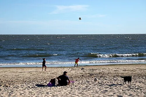 Playa Santa Catalina Beach, Cadiz9.3 km SE
-
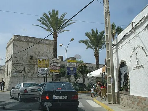 Castle of Zahara de los Atunes and Palace of Jadraza Historic site, Barbate17 km W
-
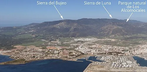 Sierra del Bujeo Mountain, Algeciras14 km E
-
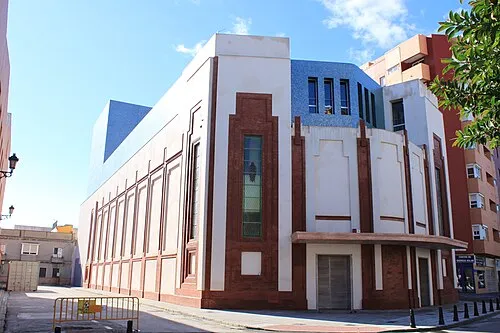 Teatro Florida Attraction, Algeciras20 km E
-
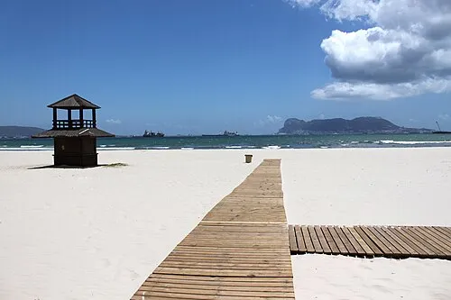 Playa Rinconcillo Beach, Cadiz22 km E
-
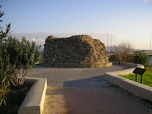 Torre del Almirante Landmark, Barrios, Los21 km E
-
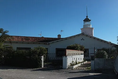 Isla Verde Lighthouse Landmark, Algeciras21 km E
-
Island of the Doves Island, Andalusia9.6 km SE
Sources & licences
Data last updated: · 2 independent sources