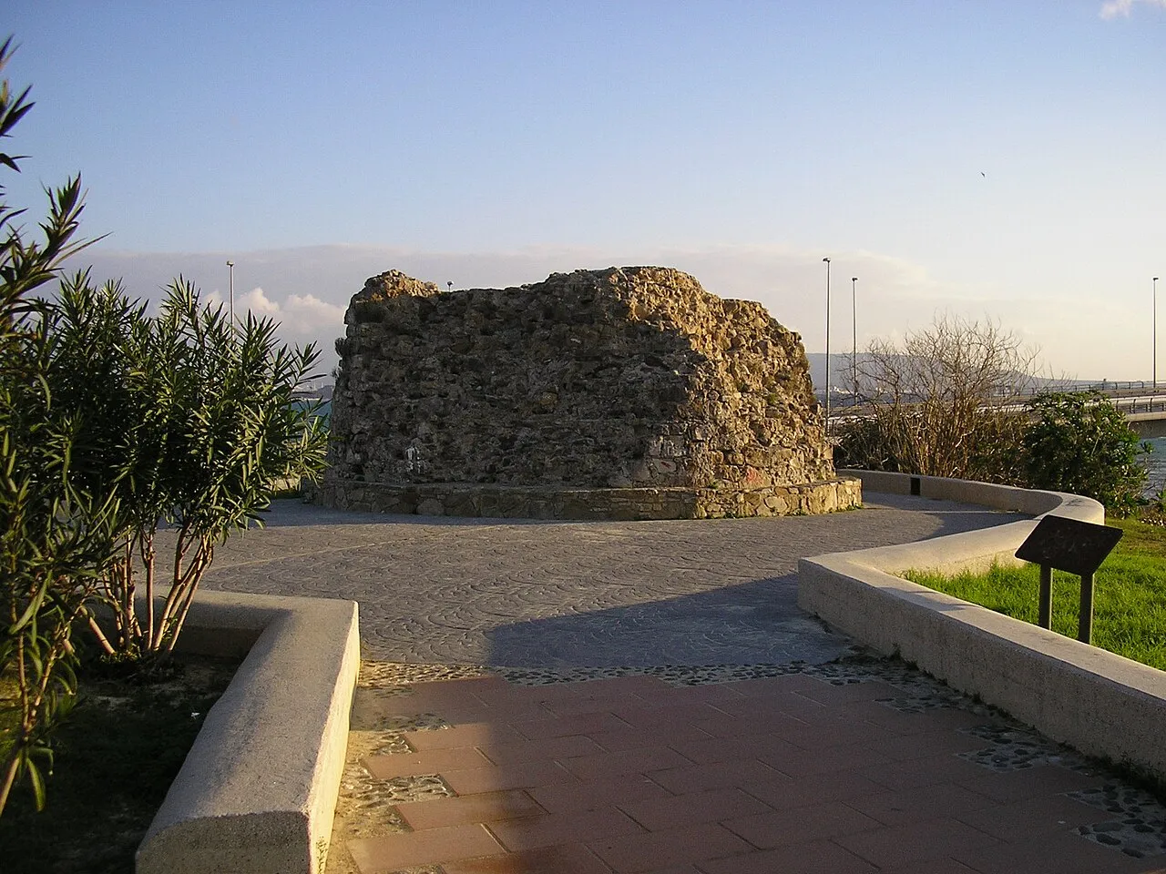
- Local time
- UTC+01:00
- Europe/Madrid · UTC+01:00
- Elevation
- 43 m
- above sea level
- Airports
- GIB Gibraltar Airport9 km
- TTU Sania Ramel Airport63 km
About Torre del Almirante
Torre del Almirante is a landmark. Location: Barrios, Los, Cadiz.
Torre del Almirante (English: Tower of the Admiral) is a tower located in Algeciras, Spain. It was declared Bien de Interés Cultural in 1985. The "Torre del Almirante" is a large tower with a circular base of 6 m in diameter and a solid foundation. It was constructed from masonry held together with lime mortar, which has endowed it with exceptional strength.
Source: Wikipedia · CC BY-SA 4.0
At a glance
- Heritage designation
- bien de interés cultural
Source: Wikidata
Photos of Torre del Almirante
-

Falconaumanni · CC BY-SA 3.0 -

No machine-readable author provided. Falconaumanni assumed · CC BY-SA 3.0 -
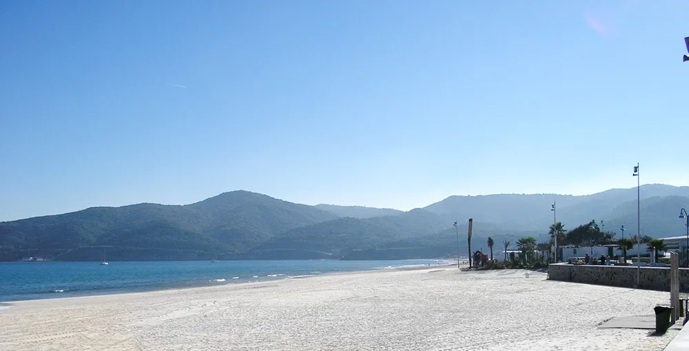
Playa de Getares No machine-readable author provided. Falconaumanni assumed · CC BY-SA 3.0 -
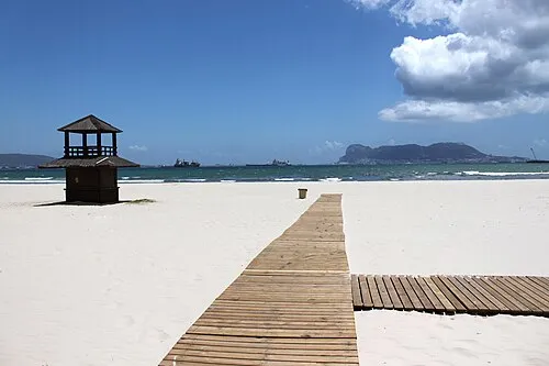
Playa Rinconcillo user:falconaumanni · CC BY 3.0 -
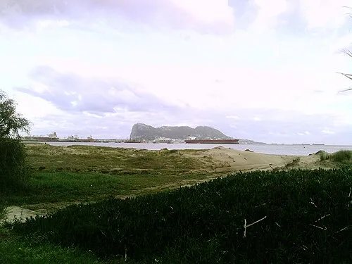
Playa Guadarranque Ambil · Public domain


Climate of Torre del Almirante
Best months for sightseeingBest months for sightseeing: May–July, September–October.
This month · November
A wet month
Day 19° · Night 13° · Rain 121 mm
Better nearby cities in November
- Málaga · 111 km northeast20°
- Dos Hermanas · 133 km north20°
- Seville · 145 km north20°
- Hottest month
- August (day 29°)
- Coldest month
- January (night 9°)
- Wettest month
- December (146 mm)
- Driest month
- July (1 mm)
Bars: average monthly low and high temperature. Below: precipitation. Monthly averages for 1970–2000 at about 18 km resolution, adjusted for elevation. Highlighted months are mild and relatively dry. Source: WorldClim 2.1 (CC BY 4.0).
Show values as a table
| Month | Jan | Feb | Mar | Apr | May | Jun | Jul | Aug | Sep | Oct | Nov | Dec |
|---|---|---|---|---|---|---|---|---|---|---|---|---|
| Average high (°C) | 16° | 16° | 18° | 20° | 22° | 25° | 28° | 29° | 26° | 23° | 19° | 17° |
| Average low (°C) | 9° | 10° | 11° | 12° | 14° | 17° | 19° | 20° | 19° | 16° | 13° | 11° |
| Precipitation (mm) | 125 | 103 | 95 | 67 | 32 | 10 | 1 | 4 | 17 | 71 | 121 | 146 |
Other places to visit in this season: May June July September October
How to get to Torre del Almirante
The nearest airport is Gibraltar Airport (GIB), 9 km to the east as the crow flies. The nearest large city is Algeciras, 2 km to the south.
Airports
- Gibraltar Airport (GIB) Gibraltar 9 kmeast
- Sania Ramel Airport (TTU) Tétouan 63 kmsouth
- Tangier Ibn Battuta Airport (TNG) Tangier 63 kmsouthwest
Nearby large cities
- Algeciras Population: 121.4K 2 kmsouth
- Tétouan Population: 415.8K 64 kmsouth
- Marbella Population: 156.3K 64 kmnortheast
- Jerez de la Frontera Population: 212.9K 86 kmnorthwest
- Cadiz Population: 117K 87 kmnorthwest
Straight-line distances; road distances are longer. Airport data: OurAirports.
Day trips from Torre del Almirante
Within 100 km: 306 historic and cultural sites, 204 natural sites, 330 lakes, rivers and coasts.
0–25 km121 places
- Playa de Poniente Beach 10 kmE
- Playa de Levante Beach 11 kmNE
- La Alcaidesa Beach 15 kmNE
- Playa de La Hacienda Beach 8 kmE
25–60 km277 places
- Playa de Zahora Beach 54 kmW
- Jebel Zem Zem Mountain 53 kmS
- Kasbah Mosque Attraction 52 kmSW
- Grand Mosque of Tangier Attraction 52 kmSW
60–100 km442 places
- Stade Saniat Rmel Landmark 65 kmS
- Jebel Kelti Mountain 89 kmS
- Playa de la Victoria Beach 85 kmNW
- Playa de Levante Beach 83 kmNW
Straight-line distances.
Nearby attractions & nature
Everything nearby-
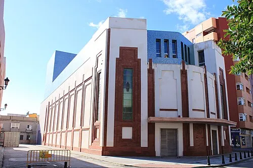 Teatro Florida Attraction, Algeciras2.5 km S
-
Playa Rinconcillo Beach, Cadiz0.6 km N
-
Plaza de toros de Las Palomas Attraction, Algeciras1.8 km SW
-
Café Teatro Attraction, Algeciras2 km S
-
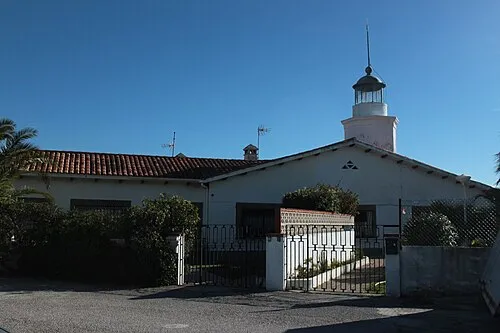 Isla Verde Lighthouse Landmark, Algeciras3.2 km S
-
Nuestra Señora de la Palma Attraction, Algeciras2.1 km S
-
Iglesia de San Isidro Attraction, Algeciras2.2 km S
-
Estadio Nuevo Mirador Landmark, Algeciras2.4 km NW
Nearest towns and villages
-
Algeciras City, Algeciras1.9 km S
-
 Palmones Village, Barrios, Los3 km N
-
 Algeciras Municipality, Cadiz5 km S
-
 Guadacorte Village, Barrios, Los4.9 km N
Sources & licences
Data last updated: · 2 independent sources