- Local time
- UTC+01:00
- Europe/Madrid · UTC+01:00
- Elevation
- 23 m
- above sea level
- Airports
- GIB Gibraltar Airport13 km
- TNG Tangier Ibn Battuta Airport64 km
About Estadio San Rafael
Estadio San Rafael is a landmark. Location: Barrios, Los, Cadiz. The best months to visit are May–June, September–October. The nearest airport is Gibraltar Airport (13 km). Nearby sights include Casa de la Cultura and Casa de los Gómez Pecino o de los Urrutia.
Photos of Estadio San Rafael
-
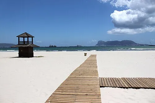
Playa Rinconcillo user:falconaumanni · CC BY 3.0 -
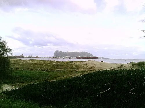
Playa Guadarranque Ambil · Public domain -
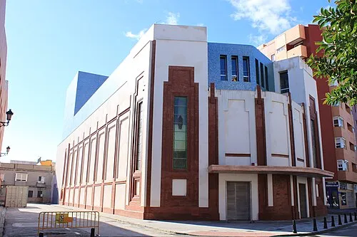
Teatro Florida user:falconaumanni · CC BY 3.0 -
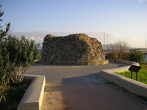
Torre del Almirante User:Falconaumanni · CC BY-SA 4.0


Climate of Estadio San Rafael
Best months for sightseeingBest months for sightseeing: May–June, September–October.
This month · November
A wet month
Day 19° · Night 13° · Rain 117 mm
Better nearby cities in November
- Málaga · 112 km northeast20°
- Dos Hermanas · 128 km north20°
- Seville · 140 km north20°
- Hottest month
- August (day 29°)
- Coldest month
- January (night 9°)
- Wettest month
- December (141 mm)
- Driest month
- July (1 mm)
Bars: average monthly low and high temperature. Below: precipitation. Monthly averages for 1970–2000 at about 18 km resolution, adjusted for elevation. Highlighted months are mild and relatively dry. Source: WorldClim 2.1 (CC BY 4.0).
Show values as a table
| Month | Jan | Feb | Mar | Apr | May | Jun | Jul | Aug | Sep | Oct | Nov | Dec |
|---|---|---|---|---|---|---|---|---|---|---|---|---|
| Average high (°C) | 16° | 17° | 19° | 20° | 22° | 26° | 29° | 29° | 27° | 23° | 19° | 17° |
| Average low (°C) | 9° | 10° | 11° | 12° | 14° | 17° | 19° | 20° | 19° | 16° | 13° | 11° |
| Precipitation (mm) | 118 | 92 | 84 | 64 | 32 | 11 | 1 | 4 | 18 | 71 | 117 | 141 |
Other places to visit in this season: May June September October
How to get to Estadio San Rafael
The nearest airport is Gibraltar Airport (GIB), 13 km to the east as the crow flies. The nearest large city is Algeciras, 7 km to the southeast.
Airports
- Gibraltar Airport (GIB) Gibraltar 13 kmeast
- Tangier Ibn Battuta Airport (TNG) Tangier 64 kmsouthwest
- Sania Ramel Airport (TTU) Tétouan 67 kmsouth
Nearby large cities
- Algeciras Population: 121.4K 7 kmsoutheast
- Marbella Population: 156.3K 65 kmnortheast
- Tétouan Population: 415.8K 68 kmsouth
- Jerez de la Frontera Population: 212.9K 80 kmnorthwest
- Cadiz Population: 117K 81 kmnorthwest
Straight-line distances; road distances are longer. Airport data: OurAirports.
Day trips from Estadio San Rafael
Within 100 km: 313 historic and cultural sites, 209 natural sites, 335 lakes, rivers and coasts.
0–25 km130 places
- Playa de Poniente Beach 14 kmE
- Playa de Levante Beach 14 kmE
- La Alcaidesa Beach 16 kmE
- Playa de La Hacienda Beach 12 kmE
25–60 km286 places
- Playa de Zahora Beach 50 kmW
- Jebel Zem Zem Mountain 56 kmS
- Kasbah Mosque Attraction 53 kmSW
- Grand Mosque of Tangier Attraction 53 kmSW
60–100 km441 places
- Stade Saniat Rmel Landmark 69 kmS
- Jebel Kelti Mountain 94 kmS
- Playa de la Victoria Beach 79 kmNW
- Playa de Levante Beach 78 kmNW
Straight-line distances.
Nearby attractions & nature
Everything nearby-
Casa de la Cultura Museum, Barrios, Los0.5 km W
-
Casa de los Gómez Pecino o de los Urrutia Historic site, Barrios, Los0.5 km W
-
Edificio Pósito Museum, Barrios, Los0.5 km W
-
Parroquia San Isidro Attraction, Barrios, Los0.5 km W
-
Plaza de Toros Attraction, Barrios, Los0.8 km S
-
Parque Botánico Betty Molesworth Natural site, Barrios, Los0.7 km S
-
Cerro Marcelo Mountain, Barrios, Los1.8 km E
-
Arroyo de Benaras River, Tarifa1.2 km W
Nearest towns and villages
-
Los Barrios Town, Tarifa0.5 km W
-
Villa de los Barrios Village, Barrios, Los0.4 km SE
-
 Palmones Village, Barrios, Los4.6 km E
-
 Guadacorte Village, Barrios, Los5.1 km E
More sights in Barrios, Los
-
Torre del Almirante Landmark, Barrios, Los5.5 km SE
-
Parroquia de la Pura y Limpia Concepción Attraction, Barrios, Los4.5 km E
-
Cartera Historic site, Barrios, Los5.1 km E
Sources & licences
Data last updated: