- Elevation
- 154 m
- above sea level
- Local time
- UTC+01:00
- Europe/Madrid · UTC+01:00
- Airports
- ODB Córdoba Airport33 km
- SVQ Seville Airport71 km
About Fuente Carreteros
Fuente Carreteros is a village. Location: Fuente Palmera, Cordoba. Elevation: 154 m. The best months to visit are March–May, October. The nearest airport is Córdoba Airport (33 km). Nearby sights include Arroyo de las Culebras and Real Monasterio de Santa Inés del Valle.
Climate of Fuente Carreteros
Best months for sightseeingBest months for sightseeing: March–May, October.
This month · November
Outside the best season
Day 19° · Night 8° · Rain 82 mm
Better nearby cities in November
- Seville · 79 km southwest20°
- Dos Hermanas · 80 km southwest20°
- Málaga · 124 km southeast20°
- Hottest month
- July (day 35°)
- Coldest month
- January (night 4°)
- Wettest month
- December (91 mm)
- Driest month
- July (3 mm)
Bars: average monthly low and high temperature. Below: precipitation. Monthly averages for 1970–2000 at about 18 km resolution, adjusted for elevation. Highlighted months are mild and relatively dry. Source: WorldClim 2.1 (CC BY 4.0).
Show values as a table
| Month | Jan | Feb | Mar | Apr | May | Jun | Jul | Aug | Sep | Oct | Nov | Dec |
|---|---|---|---|---|---|---|---|---|---|---|---|---|
| Average high (°C) | 15° | 17° | 20° | 22° | 25° | 30° | 35° | 34° | 31° | 24° | 19° | 15° |
| Average low (°C) | 4° | 5° | 7° | 9° | 12° | 15° | 18° | 18° | 16° | 12° | 8° | 5° |
| Precipitation (mm) | 74 | 52 | 41 | 56 | 36 | 17 | 3 | 3 | 22 | 61 | 82 | 91 |
Other places to visit in this season: March April May October
How to get to Fuente Carreteros
The nearest airport is Córdoba Airport (ODB), 33 km to the northeast as the crow flies. For international flights: Seville Airport (SVQ) (71 km). The nearest large city is Córdoba, 42 km to the northeast.
Airports
- Córdoba Airport (ODB) Córdoba 33 kmnortheast
- Seville Airport (SVQ) Seville 71 kmsouthwest
- Málaga-Costa del Sol Airport (AGP) Málaga 124 kmsoutheast
Nearby large cities
- Córdoba Population: 325.7K 42 kmnortheast
- Seville Population: 686.7K 79 kmsouthwest
- Dos Hermanas Population: 122.9K 80 kmsouthwest
- Jaén Population: 113.5K 121 kmeast
- Málaga Population: 592.3K 124 kmsoutheast
Straight-line distances; road distances are longer. Airport data: OurAirports.
Day trips from Fuente Carreteros
Within 100 km: 342 historic and cultural sites, 167 natural sites, 421 lakes, rivers and coasts.
0–25 km70 places
- Pantano de la Brena Lake 20 kmNE
- Sierra Traviesa Mountain 17 kmNW
- Arroyo de la Torvisca River 21 kmNE
- Arroyo de la Torre River 25 kmE
25–60 km297 places
- Loma del Vellón Mountain 31 kmN
- Cerro del Trigo Mountain 31 kmNE
- Rodal del Gato Mountain 27 kmN
- Cerro de los Robles Mountain 57 kmN
60–100 km563 places
- La Isleta Island 94 kmSW
- Isla de la Cartuja Island 80 kmW
- Laguna de Bartolomé Lake 97 kmSW
- Embalse de San Pedro Lake 72 kmN
Straight-line distances.
Nearby attractions & nature
Everything nearby-
Arroyo de las Culebras River, Hornachuelos4.7 km E
-
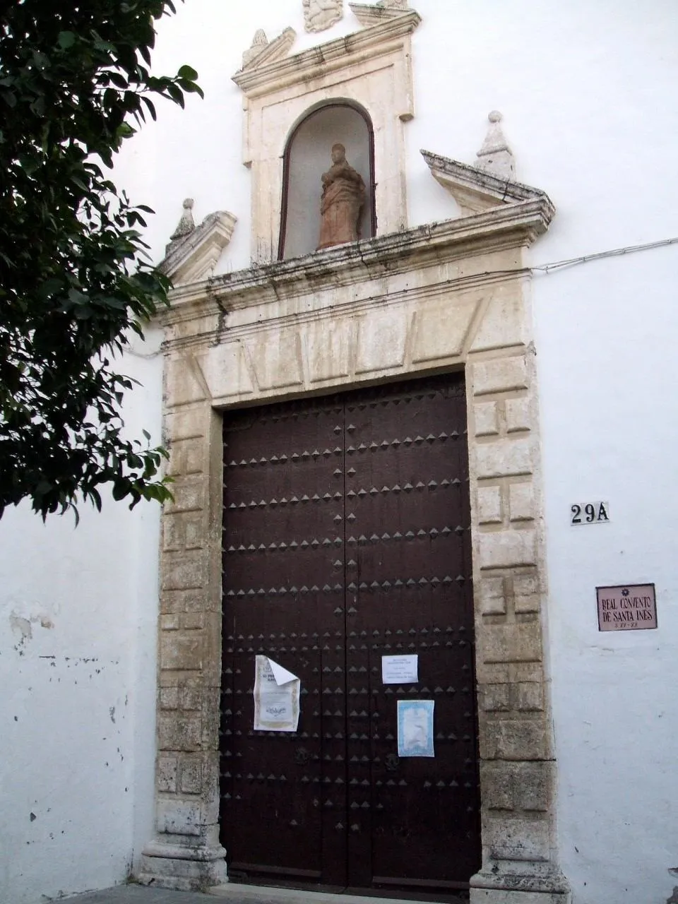 Real Monasterio de Santa Inés del Valle Attraction, Écija15 km SE
-
Simón Egea Museum, Palma del Río11 km W
-
Arroyo de Mahoma River, Hornachuelos10 km NW
-
Patronato Municipal de Cultura Attraction, Palma del Río11 km W
-
Paseo de Alfonso XIII Attraction, Palma del Río11 km W
Sources & licences
Data last updated: