- Elevation
- 220 m
- above sea level
- Local time
- UTC+01:00
- Europe/Madrid · UTC+01:00
- Airports
- ODB Córdoba Airport28 km
- SVQ Seville Airport85 km
About Los Algarbes
Los Algarbes is a village. Location: Rambla, La, Cordoba. Elevation: 220 m. The best months to visit are March–May, October–November. The nearest airport is Córdoba Airport (28 km). Nearby sights include Real Monasterio de Santa Inés del Valle and Arroyo del Madroño.
Climate of Los Algarbes
Best months for sightseeingBest months for sightseeing: March–May, October–November.
This month · November
A good month to visit
Day 19° · Night 7° · Rain 82 mm
- Hottest month
- July (day 35°)
- Coldest month
- January (night 4°)
- Wettest month
- December (95 mm)
- Driest month
- July (3 mm)
Bars: average monthly low and high temperature. Below: precipitation. Monthly averages for 1970–2000 at about 18 km resolution, adjusted for elevation. Highlighted months are mild and relatively dry. Source: WorldClim 2.1 (CC BY 4.0).
Show values as a table
| Month | Jan | Feb | Mar | Apr | May | Jun | Jul | Aug | Sep | Oct | Nov | Dec |
|---|---|---|---|---|---|---|---|---|---|---|---|---|
| Average high (°C) | 15° | 17° | 20° | 21° | 25° | 31° | 35° | 35° | 31° | 24° | 19° | 15° |
| Average low (°C) | 4° | 5° | 6° | 8° | 11° | 15° | 18° | 18° | 16° | 12° | 7° | 5° |
| Precipitation (mm) | 79 | 53 | 43 | 56 | 36 | 17 | 3 | 4 | 23 | 62 | 82 | 95 |
Other places to visit in this season: March April May October November
How to get to Los Algarbes
The nearest airport is Córdoba Airport (ODB), 28 km to the north as the crow flies. For international flights: Seville Airport (SVQ) (85 km). The nearest large city is Córdoba, 36 km to the northeast.
Airports
- Córdoba Airport (ODB) Córdoba 28 kmnorth
- Seville Airport (SVQ) Seville 85 kmwest
- Málaga-Costa del Sol Airport (AGP) Málaga 111 kmsouth
Nearby large cities
- Córdoba Population: 325.7K 36 kmnortheast
- Dos Hermanas Population: 122.9K 92 kmsouthwest
- Seville Population: 686.7K 92 kmwest
- Jaén Population: 113.5K 105 kmeast
- Málaga Population: 592.3K 110 kmsoutheast
Straight-line distances; road distances are longer. Airport data: OurAirports.
Day trips from Los Algarbes
Within 100 km: 380 historic and cultural sites, 179 natural sites, 423 lakes, rivers and coasts.
0–25 km52 places
- Loma de Fuentidueña Mountain 22 kmS
- La Campiña Natural site 18 kmNE
- Arroyo de la Torvisca River 17 kmN
- Arroyo de la Torre River 12 kmNE
25–60 km319 places
- Laguna Salada Lake 59 kmS
- Pantano del Guadamellato Lake 57 kmNE
- Pantano de la Brena Lake 26 kmN
- Loma del Vellón Mountain 42 kmNW
60–100 km611 places
- Isla de la Cartuja Island 94 kmW
- Embalse de San Pedro Lake 83 kmNW
- Pantano del Pintado Lake 97 kmNW
- Pantano del Chorro Lake 74 kmS
Straight-line distances.
Nearby attractions & nature
Everything nearby-
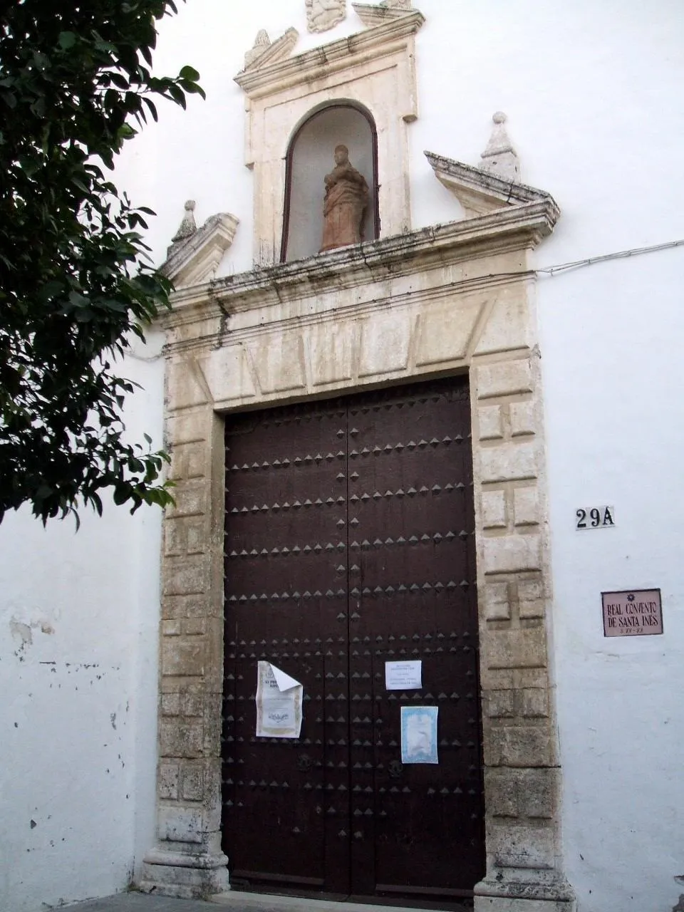 Real Monasterio de Santa Inés del Valle Attraction, Écija12 km SW
-
Arroyo del Madroño River, Cordoba9.4 km NE
-
Arroyo de Guadalmazán River, Fuente Palmera11 km N
-
Arroyo del Garabato River, Cordoba11 km N
-
Arroyo del Lantiscoso River, Cordoba12 km N
-
Iglesia de San Gil Attraction, Écija12 km SW
Sources & licences
Data last updated: