- Elevation
- 300 m
- above sea level
- Local time
- UTC+01:00
- Europe/Madrid · UTC+01:00
- Airports
- GIB Gibraltar Airport47 km
- AGP Málaga-Costa del Sol Airport67 km
About Río Monardilla
Río Monardilla is a river. Location: Jubrique, Malaga. The best months to visit are May–June, October. The nearest airport is Gibraltar Airport (47 km). Nearby sights include Cerro de la Rosa and Río Almarchal.
Climate of Río Monardilla
Best months for sightseeingBest months for sightseeing: May–June, October.
This month · November
A wet month
Day 18° · Night 11° · Rain 114 mm
Better nearby cities in November
- Málaga · 74 km east20°
- Dos Hermanas · 101 km northwest20°
- Seville · 113 km northwest20°
- Hottest month
- July (day 31°)
- Coldest month
- January (night 7°)
- Wettest month
- December (125 mm)
- Driest month
- July (1 mm)
Bars: average monthly low and high temperature. Below: precipitation. Monthly averages for 1970–2000 at about 18 km resolution, adjusted for elevation. Highlighted months are mild and relatively dry. Source: WorldClim 2.1 (CC BY 4.0).
Show values as a table
| Month | Jan | Feb | Mar | Apr | May | Jun | Jul | Aug | Sep | Oct | Nov | Dec |
|---|---|---|---|---|---|---|---|---|---|---|---|---|
| Average high (°C) | 15° | 15° | 18° | 20° | 23° | 27° | 31° | 31° | 28° | 22° | 18° | 15° |
| Average low (°C) | 7° | 7° | 8° | 10° | 13° | 16° | 19° | 19° | 17° | 14° | 11° | 8° |
| Precipitation (mm) | 115 | 102 | 91 | 59 | 39 | 13 | 1 | 3 | 20 | 73 | 114 | 125 |
How to get to Río Monardilla
The nearest airport is Gibraltar Airport (GIB), 47 km to the south as the crow flies. The nearest large city is Marbella, 31 km to the east.
Airports
- Gibraltar Airport (GIB) Gibraltar 47 kmsouth
- Málaga-Costa del Sol Airport (AGP) Málaga 67 kmeast
- Jerez Airport (XRY) Jerez de la Frontera 77 kmwest
Nearby large cities
- Marbella Population: 156.3K 31 kmeast
- Algeciras Population: 121.4K 51 kmsouthwest
- Málaga Population: 592.3K 75 kmeast
- Jerez de la Frontera Population: 212.9K 82 kmwest
- Cadiz Population: 117K 95 kmwest
Straight-line distances; road distances are longer. Airport data: OurAirports.
Nearest towns and villages
-
Jubrique Village, Jubrique1.4 km E
-
Genalguacil Village, Genalguacil1.8 km S
-
Benalauría Municipality, Malaga2.9 km NW
-
Genalguacil Municipality, Malaga3.9 km S
-
Algatocín Village, Algatocín4.2 km W
-
Benarrabá Village, Benarrabá4.2 km W
Nearby attractions & nature
Everything nearby-
Cerro de la Rosa Mountain, Faraján4.2 km N
-
Río Almarchal River, Genalguacil2.9 km S
-
Cerro de la Coronuela Mountain, Benarrabá5.7 km SW
-
Arroyo Guadarín River, Alpandeire5.6 km N
-
Cerro del Cuervo Mountain, Estepona9.4 km SE
-
Cerro Bernal Mountain, Jimera de Líbar9.9 km NW
-
Sierra Bermeja Mountain, Casares10 km S
-
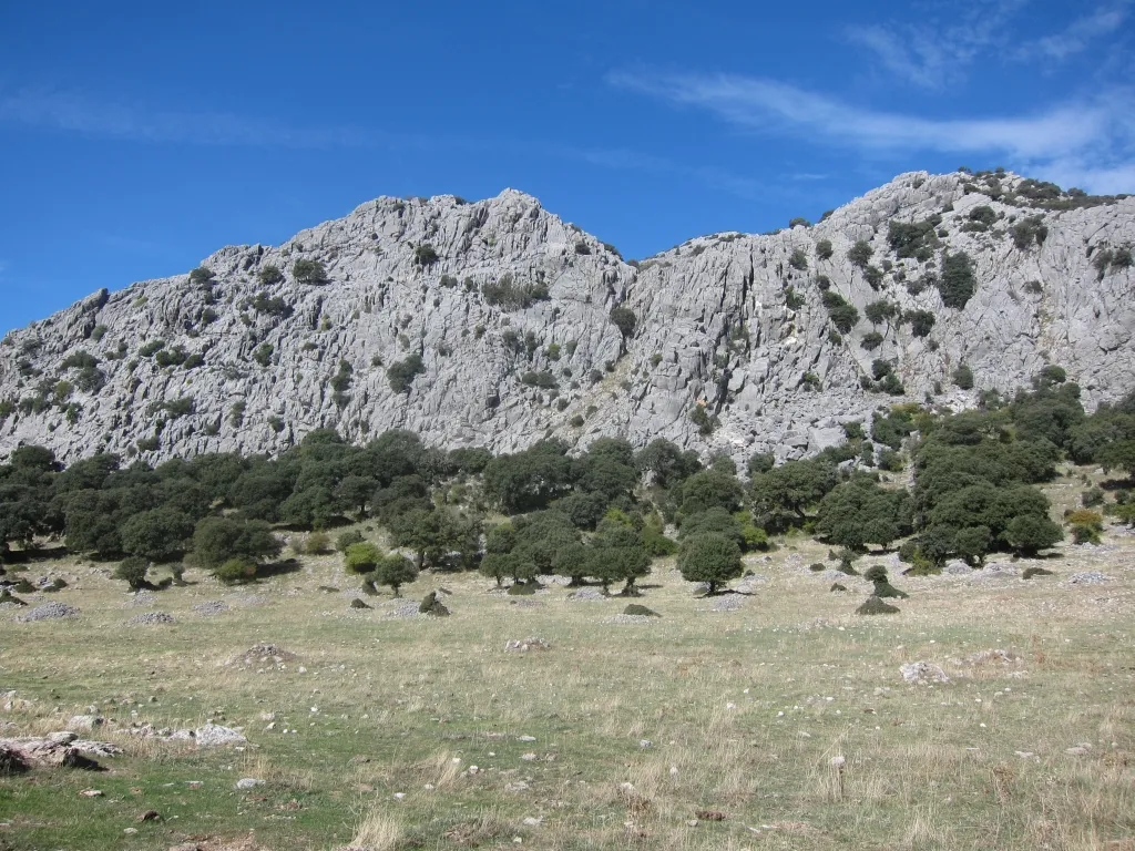 Sierra de Libar Mountain, Villaluenga del Rosario16 km NW
Sources & licences
Data last updated: