- Elevation
- 209 m
- above sea level
- Local time
- UTC+01:00
- Europe/Madrid · UTC+01:00
- Airports
- ODB Córdoba Airport49 km
- SVQ Seville Airport82 km
About Loma de Fuentidueña
Loma de Fuentidueña is a mountain. Location: Écija, Seville. Elevation: 209 m. The best months to visit are March–May, October–November. The nearest airport is Córdoba Airport (49 km). Nearby sights include Arroyo de la Drada and Castillo De Alhonoz.
Climate of Loma de Fuentidueña
Best months for sightseeingBest months for sightseeing: March–May, October–November.
This month · November
A good month to visit
Day 19° · Night 8° · Rain 81 mm
- Hottest month
- July (day 35°)
- Coldest month
- January (night 4°)
- Wettest month
- December (97 mm)
- Driest month
- July (3 mm)
Bars: average monthly low and high temperature. Below: precipitation. Monthly averages for 1970–2000 at about 18 km resolution, adjusted for elevation. Highlighted months are mild and relatively dry. Source: WorldClim 2.1 (CC BY 4.0).
Show values as a table
| Month | Jan | Feb | Mar | Apr | May | Jun | Jul | Aug | Sep | Oct | Nov | Dec |
|---|---|---|---|---|---|---|---|---|---|---|---|---|
| Average high (°C) | 15° | 17° | 20° | 21° | 25° | 30° | 35° | 34° | 31° | 24° | 19° | 15° |
| Average low (°C) | 4° | 5° | 6° | 8° | 11° | 15° | 18° | 18° | 16° | 12° | 8° | 5° |
| Precipitation (mm) | 82 | 53 | 44 | 53 | 36 | 16 | 3 | 4 | 22 | 61 | 81 | 97 |
Other places to visit in this season: March April May October November
How to get to Loma de Fuentidueña
The nearest airport is Córdoba Airport (ODB), 49 km to the north as the crow flies. For international flights: Seville Airport (SVQ) (82 km). The nearest large city is Córdoba, 56 km to the north.
Airports
- Córdoba Airport (ODB) Córdoba 49 kmnorth
- Seville Airport (SVQ) Seville 82 kmwest
- Málaga-Costa del Sol Airport (AGP) Málaga 91 kmsoutheast
Nearby large cities
- Córdoba Population: 325.7K 56 kmnorth
- Dos Hermanas Population: 122.9K 85 kmwest
- Seville Population: 686.7K 89 kmwest
- Málaga Population: 592.3K 91 kmsoutheast
- Marbella Population: 156.3K 100 kmsouth
Straight-line distances; road distances are longer. Airport data: OurAirports.
Day trips from Loma de Fuentidueña
Within 100 km: 474 historic and cultural sites, 227 natural sites, 448 lakes, rivers and coasts.
0–25 km68 places
- Loma del Pozo de Osuna Mountain 16 kmW
- Sierra de Castillo Mountain 24 kmE
- Parque San Arcadio Natural site 22 kmSW
- Parque Derramadero Natural site 23 kmSW
25–60 km321 places
- Laguna Salada Lake 39 kmSE
- Pantano del Chorro Lake 53 kmS
- Pantano de la Brena Lake 47 kmN
- Cerro del Trigo Mountain 56 kmN
60–100 km760 places
- Playa de la Caleta Beach 92 kmSE
- Platja Rincón de la Victoria Beach 99 kmSE
- Playa Bonita Beach 99 kmS
- Playa del Palo Beach 94 kmSE
Straight-line distances.
Nearest towns and villages
-
Marinaleda Village, Marinaleda4.4 km S
-
 Marinaleda Municipality, Seville5.1 km SE
-
El Rubio Village, Rubio, El6.3 km S
-
Rubio, El Municipality, Seville8.2 km SW
-
Matarredonda Village, Marinaleda4.4 km SE
-
 Herrera Municipality, Seville10 km E
Nearby attractions & nature
Everything nearby-
Arroyo de la Drada River, Estepa5 km S
-
Castillo De Alhonoz Historic site, Écija7.1 km E
-
Arroyo Salado River, Estepa7.7 km E
-
Loma de Flores Mountain, Gilena18 km SE
-
Arroyo de la Vizcaína River, Spain12 km E
-
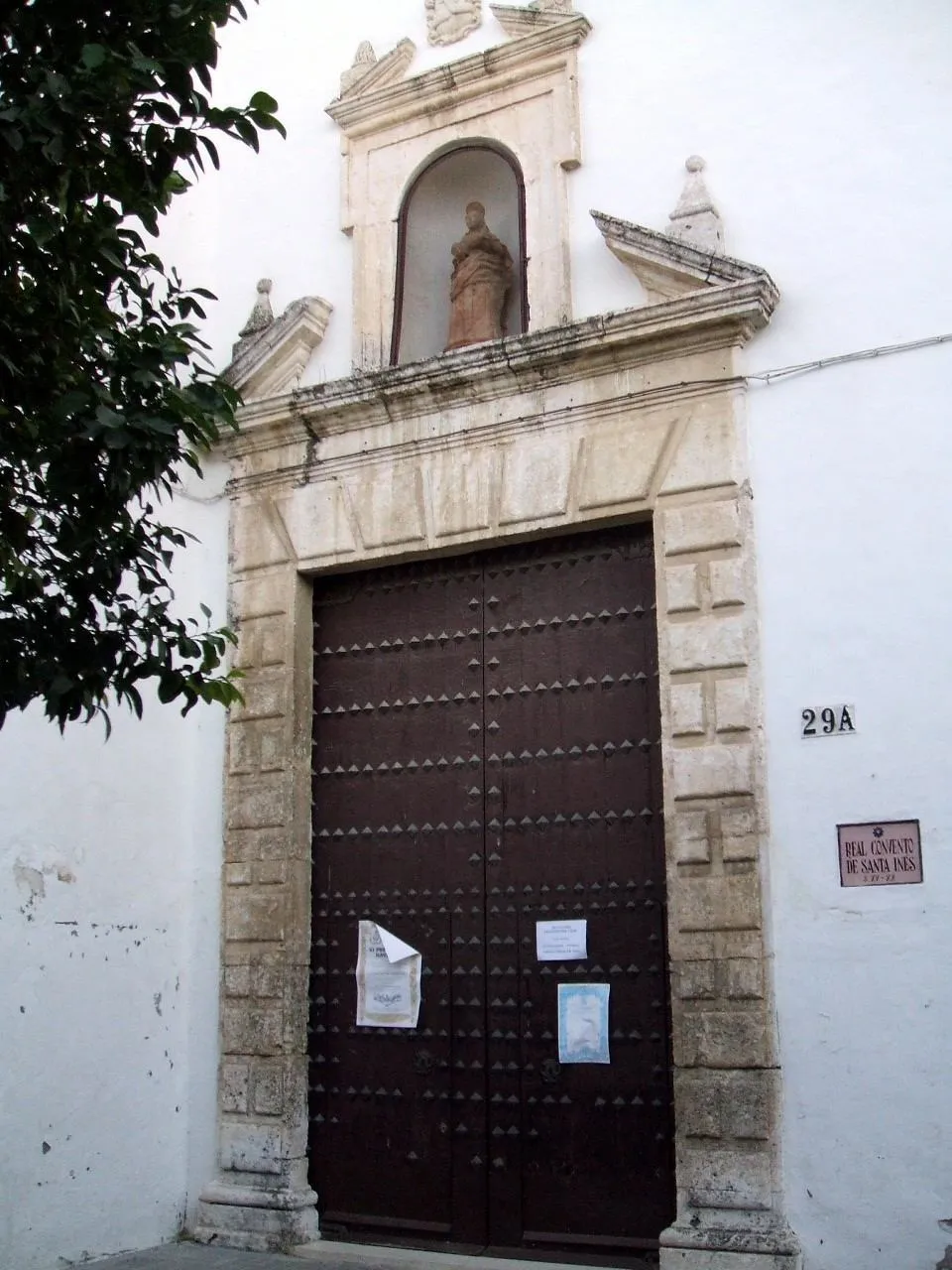 Real Monasterio de Santa Inés del Valle Attraction, Écija18 km NW
-
Loma del Pozo de Osuna Mountain, Écija16 km W
-
Arroyo de la Sal River, Santaella9.3 km NE
Sources & licences
Data last updated: