Parque Frente Fluvial Expo de Zaragoza
Located in Zaragoza Municipality, Saragossa Coordinates: 41°40′04″ N 0°53′55″ W
- Elevation
- 195 m
- above sea level
- Local time
- UTC+01:00
- Europe/Madrid · UTC+01:00
- Airports
- ZAZ Zaragoza Airport12 km
- ILD Lleida-Alguaire Airport120 km
About Parque Frente Fluvial Expo de Zaragoza
Parque Frente Fluvial Expo de Zaragoza is a natural site. Location: Zaragoza Municipality, Saragossa. The best months to visit are April–May, September–October. The nearest airport is Zaragoza Airport (12 km). Nearby sights include Cruz Roja and Respeto Park.
Photos of Parque Frente Fluvial Expo de Zaragoza
-
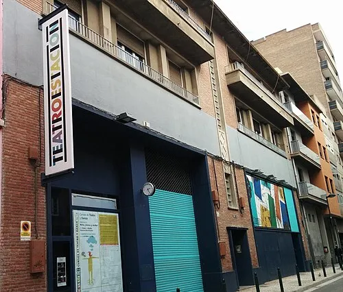
Teatro de la Estación Ajzh2074 · CC BY-SA 4.0 -
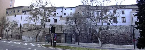
Monastery of Comendadoras Canonesas del Santo Sepulcro ecelan · CC BY 2.5 -
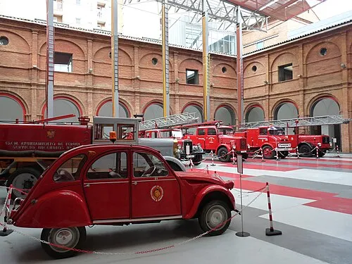
Museo del Fuego y de los Bomberos ecelan · CC BY-SA 3.0 -
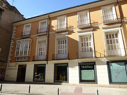
Museo del Teatro de Caesaraugusta Millars · CC BY-SA 4.0


Climate of Parque Frente Fluvial Expo de Zaragoza
Best months for sightseeingBest months for sightseeing: April–May, September–October.
This month · November
Outside the best season
Day 15° · Night 6° · Rain 33 mm
Better nearby cities in November
- Alicante · 371 km south20°
- Elche · 379 km south20°
- Orihuela · 398 km south20°
- Hottest month
- July (day 32°)
- Coldest month
- January (night 3°)
- Wettest month
- May (50 mm)
- Driest month
- July (19 mm)
Bars: average monthly low and high temperature. Below: precipitation. Monthly averages for 1970–2000 at about 18 km resolution, adjusted for elevation. Highlighted months are mild and relatively dry. Source: WorldClim 2.1 (CC BY 4.0).
Show values as a table
| Month | Jan | Feb | Mar | Apr | May | Jun | Jul | Aug | Sep | Oct | Nov | Dec |
|---|---|---|---|---|---|---|---|---|---|---|---|---|
| Average high (°C) | 11° | 14° | 17° | 19° | 24° | 28° | 32° | 32° | 28° | 21° | 15° | 12° |
| Average low (°C) | 3° | 4° | 6° | 8° | 12° | 15° | 18° | 18° | 15° | 11° | 6° | 4° |
| Precipitation (mm) | 25 | 23 | 24 | 40 | 50 | 37 | 19 | 24 | 31 | 35 | 33 | 29 |
Other places to visit in this season: April May September October
How to get to Parque Frente Fluvial Expo de Zaragoza
The nearest airport is Zaragoza Airport (ZAZ), 12 km to the west as the crow flies. The nearest large city is Zaragoza, 2 km to the southeast.
Airports
- Zaragoza Airport (ZAZ) Zaragoza 12 kmwest
- Lleida-Alguaire Airport (ILD) Lleida 120 kmeast
- Pamplona Airport (PNA) Pamplona 137 kmnorthwest
Nearby large cities
- Zaragoza Population: 687K 2 kmsoutheast
- Lleida Population: 140.8K 127 kmeast
- Pamplona Population: 208.2K 142 kmnorthwest
- Logroño Population: 151.2K 156 kmnorthwest
- Reus Population: 103.5K 177 kmeast
Straight-line distances; road distances are longer. Airport data: OurAirports.
Day trips from Parque Frente Fluvial Expo de Zaragoza
Within 100 km: 163 historic and cultural sites, 133 natural sites, 116 lakes, rivers and coasts.
0–25 km85 places
- Tío Jorge Park Natural site 2 kmE
- Bruil Park Natural site 3 kmSE
- Miraflores Park Natural site 3 kmSE
- Grande José Antonio Labordeta Park Natural site 4 kmS
25–60 km51 places
- Embalse de la Sotonera Lake 53 kmN
- Pantano de las Torcas Lake 45 kmS
- Pantano de Moneva Lake 56 kmS
- Balsa de la Higuera Lake 54 kmS
60–100 km276 places
- Laguna Salada Lake 76 kmSE
- Pantano de la Peña Lake 81 kmN
- Pantano de la Nava Lake 72 kmN
- Pantano de la Nava Lake 87 kmNW
Straight-line distances.
Nearest towns and villages
-
 Zaragoza City, Zaragoza Municipality2.2 km SE
-
Almozara Neighbourhood, Zaragoza Municipality0.8 km S
-
Delicias Neighbourhood, Zaragoza Municipality2.2 km S
-
Oliver-Valdefierro Neighbourhood, Zaragoza Municipality3.9 km SW
-
Montecanal Neighbourhood, Zaragoza Municipality5.4 km SW
-
Actur Neighbourhood, Zaragoza Municipality0.8 km NE
Nearby attractions & nature
Everything nearby-
Cruz Roja Natural site, Zaragoza Municipality0.3 km SE
-
Respeto Park Natural site, Zaragoza Municipality0.4 km NE
-
Jardines de Atenas Park Natural site, Zaragoza Municipality0.7 km SW
-
Poetas Park Natural site, Zaragoza Municipality1.5 km E
-
Acuario de Zaragoza Attraction, Zaragoza Municipality0.2 km N
-
Tío Jorge Park Natural site, Zaragoza Municipality1.8 km E
-
Macanaz Park Natural site, Zaragoza Municipality1.8 km SE
-
Anfiteatro Parque Fluvial Expo Attraction, Zaragoza Municipality0.5 km W
Sources & licences
Data last updated: