- Elevation
- 762 m
- above sea level
- Local time
- UTC+01:00
- Europe/Madrid · UTC+01:00
- Airports
- VIT Vitoria Airport27 km
- RJL Logroño-Agoncillo Airport36 km
About Santa Pía
Santa Pía is a village. Location: Arraia-Maeztu, Araba / Álava. Elevation: 762 m. The best months to visit are June–September. The nearest airport is Vitoria Airport (27 km). Nearby sights include Abitigarra and Mendizorrotza Stadium.
Climate of Santa Pía
Best months for sightseeingBest months for sightseeing: June–September.
This month · November
A cold month
Day 11° · Night 3° · Rain 82 mm
- Hottest month
- August (day 25°)
- Coldest month
- January (night 0°)
- Wettest month
- April (86 mm)
- Driest month
- July (42 mm)
Bars: average monthly low and high temperature. Below: precipitation. Monthly averages for 1970–2000 at about 18 km resolution, adjusted for elevation. Highlighted months are mild and relatively dry. Source: WorldClim 2.1 (CC BY 4.0).
Show values as a table
| Month | Jan | Feb | Mar | Apr | May | Jun | Jul | Aug | Sep | Oct | Nov | Dec |
|---|---|---|---|---|---|---|---|---|---|---|---|---|
| Average high (°C) | 7° | 9° | 12° | 13° | 17° | 21° | 24° | 25° | 22° | 16° | 11° | 8° |
| Average low (°C) | 0° | 1° | 2° | 3° | 6° | 9° | 12° | 12° | 10° | 7° | 3° | 1° |
| Precipitation (mm) | 74 | 62 | 56 | 86 | 82 | 57 | 42 | 44 | 47 | 70 | 82 | 78 |
Other places to visit in this season: June July August September
How to get to Santa Pía
The nearest airport is Vitoria Airport (VIT), 27 km to the northwest as the crow flies. The nearest large city is Vitoria-Gasteiz, 21 km to the northwest.
Airports
- Vitoria Airport (VIT) Alava 27 kmnorthwest
- Logroño-Agoncillo Airport (RJL) Logroño 36 kmsouth
- Pamplona Airport (PNA) Pamplona 65 kmeast
Nearby large cities
- Vitoria-Gasteiz Population: 257.4K 21 kmnorthwest
- Logroño Population: 151.2K 34 kmsouth
- Pamplona Population: 208.2K 65 kmeast
- Bilbao Population: 347.3K 68 kmnorthwest
- Donostia / San Sebastian Population: 185.4K 71 kmnortheast
Straight-line distances; road distances are longer. Airport data: OurAirports.
Day trips from Santa Pía
Within 100 km: 341 historic and cultural sites, 299 natural sites, 205 lakes, rivers and coasts.
0–25 km51 places
- Reservoir of Ullíbarri-Gamboa Lake 21 kmNW
- Iermanda Mountain 9 kmSW
- Peñas de Ulibarri Mountain 18 kmE
- Sierra de Santiago de Loquiz Mountain 24 kmE
25–60 km197 places
- Pantano de Valbornedo Lake 41 kmS
- Pantano de la Grajera Lake 37 kmS
- El Lago Lake 55 kmSW
- Pantano de Alloz Lake 41 kmE
60–100 km597 places
- Nerbioi / Nervión River 76 kmNW
- Valle de Baztan Natural site 88 kmNE
- Iglesia San Juan Bautista Attraction 78 kmNE
- Yamaguchi Natural site 63 kmE
Straight-line distances.
Nearby attractions & nature
Everything nearby-
Abitigarra Mountain, Arraia-Maeztu4.9 km SE
-
 Mendizorrotza Stadium Landmark, Gasteiz / Vitoria22 km W
-
 Artium Museum Museum, Gasteiz / Vitoria21 km NW
-
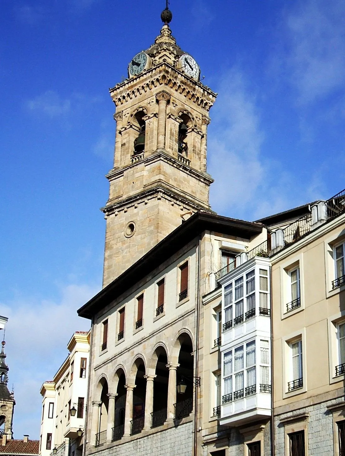 Church of San Vicente Mártir Attraction, Gasteiz / Vitoria21 km NW
-
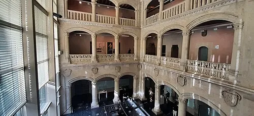 Palacio de Bendaña Historic site, Gasteiz / Vitoria21 km NW
-
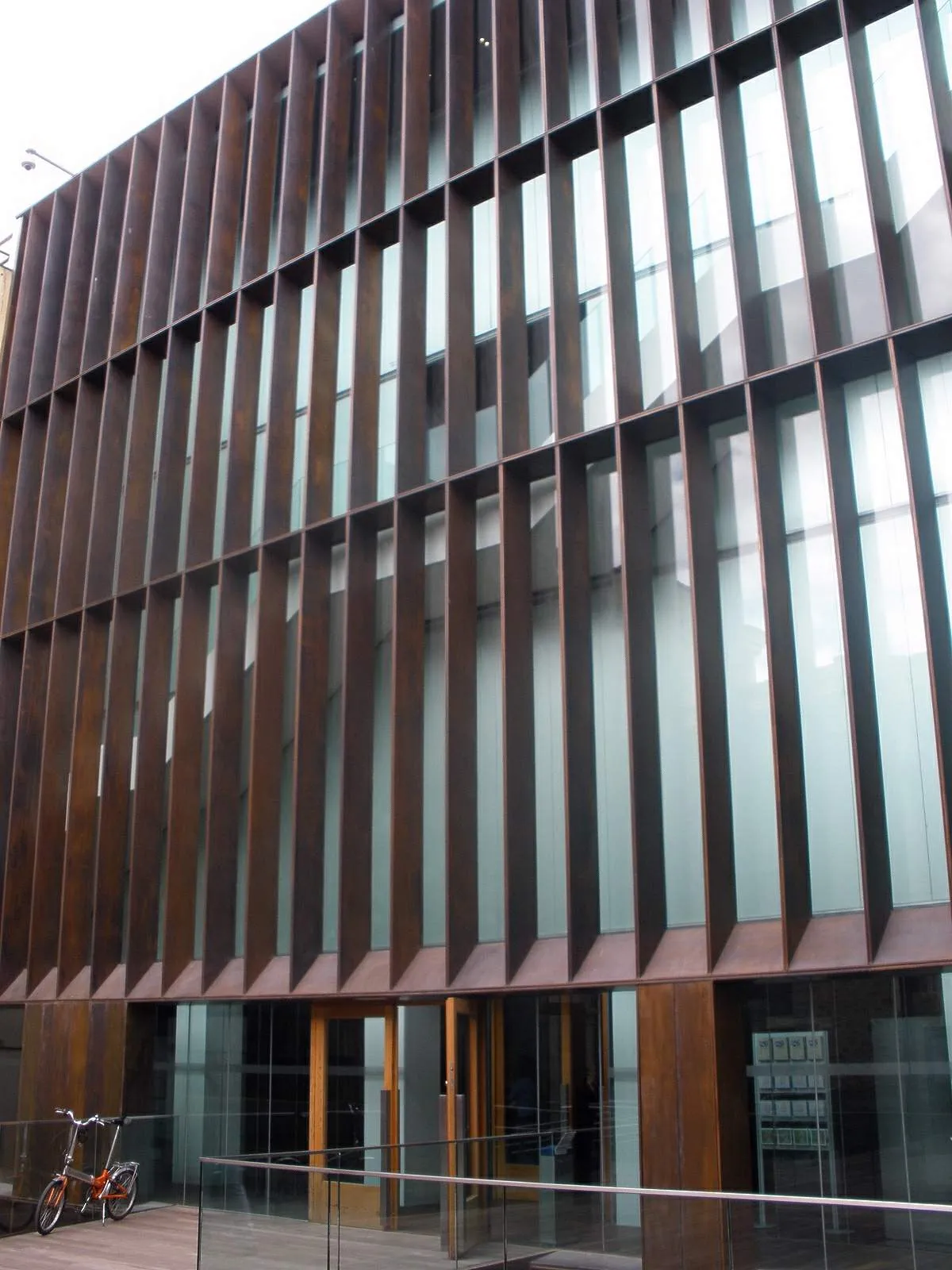 Museo de Arqueología de Álava Museum, Gasteiz / Vitoria21 km NW
Sources & licences
Data last updated: