Iglesia de San Miguel Arcángel
Located in Gasteiz / Vitoria, Araba / Álava Coordinates: 42°50′51″ N 2°40′23″ W
- Local time
- UTC+01:00
- Europe/Madrid · UTC+01:00
- Elevation
- 537 m
- above sea level
- Airports
- VIT Vitoria Airport6 km
- RJL Logroño-Agoncillo Airport52 km
About Iglesia de San Miguel Arcángel
Iglesia de San Miguel Arcángel is a tourist attraction. Location: Gasteiz / Vitoria, Araba / Álava. The best months to visit are June–September. The nearest airport is Vitoria Airport (6 km). Nearby sights include Church of San Vicente Mártir and Palacio de Bendaña.
Photos of Iglesia de San Miguel Arcángel
-
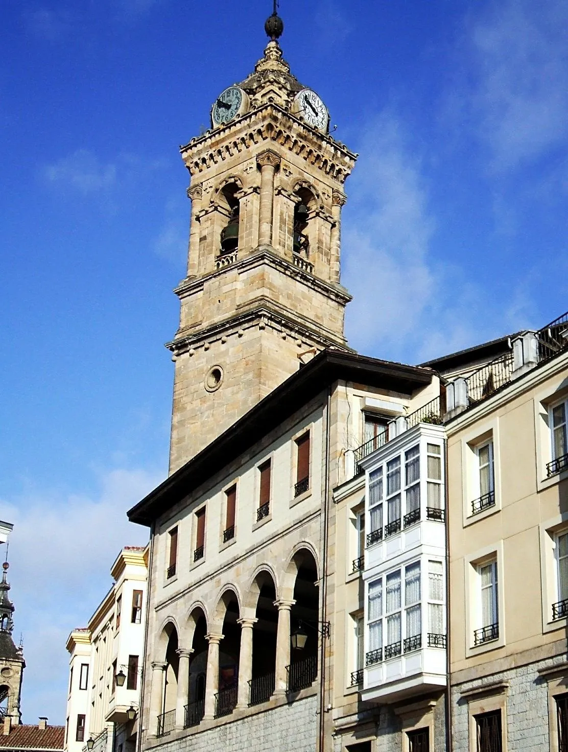
Church of San Vicente Mártir Zarateman · Public domain -
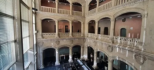
Palacio de Bendaña Wikiriki00 · CC BY-SA 4.0 -

Mendizorrotza Stadium Miguelazo84 · CC BY-SA 4.0 -
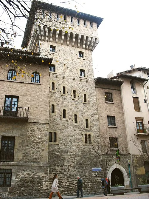
Torre de doña Ochanda No machine-readable author provided. Miguel Andrade assumed · Public domain -
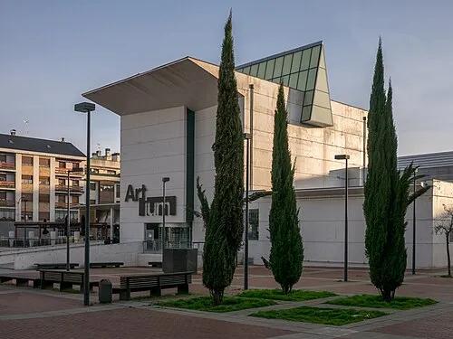
Artium Museum Basotxerri · CC BY-SA 4.0


Climate of Iglesia de San Miguel Arcángel
Best months for sightseeingBest months for sightseeing: June–September.
This month · November
Outside the best season
Day 12° · Night 4° · Rain 98 mm
- Hottest month
- August (day 25°)
- Coldest month
- January (night 1°)
- Wettest month
- November (98 mm)
- Driest month
- July (44 mm)
Bars: average monthly low and high temperature. Below: precipitation. Monthly averages for 1970–2000 at about 18 km resolution, adjusted for elevation. Highlighted months are mild and relatively dry. Source: WorldClim 2.1 (CC BY 4.0).
Show values as a table
| Month | Jan | Feb | Mar | Apr | May | Jun | Jul | Aug | Sep | Oct | Nov | Dec |
|---|---|---|---|---|---|---|---|---|---|---|---|---|
| Average high (°C) | 8° | 10° | 13° | 14° | 18° | 21° | 25° | 25° | 23° | 17° | 12° | 9° |
| Average low (°C) | 1° | 2° | 3° | 4° | 8° | 10° | 12° | 13° | 11° | 8° | 4° | 3° |
| Precipitation (mm) | 87 | 74 | 69 | 94 | 86 | 59 | 44 | 52 | 49 | 80 | 98 | 88 |
Other places to visit in this season: June July August September
How to get to Iglesia de San Miguel Arcángel
The nearest airport is Vitoria Airport (VIT), 6 km to the northwest as the crow flies. For international flights: Bilbao Airport (BIO) (54 km). The nearest large city is Vitoria-Gasteiz, 1 km to the north.
Airports
- Vitoria Airport (VIT) Alava 6 kmnorthwest
- Logroño-Agoncillo Airport (RJL) Logroño 52 kmsoutheast
- Bilbao Airport (BIO) Bilbao 54 kmnorth
Nearby large cities
- Vitoria-Gasteiz Population: 257.4K 1 kmnorth
- Logroño Population: 151.2K 46 kmsoutheast
- Bilbao Population: 347.3K 50 kmnorthwest
- Barakaldo Population: 100.4K 56 kmnorthwest
- Donostia / San Sebastian Population: 185.4K 77 kmnortheast
Straight-line distances; road distances are longer. Airport data: OurAirports.
Day trips from Iglesia de San Miguel Arcángel
Within 100 km: 330 historic and cultural sites, 273 natural sites, 204 lakes, rivers and coasts.
0–25 km49 places
- Reservoir of Ullíbarri-Gamboa Lake 12 kmNE
- Iermanda Mountain 22 kmSE
- Oketa Mountain 19 kmN
- Gorbeia Mountain 23 kmNW
25–60 km294 places
- Nerbioi / Nervión River 58 kmNW
- Garraitz (San Nikolas) Island 59 kmN
- Pantano de Valbornedo Lake 49 kmS
- Pantano de la Grajera Lake 47 kmS
60–100 km464 places
- Iglesia San Juan Bautista Attraction 92 kmE
- Yamaguchi Natural site 83 kmE
- Arrietara Beach 66 kmNW
- Playa de San Julián Beach 84 kmNW
Straight-line distances.
Nearby attractions & nature
Everything nearby-
Church of San Vicente Mártir Attraction, Gasteiz / Vitoria0.1 km E
-
Palacio de Bendaña Historic site, Gasteiz / Vitoria0.3 km NE
-
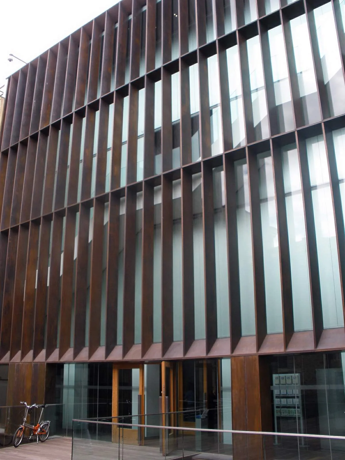 Museo de Arqueología de Álava Museum, Gasteiz / Vitoria0.3 km NE
-
Artium Museum Museum, Gasteiz / Vitoria0.5 km NE
-
Torre de doña Ochanda Landmark, Gasteiz / Vitoria0.3 km NW
-
Centro Cultural Montehermoso Attraction, Gasteiz / Vitoria0.1 km N
-
Jauregia Palacio Historic site, Gasteiz / Vitoria0.2 km W
-
Museo Provincial de Álava Museum, Gasteiz / Vitoria0.2 km NE
Nearest towns and villages
-
Vitoria-Gasteiz City, Gasteiz / Vitoria0.3 km N
-
Aretxabaleta Village, Gasteiz / Vitoria2 km S
-
Arriaga Village, Gasteiz / Vitoria2.2 km N
-
Betoño Village, Gasteiz / Vitoria2.2 km NE
More sights in Gasteiz / Vitoria
-
Mendizorrotza Stadium Landmark, Gasteiz / Vitoria1.7 km SW
-
Palacio Escoriaza-Esquivel Historic site, Gasteiz / Vitoria0.3 km N
-
Museo Fournier de Naipes Museum, Gasteiz / Vitoria0.3 km NE
-
Bibat Museum Museum, Gasteiz / Vitoria0.3 km NE
-
Andra Maria / Santa María Attraction, Gasteiz / Vitoria0.4 km N
-
San Prudencio Garden Attraction, Gasteiz / Vitoria0.4 km NE
Sources & licences
Data last updated: