Sierra de Igeldo
Located in Donostia / San Sebastian, Gipuzkoa Coordinates: 43°18′00″ N 2°04′00″ W
- Elevation
- 330 m
- above sea level
- Local time
- UTC+01:00
- Europe/Madrid · UTC+01:00
- Airports
- EAS San Sebastián Airport23 km
- BIQ Biarritz Pays Basque airport48 km
About Sierra de Igeldo
Sierra de Igeldo is a mountain. Location: Donostia / San Sebastian, Gipuzkoa. Elevation: 330 m. The best months to visit are June–September. The nearest airport is San Sebastián Airport (23 km). Nearby sights include Txubillo (Igeldo) Mediumwave Transmitter and Ondarreta.
Photos of Sierra de Igeldo
-
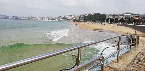
Ondarreta Josi · CC BY 4.0 -
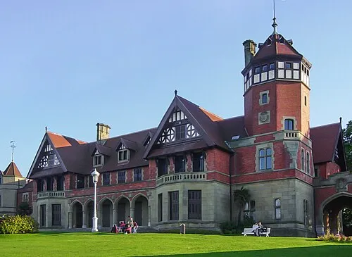
Miramar Palace Generalpoteito · CC BY-SA 3.0


Climate of Sierra de Igeldo
Best months for sightseeingBest months for sightseeing: June–September.
This month · November
A wet month
Day 14° · Night 7° · Rain 148 mm
- Hottest month
- August (day 23°)
- Coldest month
- January (night 4°)
- Wettest month
- November (148 mm)
- Driest month
- July (75 mm)
Bars: average monthly low and high temperature. Below: precipitation. Monthly averages for 1970–2000 at about 18 km resolution, adjusted for elevation. Highlighted months are mild and relatively dry. Source: WorldClim 2.1 (CC BY 4.0).
Show values as a table
| Month | Jan | Feb | Mar | Apr | May | Jun | Jul | Aug | Sep | Oct | Nov | Dec |
|---|---|---|---|---|---|---|---|---|---|---|---|---|
| Average high (°C) | 10° | 11° | 13° | 14° | 17° | 20° | 22° | 23° | 21° | 18° | 14° | 11° |
| Average low (°C) | 4° | 5° | 5° | 6° | 9° | 12° | 14° | 15° | 13° | 10° | 7° | 5° |
| Precipitation (mm) | 127 | 105 | 105 | 134 | 112 | 81 | 75 | 95 | 95 | 131 | 148 | 125 |
Other places to visit in this season: June July August September
How to get to Sierra de Igeldo
The nearest airport is San Sebastián Airport (EAS), 23 km to the east as the crow flies. The nearest large city is Donostia / San Sebastian, 8 km to the east.
Airports
- San Sebastián Airport (EAS) Hondarribia 23 kmeast
- Biarritz Pays Basque airport (BIQ) Biarritz 48 kmnortheast
- Pamplona Airport (PNA) Pamplona 68 kmsoutheast
Nearby large cities
- Donostia / San Sebastian Population: 185.4K 8 kmeast
- Pamplona Population: 208.2K 64 kmsoutheast
- Bilbao Population: 347.3K 70 kmwest
- Vitoria-Gasteiz Population: 257.4K 70 kmsouthwest
- Barakaldo Population: 100.4K 75 kmwest
Straight-line distances; road distances are longer. Airport data: OurAirports.
Day trips from Sierra de Igeldo
Within 100 km: 300 historic and cultural sites, 345 natural sites, 165 lakes, rivers and coasts.
0–25 km125 places
- Kontxa / La Concha Beach 7 kmE
- Zurriola Beach 8 kmE
- Playa de Fuenterrabía Beach 24 kmE
- Playa de Malkorbe Hondartza Beach 11 kmW
25–60 km223 places
- Valle de Baztan Natural site 49 kmE
- Iglesia San Juan Bautista Attraction 41 kmSE
- Laga Beach 49 kmW
- Garraitz (San Nikolas) Island 36 kmW
60–100 km462 places
- Nerbioi / Nervión River 76 kmW
- Yamaguchi Natural site 64 kmSE
- Arrietara Beach 76 kmW
- Gorrondatxa Beach 77 kmW
Straight-line distances.
Nearest towns and villages

Nearby attractions & nature
Everything nearby-
Txubillo (Igeldo) Mediumwave Transmitter Landmark, Usurbil0.2 km S
-
Ondarreta Beach, Donostia / San Sebastian5.6 km E
-
Txubillo (Igeldo) Mountain, Donostia / San Sebastian5.4 km NE
-
Miramar Palace Historic site, Donostia / San Sebastian5.8 km E
-
Antilla Beach, Orio5.1 km W
-
Aiete Park Natural site, Donostia / San Sebastian6.3 km E
-
Oria River River, Aia5.4 km W
-
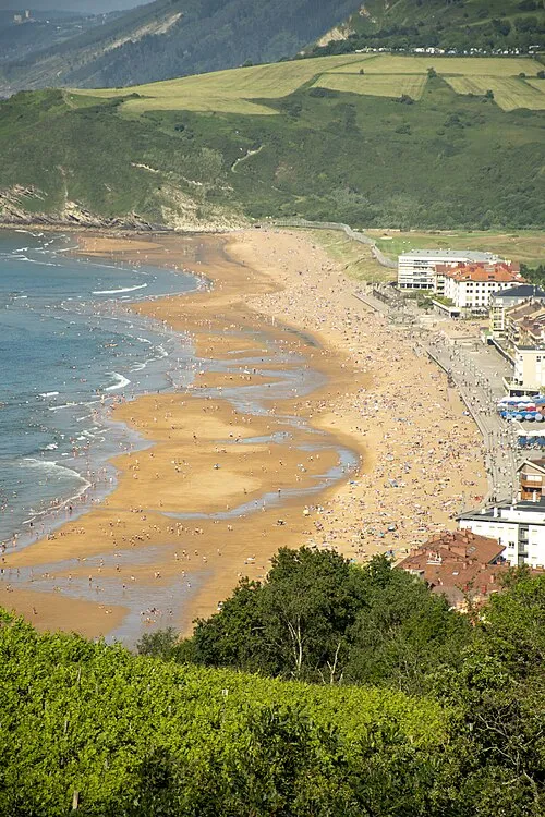 Zarautz Beach Beach, Zarautz8.3 km W
Sources & licences
Data last updated: