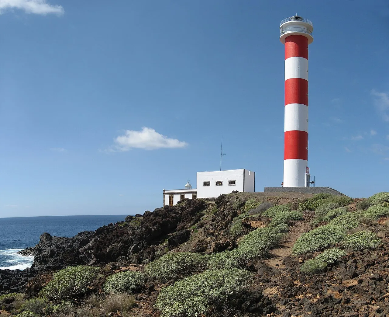
Punta Rasca Lighthouse
Local name: Faro de Punta Rasca
Located in Arona, Santa Cruz de Tenerife Coordinates: 28°00′04″ N 16°41′40″ W
- Local time
- UTC+00:00
- Atlantic/Canary · UTC+00:00
- Elevation
- 5 m
- above sea level
- Airports
- TFS Tenerife Sur Airport13 km
- TFN Tenerife Norte-Ciudad de La Laguna Airport64 km
About Punta Rasca Lighthouse
Punta Rasca Lighthouse is a landmark. Location: Arona, Santa Cruz de Tenerife.
The Punta Rasca Lighthouse (Spanish: Faro de Punta Rasca) is an active lighthouse in the municipality of Arona on the Canary Island of Tenerife. The current lighthouse was the second to be constructed on the headland of Punta Rasca, which is located close to the most southerly point on the island at Punta Salemas. It lies between the Punta Abona Lighthouse to the northeast and the Punta de Teno Lighthouse of Buenavista del Norte to the northwest.
Source: Wikipedia · CC BY-SA 4.0
At a glance
- Built
- 1883
- Height
- 32 m
Source: Wikidata
Photos of Punta Rasca Lighthouse
-

Jorge Saturno · CC BY-SA 4.0 -

Waielbi · CC BY-SA 3.0 -

Jose Mesa from island of Tenerife, Canary Islands, Spain · CC BY-SA 2.0 -

Lolatower · CC BY-SA 3.0 -

Lucasperez333 · CC BY-SA 4.0


Climate of Punta Rasca Lighthouse
Best months for sightseeingBest months for sightseeing: November–June.
This month · November
A good month to visit
Day 25° · Night 18° · Rain 40 mm
- Hottest month
- August (day 30°)
- Coldest month
- January (night 15°)
- Wettest month
- December (55 mm)
- Driest month
- July (0 mm)
Bars: average monthly low and high temperature. Below: precipitation. Monthly averages for 1970–2000 at about 18 km resolution, adjusted for elevation. Highlighted months are mild and relatively dry. Source: WorldClim 2.1 (CC BY 4.0).
Show values as a table
| Month | Jan | Feb | Mar | Apr | May | Jun | Jul | Aug | Sep | Oct | Nov | Dec |
|---|---|---|---|---|---|---|---|---|---|---|---|---|
| Average high (°C) | 22° | 22° | 23° | 24° | 25° | 27° | 29° | 30° | 29° | 27° | 25° | 23° |
| Average low (°C) | 15° | 15° | 15° | 16° | 17° | 19° | 21° | 21° | 21° | 20° | 18° | 16° |
| Precipitation (mm) | 49 | 43 | 33 | 21 | 7 | 1 | 0 | 1 | 9 | 26 | 40 | 55 |
Other places to visit in this season: January February March April May June November December
How to get to Punta Rasca Lighthouse
The nearest airport is Tenerife Sur Airport (TFS), 13 km to the east as the crow flies. The nearest large city is San Cristóbal de La Laguna, 65 km to the northeast.
Airports
- Tenerife Sur Airport (TFS) Tenerife 13 kmeast
- Tenerife Norte-Ciudad de La Laguna Airport (TFN) Tenerife 64 kmnortheast
- El Hierro Airport (VDE) El Hierro Island 119 kmwest
Nearby large cities
- San Cristóbal de La Laguna Population: 150.7K 65 kmnortheast
- Santa Cruz de Tenerife Population: 211.4K 67 kmnortheast
- Telde Population: 123.3K 125 kmeast
- Las Palmas de Gran Canaria Population: 383.5K 126 kmeast
Straight-line distances; road distances are longer. Airport data: OurAirports.
Day trips from Punta Rasca Lighthouse
Within 100 km: 110 historic and cultural sites, 170 natural sites, 91 lakes, rivers and coasts.
0–25 km64 places
- Playa de las Vistas Beach 6 kmNW
- Playa Las Galgas Beach 16 kmNW
- Iglesia y Antiguo Convento Franciscano Attraction 18 kmNE
- Ermita de San Isidro Labrador Attraction 16 kmNE
25–60 km147 places
- Tenerife Island 41 kmNE
- La Gomera Island 45 kmW
- Playa del Terrero Beach 44 kmN
- Playa de Samarines Beach 50 kmNE
60–100 km160 places
- Playa de Veneguera Beach 91 kmE
- Playa de Puerto Rico Beach 99 kmE
- Playa de las Teresitas Beach 75 kmNE
- Playa de San Roque Beach 79 kmNE
Straight-line distances.
Nearby attractions & nature
Everything nearby-
Punta Rasca Old Lighthouse Landmark, Arona<0.1 km SW
-
La Arenita Beach, Arona1.1 km E
-
Parroquia San Casiano Attraction, Arona3.7 km E
-
Iglesia Cristiana Del Sur De Tenerife Attraction, Arona5.8 km N
-
Casa Sueca Attraction, Arona5.8 km N
-
Playa Los Callados Beach, Arona4.9 km N
-
Parque De Garañaña Natural site, Arona4.8 km E
-
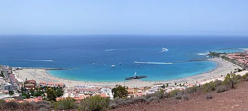 Playa de las Vistas Beach, Arona6.3 km NW
Nearest towns and villages
-
Las Rosas Neighbourhood, Arona4.3 km E
-
La Estrella Neighbourhood, Arona4.1 km E
-
 Las Galletas Village, Arona4.4 km E
-
Palm-Mar Village, Arona2.6 km N
Sources & licences
Data last updated: · 2 independent sources