Corporario
Located in Aldeadávila de la Ribera, Salamanca Coordinates: 41°12′51″ N 6°36′06″ W
- Elevation
- 698 m
- above sea level
- Local time
- UTC+01:00
- Europe/Madrid · UTC+01:00
- Airports
- BGC Bragança Airport72 km
- VRL Vila Real Airport94 km
About Corporario
Corporario is a village. Location: Aldeadávila de la Ribera, Salamanca. Elevation: 698 m. The best months to visit are June–September. The nearest airport is Bragança Airport (72 km). Nearby sights include Río de Las Ucés and Rivera de la Cabeza.
Climate of Corporario
Best months for sightseeingBest months for sightseeing: June–September.
This month · November
A wet month
Day 13° · Night 5° · Rain 126 mm
- Hottest month
- July (day 27°)
- Coldest month
- January (night 1°)
- Wettest month
- December (157 mm)
- Driest month
- July (17 mm)
Bars: average monthly low and high temperature. Below: precipitation. Monthly averages for 1970–2000 at about 18 km resolution, adjusted for elevation. Highlighted months are mild and relatively dry. Source: WorldClim 2.1 (CC BY 4.0).
Show values as a table
| Month | Jan | Feb | Mar | Apr | May | Jun | Jul | Aug | Sep | Oct | Nov | Dec |
|---|---|---|---|---|---|---|---|---|---|---|---|---|
| Average high (°C) | 9° | 11° | 14° | 15° | 18° | 23° | 27° | 27° | 24° | 18° | 13° | 10° |
| Average low (°C) | 1° | 2° | 3° | 5° | 8° | 12° | 14° | 14° | 12° | 8° | 5° | 3° |
| Precipitation (mm) | 155 | 141 | 78 | 83 | 81 | 50 | 17 | 17 | 51 | 108 | 126 | 157 |
Other places to visit in this season: June July August September
How to get to Corporario
The nearest airport is Bragança Airport (BGC), 72 km to the north as the crow flies. The nearest large city is Salamanca, 83 km to the east.
Airports
- Bragança Airport (BGC) Bragança 72 kmnorth
- Vila Real Airport (VRL) Vila Real 94 kmwest
- Salamanca Airport (SLM) Salamanca 97 kmeast
Nearby large cities
- Salamanca Population: 144.8K 83 kmeast
- Braga Population: 193.3K 157 kmwest
- Ourense Population: 105.2K 163 kmnorthwest
- Valladolid Population: 300.6K 164 kmeast
- Porto Population: 252.7K 169 kmwest
Straight-line distances; road distances are longer. Airport data: OurAirports.
Day trips from Corporario
Within 100 km: 75 historic and cultural sites, 103 natural sites, 177 lakes, rivers and coasts.
0–25 km34 places
- Río de Las Ucés River 3 kmNE
- Rivera Grande de Santa Catalina River 17 kmSE
- Arroyo Grande River 25 kmS
- Ribera de Cibanal River 25 kmE
25–60 km62 places
- Sierra de Casica Mountain 54 kmN
- Rivera de la Huerta River 32 kmE
- Río Huebra River 26 kmSW
- Rivera de Gudino River 55 kmE
60–100 km259 places
- Serra da Garraia Mountain 71 kmW
- Embalse de Ricobayo Lake 81 kmNE
- Embalse del Esla Lake 73 kmNE
- Pantano de Águeda Lake 77 kmS
Straight-line distances.
Nearby attractions & nature
Everything nearby-
Río de Las Ucés River, Pereña de la Ribera2.8 km NE
-
Rivera de la Cabeza River, Masueco4.9 km E
-
Serra de Bruçó Mountain, Braganza District10 km NW
-
Arroyo Picón del Cuervo River, Pereña de la Ribera8.4 km E
-
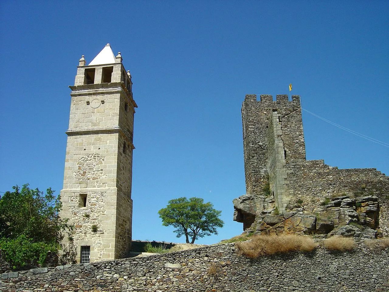 Castelo de Mogadouro Historic site, União das freguesias de Mogadouro, Valverde, Vale de Porco e Vilar de Rei17 km NW
-
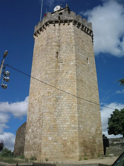 Castelo de Freixo de Espada à Cinta Historic site, União das freguesias de Freixo de Espada à Cinta e Mazouco22 km SW
Sources & licences
Data last updated: