Laguna de Duero
Located in Valladolid, Castille and León Coordinates: 41°34′11″ N 4°43′12″ W
- Population
- 22,455
- 22.5K
- Elevation
- 701 m
- above sea level
- Local time
- UTC+01:00
- Europe/Madrid · UTC+01:00
- Places inside
- 9
- listed under Laguna de Duero
- Airports
- VLL Valladolid Airport19 km
- SLM Salamanca Airport95 km
About Laguna de Duero
Laguna de Duero is a municipality. Location: Valladolid, Castille and León. Population: 22,455. Elevation: 701 m.
Laguna de Duero is a municipality located in the province of Valladolid, Castile and León, Spain. According to the 2016 census (INE), the municipality has a population of 22 ,696 inhabitants. It is the second largest city in Valladolid behind Valladolid City. Nowadays it is an industrial town situated 7 km away from the capital city of Valladolid. The town has some neighbourhoods distant from the town center like Torrelago or El Villar.
Source: Wikipedia · CC BY-SA 4.0
Places bordering Laguna de Duero
- Valladolid
- Tudela de Duero
- Boecillo
Population of Laguna de Duero over time
| 2014 | 22,555 | |
|---|---|---|
| 2015 | 22,601 | |
| 2016 | 22,696 | |
| 2017 | 22,691 | |
| 2018 | 22,645 | |
| 2019 | 22,725 | |
| 2020 | 22,765 | |
| 2021 | 22,633 | |
| 2022 | 22,642 | |
| 2023 | 22,672 | |
| 2024 | 22,907 | |
| 2025 | 22,965 |
Censuses and official estimates; source: Wikidata.
Climate of Laguna de Duero
Best months for sightseeingBest months for sightseeing: May–June, September–October.
This month · November
Outside the best season
Day 13° · Night 3° · Rain 47 mm
- Hottest month
- July (day 30°)
- Coldest month
- January (night 0°)
- Wettest month
- December (51 mm)
- Driest month
- August (17 mm)
Bars: average monthly low and high temperature. Below: precipitation. Monthly averages for 1970–2000 at about 18 km resolution, adjusted for elevation. Highlighted months are mild and relatively dry. Source: WorldClim 2.1 (CC BY 4.0).
Show values as a table
| Month | Jan | Feb | Mar | Apr | May | Jun | Jul | Aug | Sep | Oct | Nov | Dec |
|---|---|---|---|---|---|---|---|---|---|---|---|---|
| Average high (°C) | 8° | 11° | 15° | 16° | 20° | 26° | 30° | 29° | 25° | 19° | 13° | 9° |
| Average low (°C) | 0° | 1° | 3° | 5° | 8° | 11° | 14° | 14° | 11° | 7° | 3° | 1° |
| Precipitation (mm) | 44 | 30 | 23 | 41 | 49 | 35 | 18 | 17 | 29 | 41 | 47 | 51 |
Other places to visit in this season: May June September October
How to get to Laguna de Duero
The nearest airport is Valladolid Airport (VLL), 19 km to the northwest as the crow flies. The nearest large city is Valladolid, 10 km to the north.
Airports
- Valladolid Airport (VLL) Valladolid 19 kmnorthwest
- Salamanca Airport (SLM) Salamanca 95 kmsouthwest
- León Airport (LEN) La Virgen del Camino 137 kmnorthwest
Nearby large cities
- Valladolid Population: 300.6K 10 kmnorth
- Salamanca Population: 144.8K 103 kmsouthwest
- Burgos Population: 176.4K 120 kmnortheast
- León Population: 124.8K 134 kmnorthwest
- Alcobendas Population: 116K 145 kmsoutheast
Straight-line distances; road distances are longer. Airport data: OurAirports.
Day trips from Laguna de Duero
Within 100 km: 161 historic and cultural sites, 67 natural sites, 284 lakes, rivers and coasts.
0–25 km68 places
- Campo Grande Natural site 9 kmN
- Parque Covaresa Natural site 6 kmNW
- Entorno del Lago Natural site 2 kmN
- Scouts de Castilla y León Park Natural site 2 kmN
25–60 km129 places
- Robledaña Mountain 60 kmE
- Valdeherrera Mountain 45 kmE
- Montes de Torozos Natural site 28 kmN
- Fuente La Fraila Natural site 56 kmE
60–100 km315 places
- San Millán Attraction 86 kmSE
- Laguna de Taeña Lake 96 kmS
- Embalse de Ricobayo Lake 96 kmW
- Rubio Mountain 80 kmE
Straight-line distances.
Places in Laguna de Duero
9 placesBar: population relative to the most populous place in this list.
Cities & villages1
- Villar · Village
Mountains & nature4
- Entorno del Lago · Natural site
- Hoyos Park · Natural site
- Nelson Mandela Park · Natural site
- Scouts de Castilla y León Park · Natural site
Heritage & sights3
- Estadio Municipal La Laguna · Landmark
- Parroquia de la Asunción de Nuestra Señora · Attraction
- Plaza de Toros Laguna de Duero · Attraction
Nearby attractions & nature
Everything nearby-
Río Cega River, Spain4.6 km SW
-
San Cristobal Mediumwave Transmitter Landmark, Valladolid5.2 km N
-
Arroyo Santa María River, Aldeamayor de San Martín4.7 km SE
-
Paseo de la Galerina Mediumwave Transmitter Landmark, Valladolid5.2 km N
-
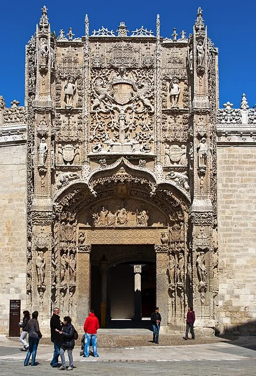 National Sculpture Museum Museum, Valladolid9.7 km N
-
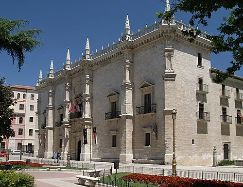 Santa Cruz Palace Historic site, Valladolid9.1 km N
-
Parque Covaresa Natural site, Valladolid5.7 km NW
-
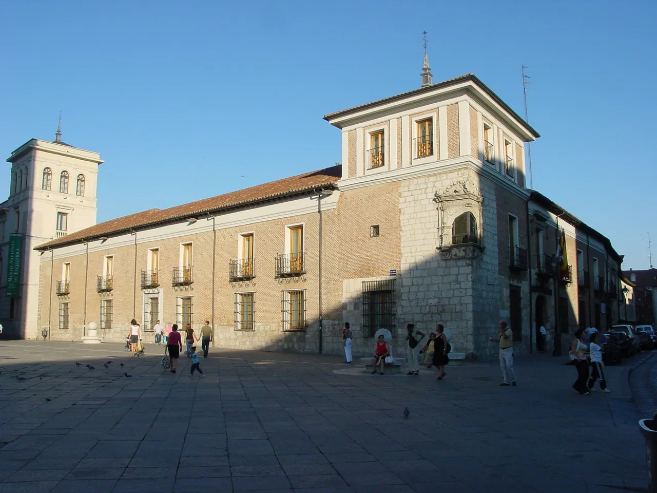 Palacio de Pimentel Historic site, Valladolid9.7 km N
Sources & licences
Data last updated: · 2 independent sources