Villanubla
Located in Valladolid, Castille and León Coordinates: 41°42′02″ N 4°50′13″ W
- Population
- 2,367
- 2.4K
- Elevation
- 846 m
- above sea level
- Local time
- UTC+01:00
- Europe/Madrid · UTC+01:00
- Places inside
- 1
- listed under Villanubla
- Airports
- VLL Valladolid Airport1 km
- SLM Salamanca Airport100 km
About Villanubla
Villanubla is a municipality. Location: Valladolid, Castille and León. Population: 2,367. Elevation: 846 m.
Villanubla is a municipality located in the province of Valladolid, Castile and León, Spain. According to the 2018 census (INE), the municipality has a population of 2,692 inhabitants. The Valladolid Airport is located in this municipality.
Source: Wikipedia · CC BY-SA 4.0
Places bordering Villanubla
- Wamba
- Valladolid
- Mucientes
Population of Villanubla over time
| 2014 | 2,484 | |
|---|---|---|
| 2015 | 2,565 | |
| 2016 | 2,615 | |
| 2017 | 2,671 | |
| 2018 | 2,692 | |
| 2019 | 2,713 | |
| 2020 | 2,769 | |
| 2021 | 2,828 | |
| 2022 | 2,886 | |
| 2023 | 2,911 | |
| 2024 | 2,915 | |
| 2025 | 2,903 |
Censuses and official estimates; source: Wikidata.
Climate of Villanubla
Best months for sightseeingBest months for sightseeing: May–June, September.
This month · November
Outside the best season
Day 12° · Night 3° · Rain 51 mm
- Hottest month
- July (day 29°)
- Coldest month
- January (night -1°)
- Wettest month
- December (56 mm)
- Driest month
- August (19 mm)
Bars: average monthly low and high temperature. Below: precipitation. Monthly averages for 1970–2000 at about 18 km resolution, adjusted for elevation. Highlighted months are mild and relatively dry. Source: WorldClim 2.1 (CC BY 4.0).
Show values as a table
| Month | Jan | Feb | Mar | Apr | May | Jun | Jul | Aug | Sep | Oct | Nov | Dec |
|---|---|---|---|---|---|---|---|---|---|---|---|---|
| Average high (°C) | 7° | 10° | 14° | 15° | 19° | 24° | 29° | 29° | 25° | 18° | 12° | 8° |
| Average low (°C) | -1° | 0° | 2° | 4° | 7° | 10° | 13° | 13° | 10° | 6° | 3° | 1° |
| Precipitation (mm) | 48 | 35 | 28 | 44 | 53 | 40 | 20 | 19 | 30 | 47 | 51 | 56 |
How to get to Villanubla
The nearest airport is Valladolid Airport (VLL), 1 km to the northwest as the crow flies. The nearest large city is Valladolid, 11 km to the southeast.
Airports
- Valladolid Airport (VLL) Valladolid 1 kmnorthwest
- Salamanca Airport (SLM) Salamanca 100 kmsouthwest
- León Airport (LEN) La Virgen del Camino 120 kmnorthwest
Nearby large cities
- Valladolid Population: 300.6K 11 kmsoutheast
- Salamanca Population: 144.8K 107 kmsouthwest
- León Population: 124.8K 117 kmnorthwest
- Burgos Population: 176.4K 118 kmnortheast
- Alcobendas Population: 116K 163 kmsoutheast
Straight-line distances; road distances are longer. Airport data: OurAirports.
Day trips from Villanubla
Within 100 km: 138 historic and cultural sites, 57 natural sites, 259 lakes, rivers and coasts.
0–25 km58 places
- Montes de Torozos Natural site 13 kmN
- Campo Grande Natural site 11 kmSE
- Parque Covaresa Natural site 12 kmSE
- Entorno del Lago Natural site 16 kmSE
25–60 km110 places
- Valdeherrera Mountain 52 kmE
- Monte de la Reina Natural site 58 kmW
- Parque Villa De Las Ferias Natural site 44 kmS
- Parque Aguacaballos Natural site 44 kmS
60–100 km286 places
- Embalse de Ricobayo Lake 85 kmW
- Embalse del Esla Lake 91 kmW
- Rubio Mountain 93 kmE
- Campanario Mountain 99 kmW
Straight-line distances.
Places in Villanubla
1 placeBar: population relative to the most populous place in this list.
Nearby attractions & nature
Everything nearby-
Castillo de Fuensaldaña Historic site, Fuensaldaña5.8 km E
-
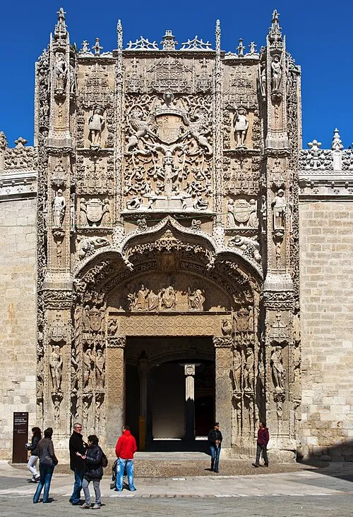 National Sculpture Museum Museum, Valladolid11 km SE
-
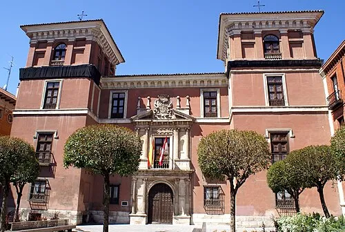 Palacio de Fabio Nelli Historic site, Valladolid10 km SE
-
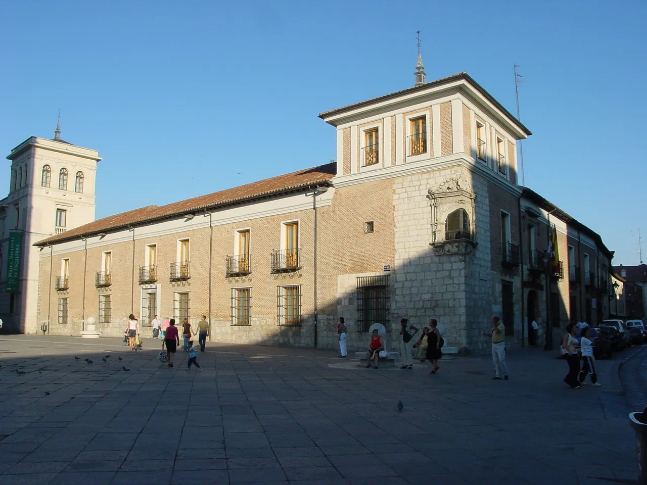 Palacio de Pimentel Historic site, Valladolid11 km SE
-
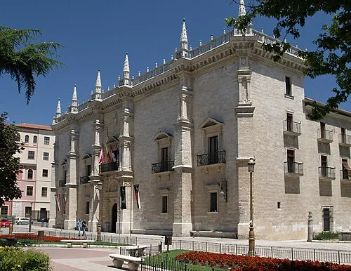 Santa Cruz Palace Historic site, Valladolid11 km SE
-
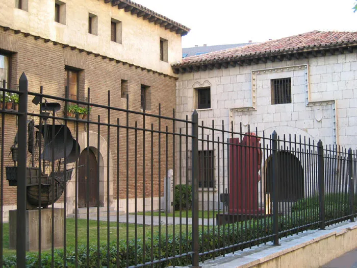 Christopher Columbus Museum Museum, Valladolid11 km SE
-
Castillo de Mucientes Historic site, Mucientes7.7 km NE
-
Barrio Parquesol Mediumwave Transmitter Landmark, Valladolid8.8 km SE
Sources & licences
Data last updated: · 2 independent sources