- Elevation
- 1,168 m
- above sea level
- Local time
- UTC+01:00
- Europe/Madrid · UTC+01:00
- Airports
- RMU Region of Murcia International Airport148 km
- ALC Alicante-Elche Miguel Hernández Airport173 km
About Las Parideras
Las Parideras is a village. Location: Vianos, Albacete. Elevation: 1,168 m. The best months to visit are May–June, September–October. The nearest airport is Region of Murcia International Airport (148 km). Nearby sights include Almenaras and La Sarga.
Climate of Las Parideras
Best months for sightseeingBest months for sightseeing: May–June, September–October.
This month · November
Outside the best season
Day 12° · Night 1° · Rain 53 mm
Better nearby cities in November
- Murcia · 136 km southeast20°
- Orihuela · 146 km east20°
- Elche · 161 km east20°
- Hottest month
- July (day 33°)
- Coldest month
- January (night -2°)
- Wettest month
- December (59 mm)
- Driest month
- August (8 mm)
Bars: average monthly low and high temperature. Below: precipitation. Monthly averages for 1970–2000 at about 18 km resolution, adjusted for elevation. Highlighted months are mild and relatively dry. Source: WorldClim 2.1 (CC BY 4.0).
Show values as a table
| Month | Jan | Feb | Mar | Apr | May | Jun | Jul | Aug | Sep | Oct | Nov | Dec |
|---|---|---|---|---|---|---|---|---|---|---|---|---|
| Average high (°C) | 8° | 10° | 14° | 16° | 21° | 27° | 33° | 32° | 27° | 19° | 12° | 9° |
| Average low (°C) | -2° | -1° | 0° | 3° | 7° | 11° | 15° | 14° | 10° | 5° | 1° | -1° |
| Precipitation (mm) | 47 | 43 | 36 | 53 | 48 | 29 | 10 | 8 | 23 | 52 | 53 | 59 |
Other places to visit in this season: May June September October
How to get to Las Parideras
The nearest airport is Region of Murcia International Airport (RMU), 148 km to the southeast as the crow flies. The nearest large city is Albacete, 73 km to the northeast.
Airports
- Region of Murcia International Airport (RMU) Corvera 148 kmsoutheast
- Alicante-Elche Miguel Hernández Airport (ALC) Alicante 173 kmeast
- F.G.L. Airport Granada-Jaén Airport (GRX) Granada 190 kmsouthwest
Nearby large cities
- Albacete Population: 173K 73 kmnortheast
- Murcia Population: 472K 137 kmsoutheast
- Jaén Population: 113.5K 144 kmsouthwest
- Orihuela Population: 101.3K 147 kmeast
- Elche Population: 234.8K 161 kmeast
Straight-line distances; road distances are longer. Airport data: OurAirports.
Day trips from Las Parideras
Within 100 km: 140 historic and cultural sites, 153 natural sites, 163 lakes, rivers and coasts.
0–25 km44 places
- Cerro Vico Mountain 14 kmSW
- Sierra de Relumbrar Mountain 19 kmW
- Jaroso Mountain 23 kmW
- Cerro de Carboneras Mountain 11 kmW
25–60 km112 places
- Laguna Tinajas Lake 49 kmNW
- Pantano de Talave Lake 55 kmE
- Laguna San Pedro Lake 49 kmNW
- Laguna del Rey Lake 55 kmNW
60–100 km300 places
- Pantano de Valdeinfierno Lake 97 kmSE
- Pantano de Quipar Lake 88 kmSE
- Laguna Salada de Pétrola Lake 87 kmE
- Laguna de Manjavacas Lake 99 kmN
Straight-line distances.
Nearby attractions & nature
Everything nearby-
Almenaras Mountain, Bogarra5.7 km SE
-
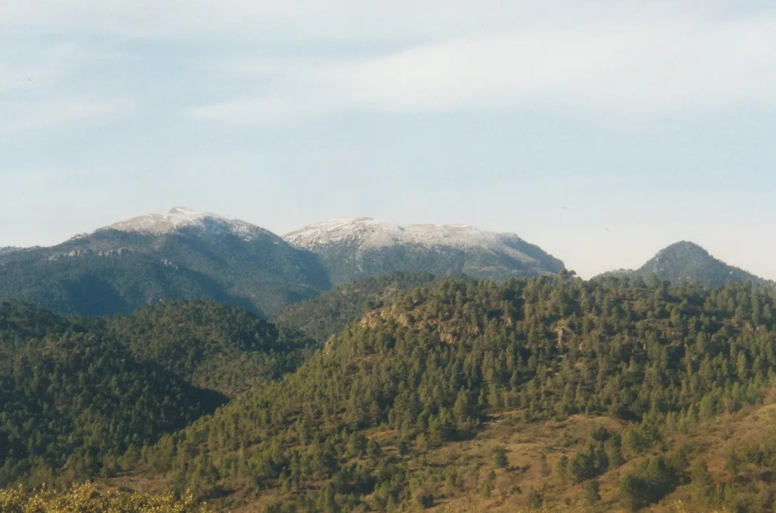 La Sarga Mountain, Villaverde de Guadalimar8.2 km S
-
Río de las Crucetas River, Alcaraz5 km NW
-
Río del Ojuelo River, Alcaraz5 km NW
-
Padroncillo Mountain, Villaverde de Guadalimar11 km S
-
Cerro de Carboneras Mountain, Bienservida11 km W
Sources & licences
Data last updated: