- Elevation
- 810 m
- above sea level
- Local time
- UTC+01:00
- Europe/Madrid · UTC+01:00
- Airports
- RMU Region of Murcia International Airport129 km
- LEI Almería Airport162 km
About Alcantarilla
Alcantarilla is a village. Location: Yeste, Albacete. Elevation: 810 m. The best months to visit are May, October. The nearest airport is Region of Murcia International Airport (129 km). Nearby sights include Calar de la Sima and Arroyo de la Espinea.
Climate of Alcantarilla
Best months for sightseeingBest months for sightseeing: May, October.
This month · November
Outside the best season
Day 15° · Night 4° · Rain 54 mm
Better nearby cities in November
- Murcia · 120 km east20°
- Orihuela · 133 km east20°
- Cartagena · 150 km southeast21°
- Hottest month
- July (day 35°)
- Coldest month
- January (night 1°)
- Wettest month
- December (57 mm)
- Driest month
- August (9 mm)
Bars: average monthly low and high temperature. Below: precipitation. Monthly averages for 1970–2000 at about 18 km resolution, adjusted for elevation. Highlighted months are mild and relatively dry. Source: WorldClim 2.1 (CC BY 4.0).
Show values as a table
| Month | Jan | Feb | Mar | Apr | May | Jun | Jul | Aug | Sep | Oct | Nov | Dec |
|---|---|---|---|---|---|---|---|---|---|---|---|---|
| Average high (°C) | 10° | 12° | 16° | 18° | 23° | 29° | 35° | 34° | 28° | 21° | 15° | 11° |
| Average low (°C) | 1° | 1° | 3° | 5° | 9° | 13° | 17° | 17° | 13° | 8° | 4° | 2° |
| Precipitation (mm) | 49 | 46 | 41 | 53 | 51 | 31 | 10 | 9 | 25 | 53 | 54 | 57 |
How to get to Alcantarilla
The nearest airport is Region of Murcia International Airport (RMU), 129 km to the southeast as the crow flies. The nearest large city is Albacete, 92 km to the northeast.
Airports
- Region of Murcia International Airport (RMU) Corvera 129 kmsoutheast
- Almería Airport (LEI) Almería 162 kmsouth
- Alicante-Elche Miguel Hernández Airport (ALC) Alicante 165 kmeast
Nearby large cities
- Albacete Population: 173K 92 kmnortheast
- Murcia Population: 472K 121 kmeast
- Jaén Population: 113.5K 132 kmsouthwest
- Orihuela Population: 101.3K 134 kmeast
- Cartagena Population: 213.9K 150 kmsoutheast
Straight-line distances; road distances are longer. Airport data: OurAirports.
Day trips from Alcantarilla
Within 100 km: 175 historic and cultural sites, 159 natural sites, 192 lakes, rivers and coasts.
0–25 km28 places
- Pantano de la Fuensanta Lake 22 kmNE
- Poyo Alto Mountain 17 kmSW
- Sierra de Juan Quilez Mountain 21 kmE
- Peña Jarota Mountain 25 kmSE
25–60 km134 places
- Pantano de Talave Lake 55 kmNE
- Laguna Ojos de Villaverde Lake 56 kmN
- Embalse de El Tranco de Beas Lake 35 kmSW
- Embalse de El Cenajo Lake 51 kmE
60–100 km364 places
- Pantano de Valdeinfierno Lake 69 kmSE
- Laguna Tinajas Lake 78 kmNW
- Laguna San Pedro Lake 78 kmNW
- Laguna del Rey Lake 83 kmNW
Straight-line distances.
Nearby attractions & nature
Everything nearby-
Calar de la Sima Mountain, Yeste3.7 km NW
-
Arroyo de la Espinea River, Yeste3.5 km S
-
Sierra del Cuquillo Mountain, Siles6.7 km NW
-
Sierra de Ardal Mountain, Yeste10 km NE
-
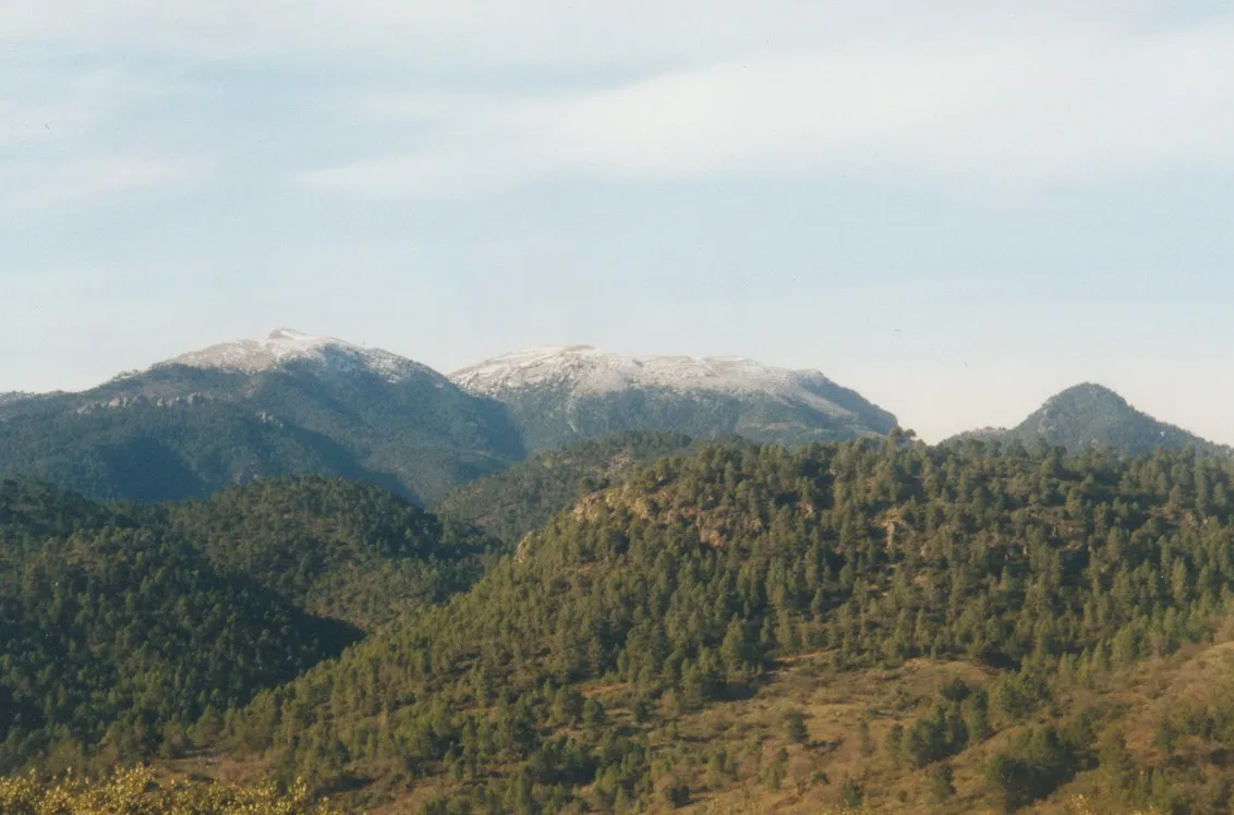 La Sarga Mountain, Villaverde de Guadalimar23 km N
-
Calar del Mundo Mountain, Yeste16 km N
Sources & licences
Data last updated: