- Elevation
- 615 m
- above sea level
- Local time
- UTC+01:00
- Europe/Madrid · UTC+01:00
- Airports
- VGO Vigo Airport71 km
- VRL Vila Real Airport87 km
About Río Grande
Río Grande is a river. Location: Vilar de Santos, Ourense. The best months to visit are June–September. The nearest airport is Vigo Airport (71 km). Nearby sights include Rego Lameiras and Río Vidueiro.
Climate of Río Grande
Best months for sightseeingBest months for sightseeing: June–September.
This month · November
A wet month
Day 13° · Night 5° · Rain 199 mm
- Hottest month
- August (day 27°)
- Coldest month
- January (night 2°)
- Wettest month
- December (228 mm)
- Driest month
- July (31 mm)
Bars: average monthly low and high temperature. Below: precipitation. Monthly averages for 1970–2000 at about 18 km resolution, adjusted for elevation. Highlighted months are mild and relatively dry. Source: WorldClim 2.1 (CC BY 4.0).
Show values as a table
| Month | Jan | Feb | Mar | Apr | May | Jun | Jul | Aug | Sep | Oct | Nov | Dec |
|---|---|---|---|---|---|---|---|---|---|---|---|---|
| Average high (°C) | 9° | 11° | 14° | 15° | 18° | 23° | 26° | 27° | 24° | 18° | 13° | 10° |
| Average low (°C) | 2° | 2° | 4° | 5° | 8° | 11° | 13° | 13° | 11° | 8° | 5° | 3° |
| Precipitation (mm) | 214 | 186 | 148 | 133 | 126 | 67 | 31 | 38 | 92 | 169 | 199 | 228 |
Other places to visit in this season: June July August September
How to get to Río Grande
The nearest airport is Vigo Airport (VGO), 71 km to the west as the crow flies. The nearest large city is Ourense, 32 km to the north.
Airports
- Vigo Airport (VGO) Vigo 71 kmwest
- Vila Real Airport (VRL) Vila Real 87 kmsouth
- Bragança Airport (BGC) Bragança 93 kmeast
Nearby large cities
- Ourense Population: 105.2K 32 kmnorth
- Braga Population: 193.3K 76 kmsouthwest
- Vigo Population: 293.6K 79 kmwest
- Porto Population: 252.7K 121 kmsouthwest
- A Coruña Population: 250.4K 155 kmnorth
Straight-line distances; road distances are longer. Airport data: OurAirports.
Day trips from Río Grande
Within 100 km: 155 historic and cultural sites, 241 natural sites, 359 lakes, rivers and coasts.
0–25 km58 places
- Sierra de Larouca Mountain 19 kmSE
- Monteagudo Mountain 19 kmS
- Monte Vindeira Mountain 20 kmN
- Sierra de Villanueva Mountain 19 kmNW
25–60 km215 places
- Serra do Invernadoiro Mountain 40 kmE
- Alto da Viuveza Mountain 30 kmN
- Monte Uzal Mountain 38 kmE
- Alto de Tilleira Mountain 48 kmNW
60–100 km482 places
- A Illa da Toxa Island 99 kmNW
- Islas Cíes Island 93 kmW
- Serra da Garraia Mountain 76 kmSE
- Playa de San Martín Beach 93 kmW
Straight-line distances.
Nearest towns and villages
-
Vilar de Santos Village, Vilar de Santos3.8 km N
-
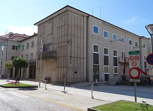 Xinzo de Limia Town, Xinzo de Limia6 km E
-
 Rairiz de Veiga Municipality, Ourense5.2 km NW
-
Rairiz de Veiga Village, Rairiz de Veiga4.7 km NW
-
Parada de Outeiro Village, Vilar de Santos5.7 km N
-
 Porqueira Municipality, Ourense6.3 km SW
Nearby attractions & nature
Everything nearby-
Rego Lameiras River, Vilar de Santos1.6 km N
-
Río Vidueiro River, Porqueira2.5 km W
-
Rego da Ribeira River, Xinzo de Limia2.9 km NE
-
Rego Arnos River, Xinzo de Limia4.1 km E
-
Río Mestas River, Porqueira4.2 km W
-
Penedo de Raseira Mountain, Bande8.9 km W
-
Monte Calvo Mountain, Rairiz de Veiga9.5 km NW
-
Loma Morta Mountain, Bande10 km W
Sources & licences
Data last updated: