- Elevation
- 423 m
- above sea level
- Local time
- UTC+01:00
- Europe/Madrid · UTC+01:00
- Airports
- VGO Vigo Airport16 km
- SCQ Santiago-Rosalía de Castro Airport65 km
About Traspielas
Traspielas is a village. Location: Fornelos de Montes, Pontevedra. Elevation: 423 m. The best months to visit are June–September. The nearest airport is Vigo Airport (16 km). Nearby sights include Río Barragán and Río Parada.
Climate of Traspielas
Best months for sightseeingBest months for sightseeing: June–September.
This month · November
A wet month
Day 14° · Night 7° · Rain 187 mm
- Hottest month
- July (day 25°)
- Coldest month
- January (night 4°)
- Wettest month
- December (228 mm)
- Driest month
- July (32 mm)
Bars: average monthly low and high temperature. Below: precipitation. Monthly averages for 1970–2000 at about 18 km resolution, adjusted for elevation. Highlighted months are mild and relatively dry. Source: WorldClim 2.1 (CC BY 4.0).
Show values as a table
| Month | Jan | Feb | Mar | Apr | May | Jun | Jul | Aug | Sep | Oct | Nov | Dec |
|---|---|---|---|---|---|---|---|---|---|---|---|---|
| Average high (°C) | 10° | 12° | 14° | 16° | 18° | 22° | 25° | 25° | 22° | 18° | 14° | 11° |
| Average low (°C) | 4° | 4° | 6° | 7° | 9° | 12° | 14° | 14° | 13° | 10° | 7° | 5° |
| Precipitation (mm) | 205 | 194 | 163 | 124 | 121 | 69 | 32 | 40 | 92 | 164 | 187 | 228 |
Other places to visit in this season: June July August September
How to get to Traspielas
The nearest airport is Vigo Airport (VGO), 16 km to the southwest as the crow flies. For international flights: Santiago-Rosalía de Castro Airport (SCQ) (65 km). The nearest large city is Vigo, 23 km to the southwest.
Airports
- Vigo Airport (VGO) Vigo 16 kmsouthwest
- Santiago-Rosalía de Castro Airport (SCQ) Santiago de Compostela 65 kmnorth
- A Coruña Airport (LCG) Culleredo 110 kmnorth
Nearby large cities
- Vigo Population: 293.6K 23 kmsouthwest
- Ourense Population: 105.2K 50 kmeast
- Braga Population: 193.3K 84 kmsouth
- A Coruña Population: 250.4K 118 kmnorth
- Porto Population: 252.7K 130 kmsouth
Straight-line distances; road distances are longer. Airport data: OurAirports.
Day trips from Traspielas
Within 100 km: 177 historic and cultural sites, 212 natural sites, 407 lakes, rivers and coasts.
0–25 km116 places
- Praia Areíño Beach 20 kmW
- Praia de Cabanas Beach 16 kmW
- Playa de Tirán Beach 24 kmW
- Praia da Cetárea Beach 25 kmW
25–60 km426 places
- Illa de Arousa Island 42 kmNW
- Illa de Ons Island 39 kmW
- A Illa da Toxa Island 37 kmNW
- Islas Cíes Island 38 kmW
60–100 km254 places
- Isla Quiebra Island 66 kmNW
- Lobeira pequena Island 84 kmNW
- Embalse de Belesar Lake 72 kmNE
- Sierra de Larouca Mountain 80 kmSE
Straight-line distances.
Nearby attractions & nature
Everything nearby-
Río Barragán River, Ponte Caldelas2.7 km NW
-
Río Parada River, Ponte Caldelas4.8 km N
-
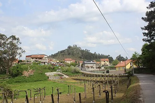 A Peneda Mountain, Soutomaior10 km W
-
Río Pequeno River, Soutomaior5.8 km NW
-
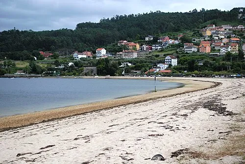 Praia de Cesantes Beach, Redondela12 km W
-
Río Borbén River, Ponteareas6.7 km SW
Sources & licences
Data last updated: