- Population
- 29,477
- 29.5K
- Elevation
- 696 m
- above sea level
- Local time
- UTC+01:00
- Europe/Madrid · UTC+01:00
- Airports
- MAD Adolfo Suárez Madrid–Barajas Airport12 km
- SLM Salamanca Airport165 km
About Goya
Goya is a neighbourhood. Location: Madrid, Madrid. Population: 29,477.
Goya is an administrative neighborhood (barrio) of Madrid belonging to the district of Salamanca. It has an area of 0.771228 km2 (0.297773 sq mi). As of 1 March 2020, it has a population of 30,010. The WiZink Center is located in the neighborhood.
Source: Wikipedia · CC BY-SA 4.0
At a glance
- Area
- 77 ha
Source: Wikidata
Photos of Goya
-
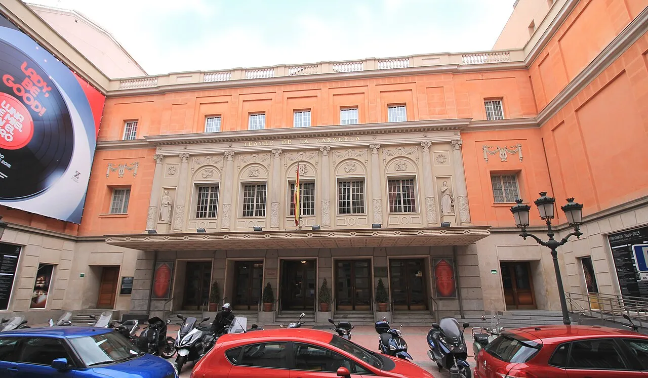
Teatro de la Zarzuela Luis García · CC BY-SA 3.0 es -
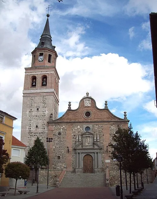
Church of San Pedro Ad-vincula Luis García · CC BY-SA 3.0 -
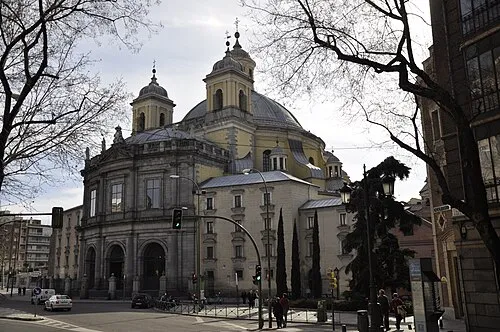
San Francisco el Grande Basilica Paul Hermans · CC BY-SA 3.0 -
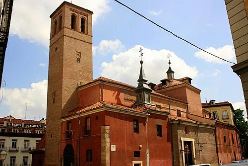
San Pedro el Real Enriqueluis · CC BY-SA 2.0 -
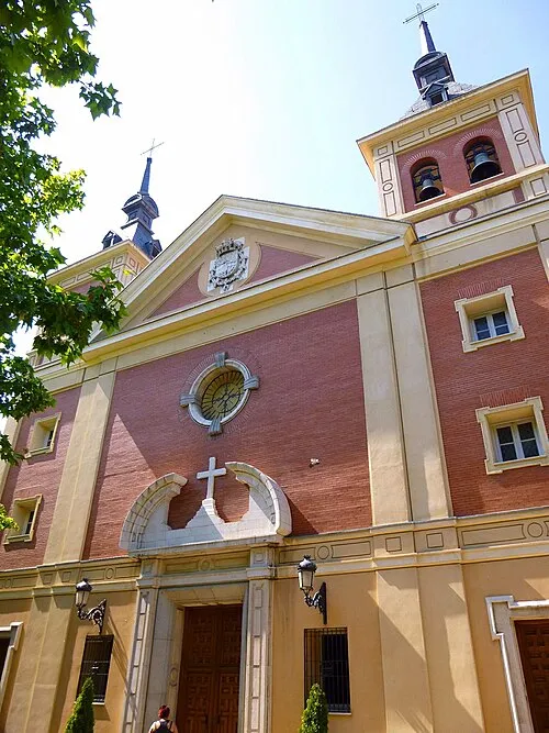
Royal Basilica of Our Lady of Atocha Zarateman · CC0


Places bordering Goya
- Fuente del Berro
- Lista
- Recoletos
- Ibiza
Climate of Goya
Best months for sightseeingBest months for sightseeing: May–June, September–October.
This month · November
Outside the best season
Day 14° · Night 5° · Rain 51 mm
Better nearby cities in November
- Murcia · 349 km southeast20°
- Orihuela · 351 km southeast20°
- Elche · 351 km southeast20°
- Hottest month
- July (day 32°)
- Coldest month
- January (night 1°)
- Wettest month
- November (51 mm)
- Driest month
- August (11 mm)
Bars: average monthly low and high temperature. Below: precipitation. Monthly averages for 1970–2000 at about 18 km resolution, adjusted for elevation. Highlighted months are mild and relatively dry. Source: WorldClim 2.1 (CC BY 4.0).
Show values as a table
| Month | Jan | Feb | Mar | Apr | May | Jun | Jul | Aug | Sep | Oct | Nov | Dec |
|---|---|---|---|---|---|---|---|---|---|---|---|---|
| Average high (°C) | 10° | 12° | 16° | 17° | 22° | 27° | 32° | 31° | 27° | 20° | 14° | 10° |
| Average low (°C) | 1° | 3° | 4° | 6° | 10° | 14° | 17° | 17° | 14° | 9° | 5° | 3° |
| Precipitation (mm) | 38 | 32 | 24 | 42 | 48 | 25 | 14 | 11 | 26 | 44 | 51 | 50 |
Other places to visit in this season: May June September October
How to get to Goya
The nearest airport is Adolfo Suárez Madrid–Barajas Airport (MAD), 12 km to the northeast as the crow flies. The nearest large city is Madrid, 3 km to the west.
Airports
- Adolfo Suárez Madrid–Barajas Airport (MAD) Madrid 12 kmnortheast
- Salamanca Airport (SLM) Salamanca 165 kmwest
- Valladolid Airport (VLL) Valladolid 173 kmnorthwest
Nearby large cities
- Madrid Population: 3.3M 3 kmwest
- Ciudad Lineal Population: 228.2K 3 kmnortheast
- Chamartin Population: 140K 4 kmnorth
- Leganés Population: 188.4K 13 kmsouthwest
- Alcobendas Population: 116K 14 kmnorth
Straight-line distances; road distances are longer. Airport data: OurAirports.
Day trips from Goya
Within 100 km: 492 historic and cultural sites, 275 natural sites, 352 lakes, rivers and coasts.
0–25 km427 places
- Cerro de los Ángeles Mountain 13 kmS
- Cerro de Almodóvar Mountain 8 kmSE
- Cerro del Castillo Mountain 14 kmNE
- Cerro de las Lámparas Mountain 15 kmNE
25–60 km328 places
- Embalse de Santillana Lake 36 kmN
- Pantano de San Juan Lake 57 kmW
- Pantano de San Juan Lake 55 kmW
- Pontón de la Oliva Lake 55 kmN
60–100 km364 places
- San Millán Attraction 69 kmNW
- Laguna Larga Lake 96 kmS
- La Laguna Lake 86 kmS
- Laguna de Taeña Lake 87 kmW
Straight-line distances.
Nearby attractions & nature
Everything nearby-
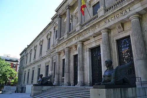 National Archaeological Museum Museum, Salamanca1.3 km W
-
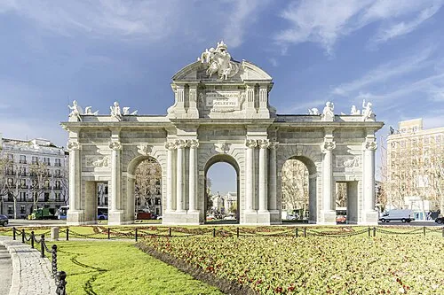 Puerta de Alcalá Landmark, Salamanca1.3 km SW
-
Palacio de los Deportes de la Comunidad de Madrid Landmark, Salamanca0.2 km SE
-
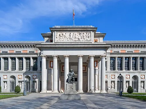 Museo del Prado Museum, Retiro2 km SW
-
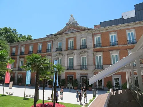 Thyssen-Bornemisza Museum Museum, Centro2 km SW
-
Parque de Fuente del Berro Natural site, Madrid1.1 km E
Sources & licences
Data last updated: · 2 independent sources