- Elevation
- 211 m
- above sea level
- Local time
- UTC+01:00
- Europe/Madrid · UTC+01:00
- Airports
- OVD Asturias Airport78 km
- LEN León Airport101 km
About Villa
Villa is a village. Location: Cangas de Onís, Asturias. Elevation: 211 m. The best months to visit are June–September. The nearest airport is Asturias Airport (78 km). Nearby sights include Río Zardón and Iglesia de Santa Cruz.
Climate of Villa
Best months for sightseeingBest months for sightseeing: June–September.
This month · November
Outside the best season
Day 14° · Night 7° · Rain 96 mm
- Hottest month
- August (day 23°)
- Coldest month
- January (night 3°)
- Wettest month
- November (96 mm)
- Driest month
- July (46 mm)
Bars: average monthly low and high temperature. Below: precipitation. Monthly averages for 1970–2000 at about 18 km resolution, adjusted for elevation. Highlighted months are mild and relatively dry. Source: WorldClim 2.1 (CC BY 4.0).
Show values as a table
| Month | Jan | Feb | Mar | Apr | May | Jun | Jul | Aug | Sep | Oct | Nov | Dec |
|---|---|---|---|---|---|---|---|---|---|---|---|---|
| Average high (°C) | 11° | 12° | 15° | 16° | 18° | 21° | 23° | 23° | 22° | 18° | 14° | 12° |
| Average low (°C) | 3° | 4° | 6° | 7° | 10° | 13° | 15° | 15° | 13° | 10° | 7° | 5° |
| Precipitation (mm) | 84 | 77 | 66 | 88 | 80 | 48 | 46 | 48 | 57 | 91 | 96 | 91 |
Other places to visit in this season: June July August September
How to get to Villa
The nearest airport is Asturias Airport (OVD), 78 km to the west as the crow flies. The nearest large city is Gijón, 48 km to the west.
Airports
- Asturias Airport (OVD) Ranón 78 kmwest
- León Airport (LEN) La Virgen del Camino 101 kmsouthwest
- Seve Ballesteros-Santander Airport (SDR) Santander 103 kmeast
Nearby large cities
- Gijón Population: 271.8K 48 kmwest
- Oviedo Population: 220K 61 kmwest
- León Population: 124.8K 97 kmsouthwest
- Santander Population: 173.6K 104 kmeast
- Burgos Population: 176.4K 164 kmsoutheast
Straight-line distances; road distances are longer. Airport data: OurAirports.
Day trips from Villa
Within 100 km: 152 historic and cultural sites, 159 natural sites, 151 lakes, rivers and coasts.
0–25 km45 places
- Playa de San Antonio del Mar Beach 15 kmNE
- Playa de San Antolín Beach 19 kmE
- Playa de Gulpiyuri Beach 17 kmE
- Playa de Cuevas del Mar Beach 14 kmNE
25–60 km180 places
- Playa de Pechón Beach 48 kmE
- Playa de la Ñora Beach 44 kmW
- Playa Cervigón Beach 47 kmW
- Playa de San Lorenzo Beach 48 kmW
60–100 km237 places
- Playa de la Rabia Beach 62 kmE
- Playón de Bayas Beach 79 kmW
- Playa de Comillas Beach 65 kmE
- Playa de Aguilar Beach 85 kmW
Straight-line distances.
Nearby attractions & nature
Everything nearby-
Río Zardón River, Parres Municipality1.9 km SE
-
Iglesia de Santa Cruz Attraction, Cangas de Onís6.2 km SW
-
Centro de Arte Rupestre de Tito Bustillo Museum, Ribadesella Municipality6.7 km N
-
Río Sella River, Ribadesella Municipality6.8 km N
-
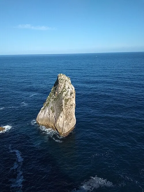 Islote Palo Verde Island, Ribadesella Municipality9.2 km NE
-
Río Piloña River, Parres Municipality7.6 km W
Sources & licences
Data last updated: