- Local time
- UTC+01:00
- Europe/Madrid · UTC+01:00
- Elevation
- 70 m
- above sea level
- Airports
- ALC Alicante-Elche Miguel Hernández Airport10 km
- RMU Region of Murcia International Airport83 km
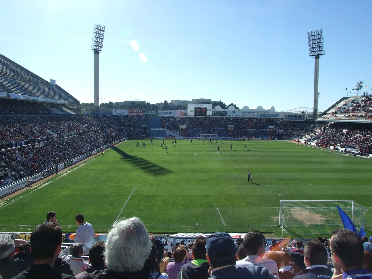
About Estadio José Rico Pérez
Estadio José Rico Pérez is a landmark. Location: Alicante, Alicante.
Estadio José Rico Pérez is a multi-purpose stadium in Alicante, Spain. It is currently used mostly for football matches, being home to Hércules CF. It also hosted World Cup matches when Spain organized the event in 1982. With a capacity of 24,704 seats, it is the 25th-largest stadium in Spain and the 4th-largest in the Valencian Community. It was built in 1974, and is situated 2 miles outside Alicante city centre. The stadium is named after the former chairman of Hércules CF, José Rico Pérez (1918–2010).
Source: Wikipedia · CC BY-SA 4.0
At a glance
- Built
- 1974
- Opened
- 1974
Source: Wikidata
Photos of Estadio José Rico Pérez
-

Varondán · CC BY-SA 4.0 -
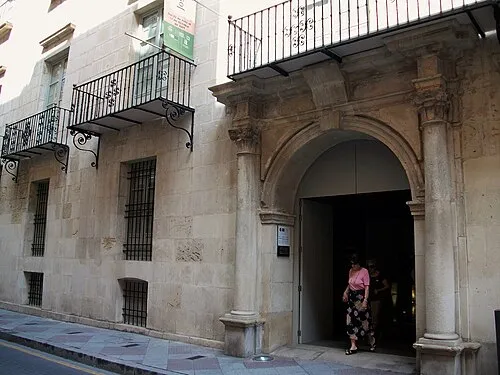
Gravina Museum of Fine Arts Joanbanjo · CC BY-SA 3.0 -

Varondán · CC BY-SA 4.0


Climate of Estadio José Rico Pérez
Best months for sightseeingBest months for sightseeing: March–May, October–November.
This month · November
A good month to visit
Day 20° · Night 9° · Rain 39 mm
- Hottest month
- August (day 32°)
- Coldest month
- January (night 5°)
- Wettest month
- October (53 mm)
- Driest month
- July (6 mm)
Bars: average monthly low and high temperature. Below: precipitation. Monthly averages for 1970–2000 at about 18 km resolution, adjusted for elevation. Highlighted months are mild and relatively dry. Source: WorldClim 2.1 (CC BY 4.0).
Show values as a table
| Month | Jan | Feb | Mar | Apr | May | Jun | Jul | Aug | Sep | Oct | Nov | Dec |
|---|---|---|---|---|---|---|---|---|---|---|---|---|
| Average high (°C) | 16° | 18° | 20° | 22° | 25° | 29° | 32° | 32° | 29° | 25° | 20° | 17° |
| Average low (°C) | 5° | 6° | 8° | 9° | 13° | 17° | 19° | 20° | 17° | 13° | 9° | 6° |
| Precipitation (mm) | 22 | 25 | 26 | 31 | 33 | 18 | 6 | 8 | 37 | 53 | 39 | 29 |
Other places to visit in this season: March April May October November
How to get to Estadio José Rico Pérez
The nearest airport is Alicante-Elche Miguel Hernández Airport (ALC), 10 km to the southwest as the crow flies. The nearest large city is Alicante, 2 km to the southeast.
Airports
- Alicante-Elche Miguel Hernández Airport (ALC) Alicante 10 kmsouthwest
- Region of Murcia International Airport (RMU) Corvera 83 kmsouthwest
- Valencia Airport (VLC) Valencia 126 kmnorth
Nearby large cities
- Alicante Population: 348.9K 2 kmsoutheast
- Elche Population: 234.8K 21 kmsouthwest
- Orihuela Population: 101.3K 50 kmsouthwest
- Murcia Population: 472K 69 kmsouthwest
- Cartagena Population: 213.9K 94 kmsouthwest
Straight-line distances; road distances are longer. Airport data: OurAirports.
Day trips from Estadio José Rico Pérez
Within 100 km: 426 historic and cultural sites, 252 natural sites, 205 lakes, rivers and coasts.
0–25 km126 places
- Museo de La Asegurada Museum 2 kmSE
- MUBAG Museum 2 kmSE
- MARQ - Museo Arqueológico Museum 1 kmE
- Playa del Postiguet Beach 2 kmSE
25–60 km299 places
- Playa del Cura Beach 46 kmS
- Platja d'Altea Beach 47 kmNE
- Platja de l'Albir Beach 45 kmNE
- Playa del Acequión Beach 47 kmSW
60–100 km458 places
- Playa de las Mulas Beach 88 kmS
- Playa Larga Beach 87 kmS
- Playa de la Hita Beach 71 kmSW
- Playa Nort de Gandía Beach 78 kmN
Straight-line distances.
Nearby attractions & nature
Everything nearby-
Vida y Color Attraction, Alicante0.3 km NE
-
Estadio Municipal de Atletismo Landmark, Alicante0.3 km SW
-
Gravina Museum of Fine Arts Museum, Alicante1.8 km SE
-
Auditorio de la Diputación de Alicante Attraction, Alicante0.7 km SE
-
Castillo de San Fernando Historic site, Alicante0.7 km S
-
Plaza de Toros de Alicante Attraction, Alicante0.9 km SE
-
Salesianos María Auxiliadora Alicante Attraction, Alicante1.2 km S
-
Teatro Principal de Alicante Attraction, Alicante1.4 km SE
Nearest towns and villages
-
Alicante City, Alicante1.7 km SE
-
San Vicent del Raspeig Town, Alicante5.2 km NW
-
Ciudad Jardín Village, Alicante1.7 km N
-
Barrio Benalúa Neighbourhood, Alicante1.9 km S
Sources & licences
Data last updated: · 2 independent sources