- Local time
- UTC+01:00
- Europe/Stockholm · UTC+01:00
- Elevation
- 45 m
- above sea level
- Airports
- VBY Visby Airport25 km
- NYO Stockholm Skavsta Airport158 km
About Othems kyrka
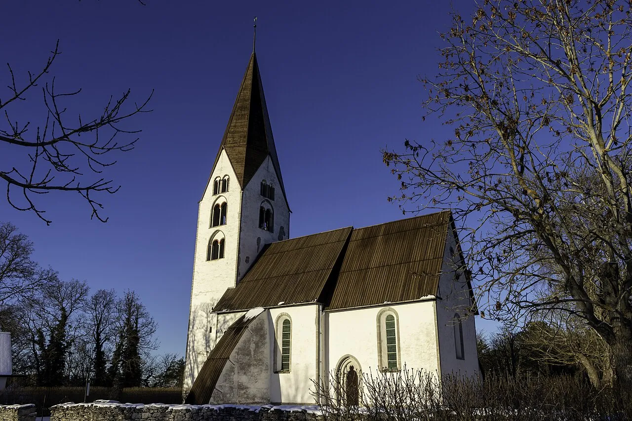
Othems kyrka is a tourist attraction. Location: Othem socken, Othem-Boge.
Othem Church (Swedish: Othems kyrka) is a medieval church in Othem on Gotland, Sweden. It was built in the 13th century and contains several medieval murals.
Source: Wikipedia · CC BY-SA 4.0
At a glance
- Heritage designation
- ecclesiastical listed building complex
- Official website
- svenskakyrkan.se
Source: Wikidata
Photos of Othems kyrka
-

Bene Riobó · CC BY-SA 4.0 -

Bene Riobó · CC BY-SA 4.0 -

Per Enström , a friend of en:User:Plrk · CC BY-SA 3.0 -

Håkan Svensson · CC BY 2.5 -

Karl Brodowsky · CC BY-SA 3.0


Climate of Othems kyrka
Best months for sightseeingBest months for sightseeing: June–August.
This month · November
A cold month
Day 5° · Night 1° · Rain 63 mm
- Hottest month
- July (day 20°)
- Coldest month
- February (night -4°)
- Wettest month
- July (63 mm)
- Driest month
- May (29 mm)
Bars: average monthly low and high temperature. Below: precipitation. Monthly averages for 1970–2000 at about 18 km resolution, adjusted for elevation. Highlighted months are mild and relatively dry. Source: WorldClim 2.1 (CC BY 4.0).
Show values as a table
| Month | Jan | Feb | Mar | Apr | May | Jun | Jul | Aug | Sep | Oct | Nov | Dec |
|---|---|---|---|---|---|---|---|---|---|---|---|---|
| Average high (°C) | 1° | 1° | 3° | 8° | 13° | 18° | 20° | 20° | 15° | 11° | 5° | 2° |
| Average low (°C) | -3° | -4° | -2° | 0° | 5° | 9° | 12° | 12° | 9° | 5° | 1° | -2° |
| Precipitation (mm) | 53 | 37 | 41 | 34 | 29 | 38 | 63 | 55 | 60 | 58 | 63 | 60 |
How to get to Othems kyrka
The nearest airport is Visby Airport (VBY), 25 km to the west as the crow flies. The nearest large city is Stockholm, 180 km to the north.
Airports
- Visby Airport (VBY) Visby 25 kmwest
- Stockholm Skavsta Airport (NYO) Nyköping 158 kmnorthwest
- Norrköping Airport (NRK) Norrköping 174 kmnorthwest
Nearby large cities
- Stockholm Population: 1.5M 180 kmnorth
- Sollentuna Population: 139.6K 193 kmnorth
- Västerås Population: 127.8K 244 kmnorthwest
- Örebro Population: 156K 267 kmnorthwest
- Klaipėda Population: 172.3K 271 kmsoutheast
Straight-line distances; road distances are longer. Airport data: OurAirports.
Day trips from Othems kyrka
Within 100 km: 2 historic and cultural sites, 5 natural sites, 10 lakes, rivers and coasts.
0–25 km6 places
- Kyrkebingegrunn Island 22 kmS
- Furilden Island 17 kmE
- Fjaugen Island 14 kmE
- Falholmen Island 23 kmNE
25–60 km4 places
- Gotland Island 30 kmS
- Marpesholm Island 29 kmNE
- Grasholmen Island 50 kmS
- Vårdkashöjden Mountain 44 kmSW
60–100 km7 places
- Killingholm Natural site 88 kmS
- Faludden Landmark 86 kmS
- Koggen Island 68 kmS
- Karlsöarna Island 66 kmSW
Straight-line distances.
Nearby attractions & nature
Everything nearby-
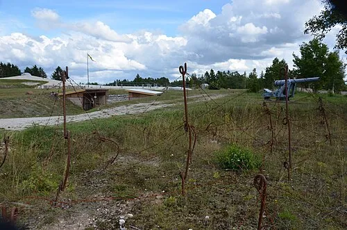 Tingstäde Fortress Historic site, Tingstäde socken7.1 km W
-
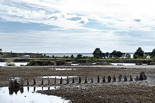 Bungenäs Natural site, Gotland County23 km NE
-
Furilden Island, Gotland County17 km E
-
Fjaugen Island, Gotland County14 km E
-
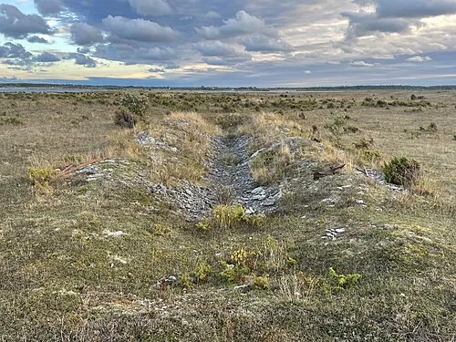 Falholmen Island, Fleringe socken23 km NE
-
Kyrkebingegrunn Island, Gotland County22 km S
Nearest towns and villages


Sources & licences
Data last updated: · 2 independent sources