Gråskär
Located in Trosa-Vagnhärad socken, Trosa-Vagnhärad Coordinates: 58°47′36″ N 17°40′00″ E
- Elevation
- 9 m
- above sea level
- Local time
- UTC+01:00
- Europe/Stockholm · UTC+01:00
- Airports
- NYO Stockholm Skavsta Airport44 km
- BMA Stockholm-Bromma Airport64 km
About Gråskär
Gråskär is an island. Location: Trosa-Vagnhärad socken, Trosa-Vagnhärad. The best months to visit are June–August. The nearest airport is Stockholm Skavsta Airport (44 km). Nearby sights include Kyrkogårdsskär and Askö.
Photos of Gråskär
-
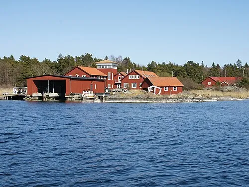
Askö Hans Hillewaert · CC BY-SA 3.0

Climate of Gråskär
Best months for sightseeingBest months for sightseeing: June–August.
This month · November
A cold month
Day 6° · Night 1° · Rain 56 mm
- Hottest month
- July (day 20°)
- Coldest month
- February (night -5°)
- Wettest month
- September (56 mm)
- Driest month
- February (26 mm)
Bars: average monthly low and high temperature. Below: precipitation. Monthly averages for 1970–2000 at about 18 km resolution, adjusted for elevation. Highlighted months are mild and relatively dry. Source: WorldClim 2.1 (CC BY 4.0).
Show values as a table
| Month | Jan | Feb | Mar | Apr | May | Jun | Jul | Aug | Sep | Oct | Nov | Dec |
|---|---|---|---|---|---|---|---|---|---|---|---|---|
| Average high (°C) | 1° | 1° | 3° | 7° | 13° | 18° | 20° | 20° | 15° | 10° | 6° | 3° |
| Average low (°C) | -4° | -5° | -2° | 0° | 4° | 9° | 13° | 13° | 9° | 5° | 1° | -2° |
| Precipitation (mm) | 38 | 26 | 30 | 32 | 27 | 42 | 52 | 47 | 56 | 49 | 56 | 50 |
How to get to Gråskär
The nearest airport is Stockholm Skavsta Airport (NYO), 44 km to the west as the crow flies. The nearest large city is Stockholm, 64 km to the north.
Airports
- Stockholm Skavsta Airport (NYO) Nyköping 44 kmwest
- Stockholm-Bromma Airport (BMA) Stockholm 64 kmnorth
- Norrköping Airport (NRK) Norrköping 85 kmwest
Nearby large cities
- Stockholm Population: 1.5M 64 kmnorth
- Sollentuna Population: 139.6K 73 kmnorth
- Västerås Population: 127.8K 112 kmnorthwest
- Örebro Population: 156K 151 kmwest
- Jönköping Population: 112.8K 235 kmsouthwest
Straight-line distances; road distances are longer. Airport data: OurAirports.
Day trips from Gråskär
Within 100 km: 38 historic and cultural sites, 64 natural sites, 809 lakes, rivers and coasts.
0–25 km79 places
- Ekskär Island 15 kmNE
- Norrskär Island 13 kmE
- Lilla Klubben Island 15 kmE
- Brännskär Island 12 kmE
25–60 km228 places
- Gubbholmen Island 36 kmNE
- Oxholmen Island 30 kmNE
- Högholmen Island 50 kmNE
- Björkö Island 49 kmNE
60–100 km604 places
- Rindö Island 80 kmNE
- Runmarö Island 83 kmNE
- Granskär Island 78 kmN
- Galtholmen Island 88 kmNE
Straight-line distances.
Nearest towns and villages
-
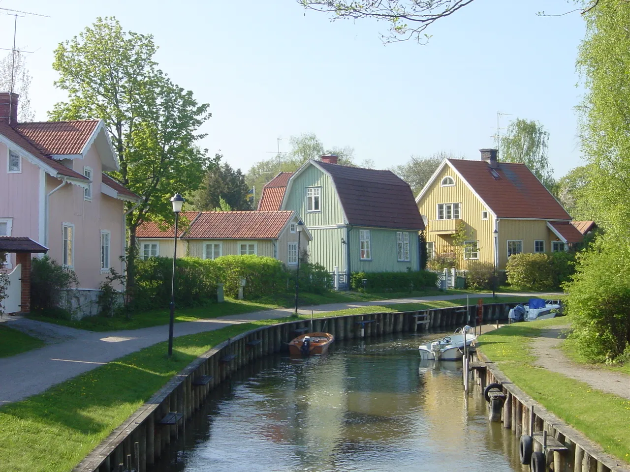 Trosa City, Trosa Municipality13 km NW
-
Västerljung Municipality, Trosa Municipality10 km W
-
Trosa stadsförs. Municipality, Trosa Municipality14 km NW
-
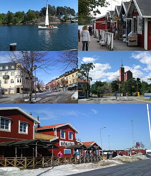 Nynäshamn City, Nynäshamn Municipality20 km NE
-
Västerljung socken Village, Västerljung10 km W
-
Torö socken Village, Ösmo-Torö10 km E
Nearby attractions & nature
Everything nearby-
Kyrkogårdsskär Natural site, Trosa-Vagnhärad socken0.9 km NE
-
Askö Island, Trosa Municipality2.8 km N
-
Persö Island, Södermanland County3.9 km W
-
Granklubben Island, Stockholm County4.9 km E
-
Oxnö Island, Stockholm County5.5 km N
-
Duvskär Island, Stockholm County5.5 km NE
-
Korpen Island, Södermanland County6.4 km N
-
Bockholmen Island, Södermanland County6.6 km NW
Sources & licences
Data last updated: · 2 independent sources