Fittja
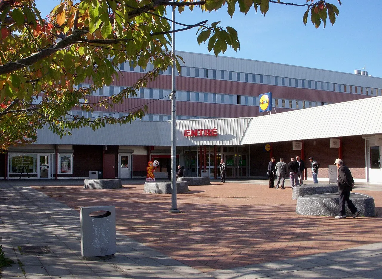
Located in Botkyrka Municipality, Stockholm County Coordinates: 59°14′55″ N 17°51′36″ E
- Population
- 7,500
- 7.5K
- Elevation
- 31 m
- above sea level
- Local time
- UTC+01:00
- Europe/Stockholm · UTC+01:00
About Fittja
Fittja is a town. Location: Botkyrka Municipality, Stockholm County. Population: 7,500. Elevation: 31 m.
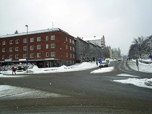
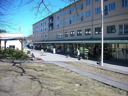
Fittja is a part of Botkyrka Municipality and the name of the Stockholm Metro station in the area. It was settled during the 1970s and consists mostly of rental apartments. As of 2008, there were 7,458 people living in Fittja; 64.7% of them were of non-Swedish origin, of whom 25.1% were non-Swedish citizens. Fittja Mosque is also located here. In 1990, 55.1% of Fittja was foreign born. 84% of Fittja had a foreign background in 1997, rising to 89.9% in 2008, and 92.4% in 2024.
Read more on Wikipedia Text: Wikipedia contributors · CC BY-SA 4.0 · shortened
In comparison
- No. 5 of 19 places in Botkyrka Municipality by population
- Nearest larger town: Alby, 2 km S
- 3 sights and natural places within 10 km Kungshatt, Edebyholme
Climate of Fittja
Best months for sightseeing: June–August.
| Month | Jan | Feb | Mar | Apr | May | Jun | Jul | Aug | Sep | Oct | Nov | Dec |
|---|---|---|---|---|---|---|---|---|---|---|---|---|
| Average high (°C) | 0° | 0° | 3° | 8° | 15° | 19° | 21° | 20° | 15° | 10° | 5° | 2° |
| Average low (°C) | -5° | -6° | -3° | 0° | 5° | 10° | 12° | 12° | 8° | 4° | 0° | -3° |
| Precipitation (mm) | 41 | 29 | 35 | 36 | 31 | 54 | 66 | 61 | 56 | 51 | 59 | 51 |
Monthly averages for 1970–2000 at about 18 km resolution, adjusted for elevation. Highlighted months are mild and relatively dry. Source: WorldClim 2.1 (CC BY 4.0).
Airports nearest to Fittja
- Stockholm-Bromma Airport (BMA) Stockholm 13 km
- Stockholm-Arlanda Airport (ARN) Stockholm 45 km
- Stockholm Skavsta Airport (NYO) Nyköping 75 km
Straight-line distance; airports with scheduled flights only. Source: OurAirports (public domain).
Nearby attractions & nature
Everything nearby-
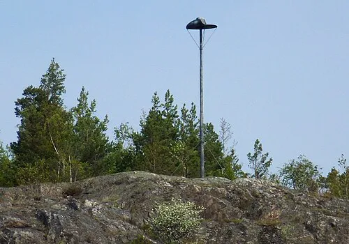 Kungshatt Island, Stockholm County5.9 km N
-
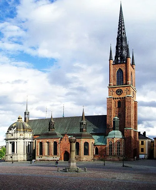 Riddarholm Church Attraction, Stockholm Municipality14 km NE
-
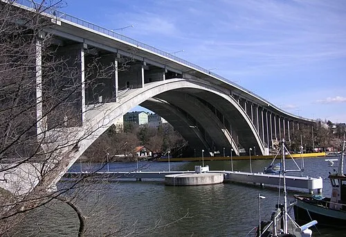 Tranebergsbron Landmark, Stockholm12 km NE
-
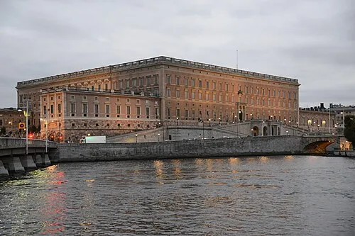 Stockholm Palace Historic site, Stockholm Municipality15 km NE
-
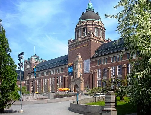 Swedish Museum of Natural History Museum, Stockholm Municipality17 km NE
-
 Lovön Island, Stockholm County9.6 km N
-
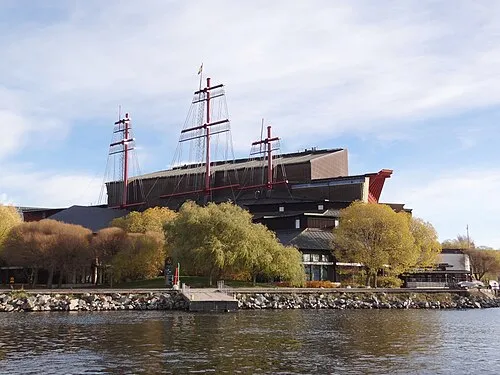 Vasa Museum Museum, Stockholm Municipality16 km NE
-
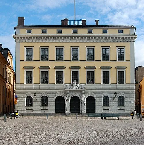 Tessin Palace Historic site, Stockholm Municipality15 km NE
Other cities and towns in Botkyrka Municipality
Sources & licences
Data last updated: · 2 independent sources