- Local time
- UTC+01:00
- Europe/Stockholm · UTC+01:00
- Airports
- UME Umeå Airport35 km
- SFT Skellefteå Airport91 km
About Stora Fjäderägg
Stora Fjäderägg is an island. Location: Holmön socken, Sävar-Holmön.
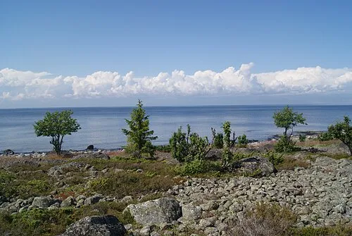
Holmöarna (Swedish, literally the islet islands) is an island group in the Kvarken narrows of the Gulf of Bothnia between Sweden and Finland. The islands form part of Umeå Municipality in Västerbotten County. The islands have 75 year-round inhabitants and the largest islands are Holmön, Ängesön, Grossgrunden, Holmögadd and Lilla and Stora Fjäderägg. Large areas of the islands have been set aside as nature reserves.
Source: Wikipedia · CC BY-SA 4.0
At a glance
- Length
- 1.8 km
Source: Wikidata
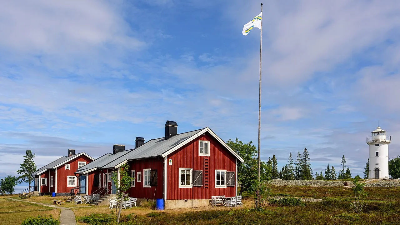
Photos of Stora Fjäderägg
-

United Kingdom Hydrographic Office · Public domain -

ArildV · CC BY-SA 4.0 -

Monkeproggs · CC BY-SA 4.0 -

Monkeproggs · CC BY-SA 4.0


Climate of Stora Fjäderägg
Best months for sightseeingBest months for sightseeing: July–August.
This month · November
A cold month
Day 3° · Night -1° · Rain 66 mm
- Hottest month
- July (day 18°)
- Coldest month
- February (night -6°)
- Wettest month
- November (66 mm)
- Driest month
- February (35 mm)
Bars: average monthly low and high temperature. Below: precipitation. Monthly averages for 1970–2000 at about 18 km resolution, adjusted for elevation. Highlighted months are mild and relatively dry. Source: WorldClim 2.1 (CC BY 4.0).
Show values as a table
| Month | Jan | Feb | Mar | Apr | May | Jun | Jul | Aug | Sep | Oct | Nov | Dec |
|---|---|---|---|---|---|---|---|---|---|---|---|---|
| Average high (°C) | 0° | -1° | 0° | 3° | 8° | 14° | 18° | 17° | 12° | 7° | 3° | 2° |
| Average low (°C) | -5° | -6° | -4° | -2° | 2° | 8° | 12° | 12° | 8° | 4° | -1° | -3° |
| Precipitation (mm) | 45 | 35 | 38 | 35 | 37 | 46 | 56 | 62 | 65 | 64 | 66 | 47 |
How to get to Stora Fjäderägg
The nearest airport is Umeå Airport (UME), 35 km to the west as the crow flies. The nearest large city is Umeå, 37 km to the west.
Airports
- Umeå Airport (UME) Umeå 35 kmwest
- Skellefteå Airport (SFT) Skellefteå 91 kmnorth
- Vaasa Airport (VAA) Vaasa 92 kmsoutheast
Nearby large cities
- Umeå Population: 130.2K 37 kmwest
Straight-line distances; road distances are longer. Airport data: OurAirports.
Day trips from Stora Fjäderägg
Within 100 km: 4 historic and cultural sites, 28 natural sites, 98 lakes, rivers and coasts.
0–25 km32 places
- Holmön Island 6 kmSW
- Diskgrundet Island 20 kmW
- Ostön Natural site 16 kmW
- Båkskäret Island 21 kmN
25–60 km40 places
- Lill-Getskär Island 38 kmN
- Granholmen Island 44 kmN
- Brännölandet Natural site 31 kmW
- Måkläppen Island 60 kmSW
60–100 km58 places
- Replot Island 65 kmS
- Jenskär Island 80 kmW
- Brännögrundet Island 83 kmW
- Granön Island 89 kmSW
Straight-line distances.
Nearest towns and villages


Nearby attractions & nature
Everything nearby-
Långögern Island, Västerbotten County2.4 km SW
-
Lill-Fjäderägg Island, Västerbotten County3.5 km W
-
Gåsflötan Island, Västerbotten County3.6 km SW
-
Långgrundet Natural site, Västerbotten County4.2 km SW
-
Holmön Island, Västerbotten County6.4 km SW
-
 Holmöarna Island, Västerbotten County13 km SW
-
Laxbådagrundet Island, Västerbotten County9.8 km SW
-
Ängesön Island, Västerbotten County11 km SW
Sources & licences
Data last updated: · 2 independent sources