Bengtsfors Municipality
Located in Västra Götaland County, Sweden Coordinates: 59°02′00″ N 12°13′00″ E
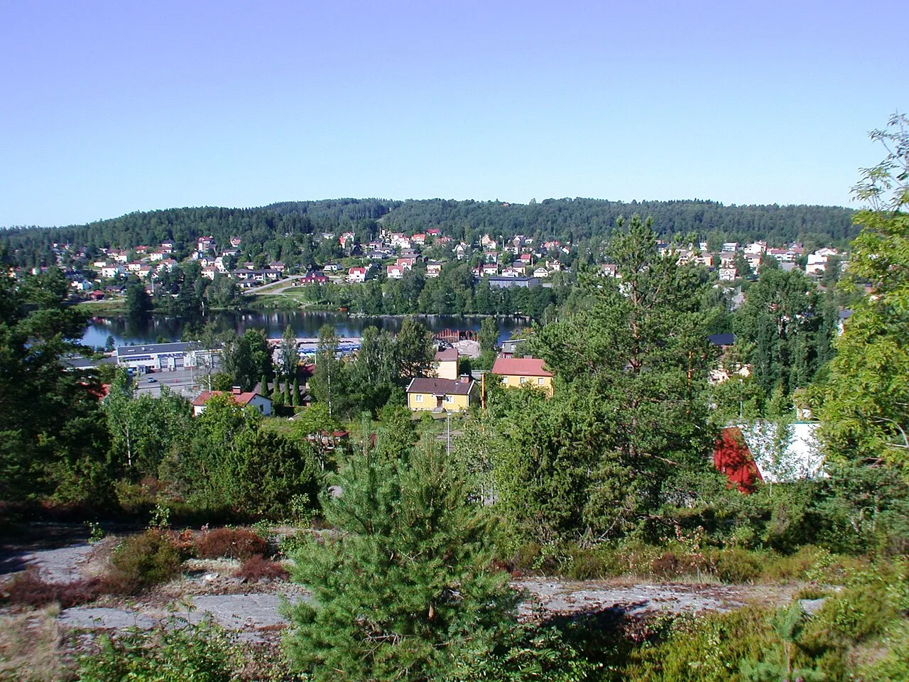
- Population
- 8,984
- 9K
- Elevation
- 95 m
- above sea level
- Local time
- UTC+01:00
- Europe/Stockholm · UTC+01:00
- Places inside
- 15
- listed under Bengtsfors Municipality
- Airports
- KSD Karlstad Airport79 km
- THN Trollhättan-Vänersborg Airport80 km
About Bengtsfors Municipality
Bengtsfors Municipality is a district. Location: Västra Götaland County, Sweden. Population: 8,984. The best months to visit are June–August. The nearest airport is Karlstad Airport (79 km). Nearby sights include Barön and Hinsknatten.
Climate of Bengtsfors Municipality
Best months for sightseeingBest months for sightseeing: June–August.
This month · November
A cold month
Day 5° · Night -1° · Rain 90 mm
- Hottest month
- July (day 21°)
- Coldest month
- February (night -7°)
- Wettest month
- October (95 mm)
- Driest month
- May (48 mm)
Bars: average monthly low and high temperature. Below: precipitation. Monthly averages for 1970–2000 at about 18 km resolution, adjusted for elevation. Highlighted months are mild and relatively dry. Source: WorldClim 2.1 (CC BY 4.0).
Show values as a table
| Month | Jan | Feb | Mar | Apr | May | Jun | Jul | Aug | Sep | Oct | Nov | Dec |
|---|---|---|---|---|---|---|---|---|---|---|---|---|
| Average high (°C) | 0° | 0° | 4° | 9° | 16° | 20° | 21° | 20° | 15° | 10° | 5° | 2° |
| Average low (°C) | -6° | -7° | -4° | 0° | 5° | 9° | 11° | 10° | 7° | 3° | -1° | -4° |
| Precipitation (mm) | 67 | 50 | 53 | 51 | 48 | 71 | 70 | 71 | 92 | 95 | 90 | 75 |
How to get to Bengtsfors Municipality
The nearest airport is Karlstad Airport (KSD), 79 km to the northeast as the crow flies. For international flights: Sandefjord Airport, Torp (TRF) (113 km). The nearest large city is Oslo, 129 km to the northwest.
Airports
- Karlstad Airport (KSD) Karlstad 79 kmnortheast
- Trollhättan-Vänersborg Airport (THN) Trollhättan 80 kmsouth
- Sandefjord Airport, Torp (TRF) Sandefjord(Torp) 113 kmwest
Nearby large cities
- Oslo Population: 1.1M 129 kmnorthwest
- Drammen Population: 106K 139 kmnorthwest
- Gothenburg Population: 608.5K 148 kmsouth
- Örebro Population: 156K 173 kmeast
- Jönköping Population: 112.8K 180 kmsoutheast
Straight-line distances; road distances are longer. Airport data: OurAirports.
Places in Bengtsfors Municipality
15 places- 1 Ärtemark 3.9K
- 2 Steneby 3.1K
- 3 Bengtsfors 3.1K
- 4 Dals Långed 1.4K
- 5 Billingsfors 1.1K
- 6 Laxarby 855
- 7 Bäcke 841
- 8 Bäckefors 709
- 9 Ödskölt 414
- 10 Torrskog 369
- 11 Skåpafors 323
- 12 Tisselskog 227
- 13 Vårvik 163
- 14 Dingelvik 67
- 15 Ekebol 67
Bar: population relative to the most populous place in this list.
Nature and heritage in Bengtsfors Municipality
Nearby attractions & nature
Everything nearby-
Barön Island, Västra Götaland County12 km SW
-
Hinsknatten Mountain, Åmål Municipality15 km E
-
Baljåsen Mountain, Edsleskog socken16 km E
-
Gölekullen Mountain, Edsleskog socken17 km E
-
Gummenäsön Island, Västra Götaland County22 km NW
-
Gaterudsfjällen Mountain, Säffle Municipality22 km NE
Sources & licences
Data last updated: