Olofstorp
Located in Gothenburg Municipality, Västra Götaland County Coordinates: 57°48′16″ N 12°10′17″ E

- Population
- 3,746
- 3.7K
- Elevation
- 72 m
- above sea level
- Local time
- UTC+01:00
- Europe/Stockholm · UTC+01:00
- Airports
- GOT Göteborg Landvetter Airport17 km
- THN Trollhättan-Vänersborg Airport58 km
About Olofstorp
Olofstorp is a village. Location: Gothenburg Municipality, Västra Götaland County. Population: 3,746. Elevation: 72 m.
Olofstorp is a locality situated in Gothenburg Municipality, Västra Götaland County, Sweden. It has 4,142 inhabitants (2020). There is an annual event held at the local farmyard, this event is called Bergumsdagen ("Bergum Day"). There is currently one school in Olofstorp: Bergumsskolan. Olofstorp has three restaurants, a kiosk, a 24-hour gym, and a flower shop. Lake Älsjön is located there and is a popular swimming site for inhabitants, there is a float with high diving boards
Source: Wikipedia · CC BY-SA 4.0
At a glance
- Area
- 3.4 km²
Source: Wikidata
Population of Olofstorp over time
| 2010 | 3,378 | |
|---|---|---|
| 2015 | 3,746 | |
| 2016 | 3,854 | |
| 2017 | 3,995 | |
| 2018 | 4,011 | |
| 2019 | 4,108 | |
| 2020 | 4,146 | |
| 2023 | 4,169 |
Censuses and official estimates; source: Wikidata.
Climate of Olofstorp
Best months for sightseeingBest months for sightseeing: June–August.
This month · November
A cold month
Day 6° · Night 1° · Rain 91 mm
- Hottest month
- July (day 20°)
- Coldest month
- February (night -4°)
- Wettest month
- September (92 mm)
- Driest month
- April (49 mm)
Bars: average monthly low and high temperature. Below: precipitation. Monthly averages for 1970–2000 at about 18 km resolution, adjusted for elevation. Highlighted months are mild and relatively dry. Source: WorldClim 2.1 (CC BY 4.0).
Show values as a table
| Month | Jan | Feb | Mar | Apr | May | Jun | Jul | Aug | Sep | Oct | Nov | Dec |
|---|---|---|---|---|---|---|---|---|---|---|---|---|
| Average high (°C) | 1° | 1° | 4° | 9° | 15° | 19° | 20° | 20° | 15° | 11° | 6° | 3° |
| Average low (°C) | -4° | -4° | -2° | 1° | 6° | 10° | 12° | 11° | 8° | 5° | 1° | -2° |
| Precipitation (mm) | 77 | 55 | 57 | 49 | 53 | 72 | 75 | 81 | 92 | 89 | 91 | 90 |
How to get to Olofstorp
The nearest airport is Göteborg Landvetter Airport (GOT), 17 km to the south as the crow flies. The nearest large city is Gothenburg, 16 km to the southwest.
Airports
- Göteborg Landvetter Airport (GOT) Göteborg 17 kmsouth
- Trollhättan-Vänersborg Airport (THN) Trollhättan 58 kmnorth
- Jönköping Airport (JKG) Jönköping 113 kmeast
Nearby large cities
- Gothenburg Population: 608.5K 16 kmsouthwest
- Jönköping Population: 112.8K 118 kmeast
- Aalborg Population: 142.9K 159 kmsouthwest
- Helsingborg Population: 104.2K 198 kmsouth
- Aarhus Population: 285.3K 219 kmsouthwest
Straight-line distances; road distances are longer. Airport data: OurAirports.
Day trips from Olofstorp
Within 100 km: 10 historic and cultural sites, 69 natural sites, 382 lakes, rivers and coasts.
0–25 km17 places
- Hisingen Island 18 kmW
- Hisingen Natural site 19 kmW
- Munkholmen Island 14 kmW
- Lilla Hästholmen Island 24 kmW
25–60 km294 places
- Orust Island 51 kmNW
- Bockön Island 44 kmS
- Kråkholmen Island 42 kmS
- Keholmen Island 38 kmS
60–100 km150 places
- Skaftölandet Island 64 kmNW
- Grötö Island 65 kmNW
- Lindholmen Island 65 kmNW
- Langerøn Natural site 93 kmSW
Straight-line distances.
Nearby attractions & nature
Everything nearby-
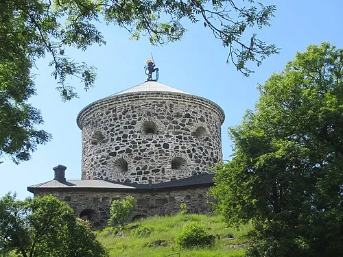 Lion Sconce Historic site, Gothenburg15 km SW
-
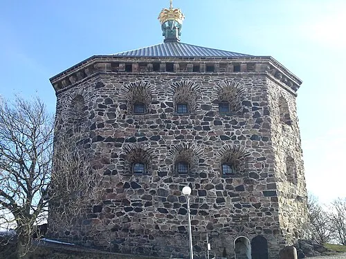 Crown Redoubt Historic site, Gothenburg18 km SW
-
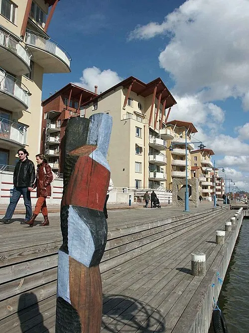 Hisingen Island, Västra Götaland County18 km W
-
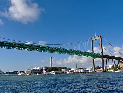 Älvsborg Bridge Landmark, Gothenburg20 km SW
-
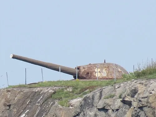 Oscar II Fort Historic site, Gothenburg Municipality24 km SW
-
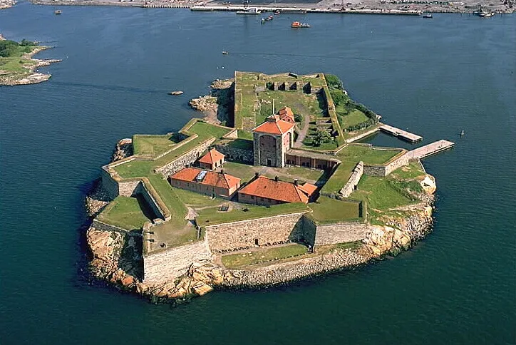 New Elfsborg Fortress Historic site, Gothenburg24 km SW
Other cities and towns in Gothenburg Municipality
-
Majorna Neighbourhood, Gothenburg Municipality20 km SW
-
Djupedal Village, Gothenburg Municipality13 km W
-
 Nolvik Village, Gothenburg Municipality20 km W
-
 Gunnesby Village, Gothenburg Municipality16 km W
-
Kvisljungeby Village, Gothenburg Municipality21 km W
-
Säve Village, Gothenburg Municipality15 km W
Sources & licences
Data last updated: · 2 independent sources