Emmental District
Located in Canton of Bern, Switzerland Coordinates: 47°02′39″ N 7°39′42″ E
- Population
- 97,666
- 97.7K
- Elevation
- 775 m
- above sea level
- Local time
- UTC+01:00
- Europe/Zurich · UTC+01:00
- Places inside
- 40
- listed under Emmental District
- Airports
- BRN Bern Airport19 km
- BSL EuroAirport Basel–Mulhouse–Freiburg63 km
About Emmental District
Emmental District is a district. Location: Canton of Bern, Switzerland. Population: 97,666. The best months to visit are June–August. The nearest airport is Bern Airport (19 km). Nearby sights include Schufelbüelegg and Bantiger.
Climate of Emmental District
Best months for sightseeingBest months for sightseeing: June–August.
This month · November
A cold month
Day 6° · Night -1° · Rain 91 mm
- Hottest month
- July (day 22°)
- Coldest month
- January (night -4°)
- Wettest month
- June (124 mm)
- Driest month
- January (68 mm)
Bars: average monthly low and high temperature. Below: precipitation. Monthly averages for 1970–2000 at about 18 km resolution, adjusted for elevation. Highlighted months are mild and relatively dry. Source: WorldClim 2.1 (CC BY 4.0).
Show values as a table
| Month | Jan | Feb | Mar | Apr | May | Jun | Jul | Aug | Sep | Oct | Nov | Dec |
|---|---|---|---|---|---|---|---|---|---|---|---|---|
| Average high (°C) | 2° | 4° | 8° | 12° | 16° | 19° | 22° | 22° | 18° | 12° | 6° | 3° |
| Average low (°C) | -4° | -4° | -1° | 1° | 6° | 9° | 11° | 11° | 8° | 4° | -1° | -3° |
| Precipitation (mm) | 68 | 69 | 69 | 86 | 110 | 124 | 110 | 107 | 89 | 87 | 91 | 79 |
How to get to Emmental District
The nearest airport is Bern Airport (BRN), 19 km to the southwest as the crow flies. For international flights: EuroAirport Basel–Mulhouse–Freiburg (BSL) (63 km). The nearest large city is Bern, 19 km to the southwest.
Airports
- Bern Airport (BRN) Bern 19 kmsouthwest
- EuroAirport Basel–Mulhouse–Freiburg (BSL) Bâle / Mulhouse 63 kmnorth
- Zürich Airport (ZRH) Zurich 81 kmnortheast
Nearby large cities
- Bern Population: 121.6K 19 kmsouthwest
- Basel Population: 177.6K 58 kmnorth
- Zurich Population: 415.4K 76 kmnortheast
- Mulhouse Population: 111.4K 83 kmnorth
- Winterthur Population: 111.8K 95 kmnortheast
Straight-line distances; road distances are longer. Airport data: OurAirports.
Places in Emmental District
40 places- 1 Burgdorf 16.6K
- 2 Langnau im Emmental 9.3K
- 3 Kirchberg (BE) 5.9K
- 4 Sumiswald 5K
- 5 Utzenstorf 4.4K
- 6 Lützelflüh 4.2K
- 7 Hasle bei Burgdorf 3.3K
- 8 Bätterkinden 3.2K
- 9 Rüegsau 3.2K
- 10 Oberburg 3K
- 11 Lauperswil 2.7K
- 12 Signau 2.6K
- 13 Hindelbank 2.6K
- 14 Eggiwil 2.5K
- 15 Rüdtligen-Alchenflüh 2.4K
- 16 Krauchthal 2.4K
- 17 Rüderswil 2.4K
- 18 Wynigen 2.1K
- 19 Koppigen 2.1K
- 20 Ersigen 2K
- 21 Heimiswil 1.6K
- 22 Trubschachen 1.5K
- 23 Lyssach 1.4K
- 24 Trub 1.3K
- 25 Röthenbach im Emmental 1.2K
- 26 Affoltern im Emmental 1.1K
- 27 Aefligen 1.1K
- 28 Dürrenroth 1K
- 29 Wiler bei Utzenstorf 985
- 30 Trachselwald 962
- 31 Schangnau 905
- 32 Alchenstorf 576
- 33 Kernenried 560
- 34 Zielebach 319
- 35 Höchstetten 270
- 36 Hellsau 211
- 37 Willadingen 204
- 38 Rüti bei Lyssach 167
- 39 Rumendingen 79
Bar: population relative to the most populous place in this list.
Mountains & nature1
- Chäpplerspitz · Mountain
Nature and heritage in Emmental District
Nearby attractions & nature
Everything nearby-
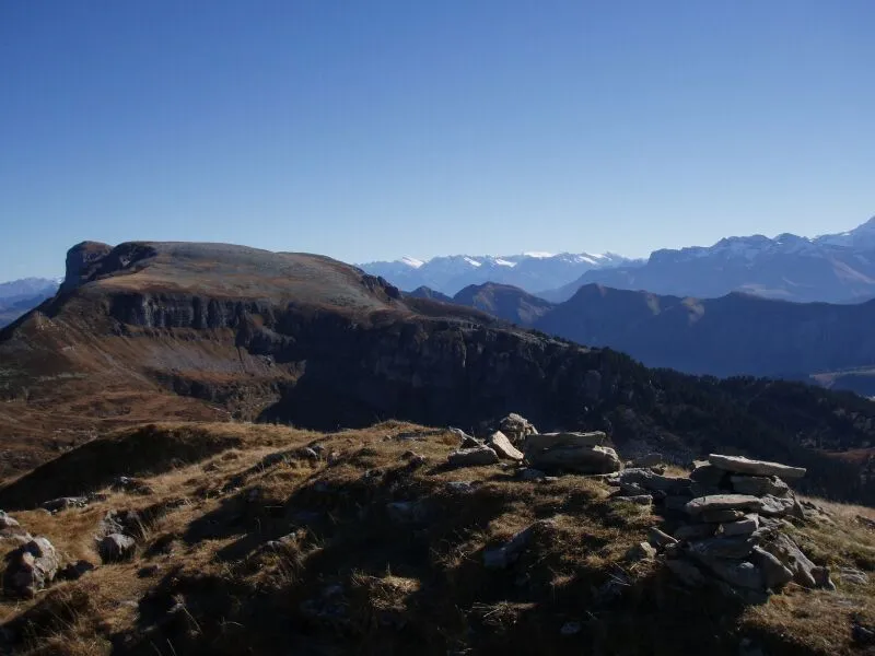
Schufelbüelegg Mountain, Canton of Bern5.2 km E
-
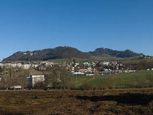 Bantiger Mountain, Bolligen13 km SW
-
Diepoldshusenegg Mountain, Vechigen9.3 km SW
-
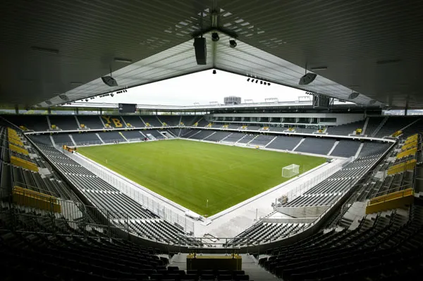 Stade de Suisse Landmark, Berne17 km SW
-
Mänziwilegg Mountain, Vechigen11 km SW
-
Geissrügge Mountain, Arni (BE)11 km S
Sources & licences
Data last updated: