Canton of Fribourg
Local name: Fribourg
Located in Switzerland Coordinates: 46°42′30″ N 7°06′11″ E

- Population
- 325,496
- 325.5K
- Elevation
- 731 m
- above sea level
- Local time
- UTC+01:00
- Europe/Zurich · UTC+01:00
- Places inside
- 16
- listed under Canton of Fribourg
- Airports
- BRN Bern Airport38 km
- GVA Geneva International Airport93 km
About Canton of Fribourg
Canton of Fribourg is a region. Location: Switzerland. Population: 325,496.
The canton of Fribourg, also canton of Freiburg, is located in western Switzerland. The canton is bilingual, with French spoken by more than two thirds of the citizens and German by a little more than a quarter. Both are official languages in the canton. The canton takes its name from its capital city of Fribourg.
Source: Wikipedia · CC BY-SA 4.0
Photos of Canton of Fribourg
-
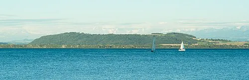
Mont Vully Ludovic Péron · CC BY-SA 3.0 -

Vanil Noir Valentin Vuichard · CC BY-SA 3.0 -
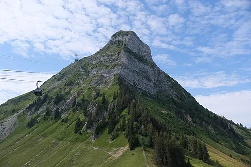
Moléson Christian David · CC BY-SA 4.0 -
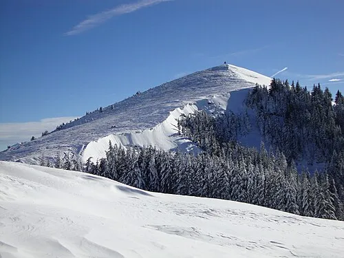
La Berra GrandDixence · Public domain


Places bordering Canton of Fribourg
Population of Canton of Fribourg over time
| 2018 | 318,714 | |
|---|---|---|
| 2024 | 341,537 | |
| 2025 | 350,918 |
Censuses and official estimates; source: Wikidata.
Climate of Canton of Fribourg
Best months for sightseeingBest months for sightseeing: June–August.
This month · November
A cold month
Day 7° · Night 0° · Rain 92 mm
- Hottest month
- July (day 23°)
- Coldest month
- January (night -4°)
- Wettest month
- June (119 mm)
- Driest month
- March (73 mm)
Bars: average monthly low and high temperature. Below: precipitation. Monthly averages for 1970–2000 at about 18 km resolution, adjusted for elevation. Highlighted months are mild and relatively dry. Source: WorldClim 2.1 (CC BY 4.0).
Show values as a table
| Month | Jan | Feb | Mar | Apr | May | Jun | Jul | Aug | Sep | Oct | Nov | Dec |
|---|---|---|---|---|---|---|---|---|---|---|---|---|
| Average high (°C) | 3° | 4° | 9° | 12° | 17° | 20° | 23° | 23° | 18° | 13° | 7° | 4° |
| Average low (°C) | -4° | -3° | -1° | 2° | 6° | 9° | 12° | 11° | 8° | 4° | 0° | -3° |
| Precipitation (mm) | 76 | 76 | 73 | 83 | 104 | 119 | 108 | 113 | 94 | 92 | 92 | 88 |
How to get to Canton of Fribourg
The nearest airport is Bern Airport (BRN), 38 km to the northeast as the crow flies. For international flights: Geneva International Airport (GVA) (93 km). The nearest large city is Bern, 37 km to the northeast.
Airports
- Bern Airport (BRN) Bern 38 kmnortheast
- Geneva International Airport (GVA) Geneva 93 kmsouthwest
- EuroAirport Basel–Mulhouse–Freiburg (BSL) Bâle / Mulhouse 104 kmnorth
Nearby large cities
- Bern Population: 121.6K 37 kmnortheast
- Lausanne Population: 139.1K 42 kmsouthwest
- Geneva Population: 201.7K 93 kmsouthwest
- Basel Population: 177.6K 101 kmnorth
- Besançon Population: 128.4K 102 kmnorthwest
Straight-line distances; road distances are longer. Airport data: OurAirports.
Places in Canton of Fribourg
16 places
Sarine District
Population: 107.2K
Gruyère District
Population: 57.6K

Sense District
Population: 44.6K

See
Population: 37.7K

Broye District
Population: 33.9K
Glâne District
Population: 25K
Bar: population relative to the most populous place in this list.
Cities & villages2
- Mittleren Chrutböden · Neighbourhood
- Rüebeldorf · Village
Lakes, rivers & coasts6
- Ile d'Ogoz · Island
- Lac de la Gruyère · Lake
- Lac de Lessoc · Lake
- Lac de Schiffenen · Lake
- Lake Murten · Lake
- Schwarzsee · Lake
Heritage & sights1
- Ruine de la Tour de Pont-en-Ogoz · Historic site
Largest cities and towns
-
Mont-Vully Municipality, See4K
-
Fribourg Municipality, Sarine District38.2K
-
Bulle Municipality, Gruyère District23.9K
-
Estavayer Municipality, Broye District9.8K
-
Fribourg City, Fribourg38.4K
-
Murten/Morat Municipality, See8.3K
-
Düdingen Municipality, Sense District8.2K
-
Tafers Municipality, Sense District7.6K
Nature and heritage in Canton of Fribourg
Other regions in Switzerland
-
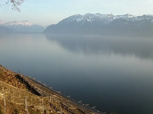 Canton of Vaud Region, Switzerland37 km W
-
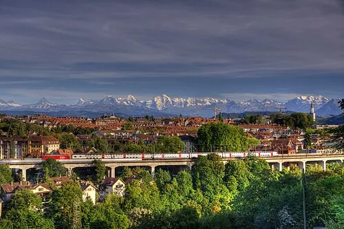 Canton of Bern Region, Switzerland42 km NE
-
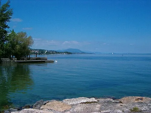 Canton of Neuchâtel Region, Switzerland39 km NW
-
Broye-Vully District District, Canton of Vaud17 km NW
-
Gros-de-Vaud District District, Canton of Vaud35 km W
-
Boudry District District, Canton of Neuchâtel34 km NW
Sources & licences
Data last updated: · 2 independent sources