Canton of Neuchâtel
Local name: Canton de Neuchâtel
Located in Switzerland Coordinates: 46°59′27″ N 6°47′52″ E
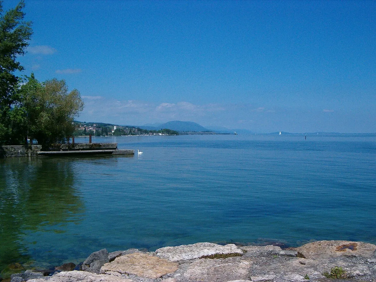
- Population
- 175,894
- 175.9K
- Elevation
- 1,079 m
- above sea level
- Local time
- UTC+01:00
- Europe/Zurich · UTC+01:00
- Places inside
- 10
- listed under Canton of Neuchâtel
- Airports
- BRN Bern Airport54 km
- BSL EuroAirport Basel–Mulhouse–Freiburg87 km
About Canton of Neuchâtel
Canton of Neuchâtel is a region. Location: Switzerland. Population: 175,894.
The Republic and Canton of Neuchâtel is one of the 26 cantons of the Swiss Confederation. It is a mostly French-speaking canton in the western part of the country. In 2020, its population was 175,894. The capital is Neuchâtel.
Source: Wikipedia · CC BY-SA 4.0
Places bordering Canton of Neuchâtel
- Canton of Bern
- Canton of Vaud
- Canton of Fribourg
- Canton of Jura
- Doubs
- Bourgogne-Franche-Comté
Climate of Canton of Neuchâtel
Best months for sightseeingBest months for sightseeing: July–August.
This month · November
A wet month
Day 5° · Night -1° · Rain 105 mm
- Hottest month
- July (day 19°)
- Coldest month
- January (night -5°)
- Wettest month
- June (115 mm)
- Driest month
- March (84 mm)
Bars: average monthly low and high temperature. Below: precipitation. Monthly averages for 1970–2000 at about 18 km resolution, adjusted for elevation. Highlighted months are mild and relatively dry. Source: WorldClim 2.1 (CC BY 4.0).
Show values as a table
| Month | Jan | Feb | Mar | Apr | May | Jun | Jul | Aug | Sep | Oct | Nov | Dec |
|---|---|---|---|---|---|---|---|---|---|---|---|---|
| Average high (°C) | 1° | 2° | 5° | 8° | 13° | 17° | 19° | 19° | 16° | 10° | 5° | 2° |
| Average low (°C) | -5° | -4° | -2° | 0° | 4° | 7° | 10° | 10° | 7° | 3° | -1° | -3° |
| Precipitation (mm) | 93 | 92 | 84 | 90 | 108 | 115 | 102 | 106 | 101 | 101 | 105 | 106 |
How to get to Canton of Neuchâtel
The nearest airport is Bern Airport (BRN), 54 km to the east as the crow flies. For international flights: EuroAirport Basel–Mulhouse–Freiburg (BSL) (87 km). The nearest large city is Bern, 50 km to the east.
Airports
- Bern Airport (BRN) Bern 54 kmeast
- EuroAirport Basel–Mulhouse–Freiburg (BSL) Bâle / Mulhouse 87 kmnortheast
- Geneva International Airport (GVA) Geneva 99 kmsouthwest
Nearby large cities
- Bern Population: 121.6K 50 kmeast
- Lausanne Population: 139.1K 54 kmsouth
- Besançon Population: 128.4K 66 kmnorthwest
- Basel Population: 177.6K 86 kmnortheast
- Mulhouse Population: 111.4K 94 kmnortheast
Straight-line distances; road distances are longer. Airport data: OurAirports.
Places in Canton of Neuchâtel
10 places- 1 Neuchâtel District 53.7K
- 2 Boudry District 40.7K
- 3 La Chaux-de-Fonds District 39.8K
- 4 Val-de-Ruz District 17.4K
- 5 Le Locle District 14.2K
- 6 Val-de-Travers District 11.9K
Bar: population relative to the most populous place in this list.
Mountains & nature4
- Arête du Foulet · Natural site
- Chaumont · Mountain
- Crêt des Devens · Mountain
- Val de Ruz · Natural site
Largest cities and towns
-
Neuchâtel Municipality, Neuchâtel District44.6K
-
La Chaux-de-Fonds Municipality, La Chaux-de-Fonds District37.5K
-
Val-de-Ruz Municipality, Val-de-Ruz District17K
-
Laténa Municipality, Neuchâtel District11.7K
-
Val-de-Travers Municipality, Val-de-Travers District10.7K
-
Le Locle Municipality, Le Locle District11.1K
-
La Chaux-de-Fonds City, La Chaux-de-Fonds37.9K
-
La Grande Béroche Municipality, Boudry District8.8K
Nature and heritage in Canton of Neuchâtel
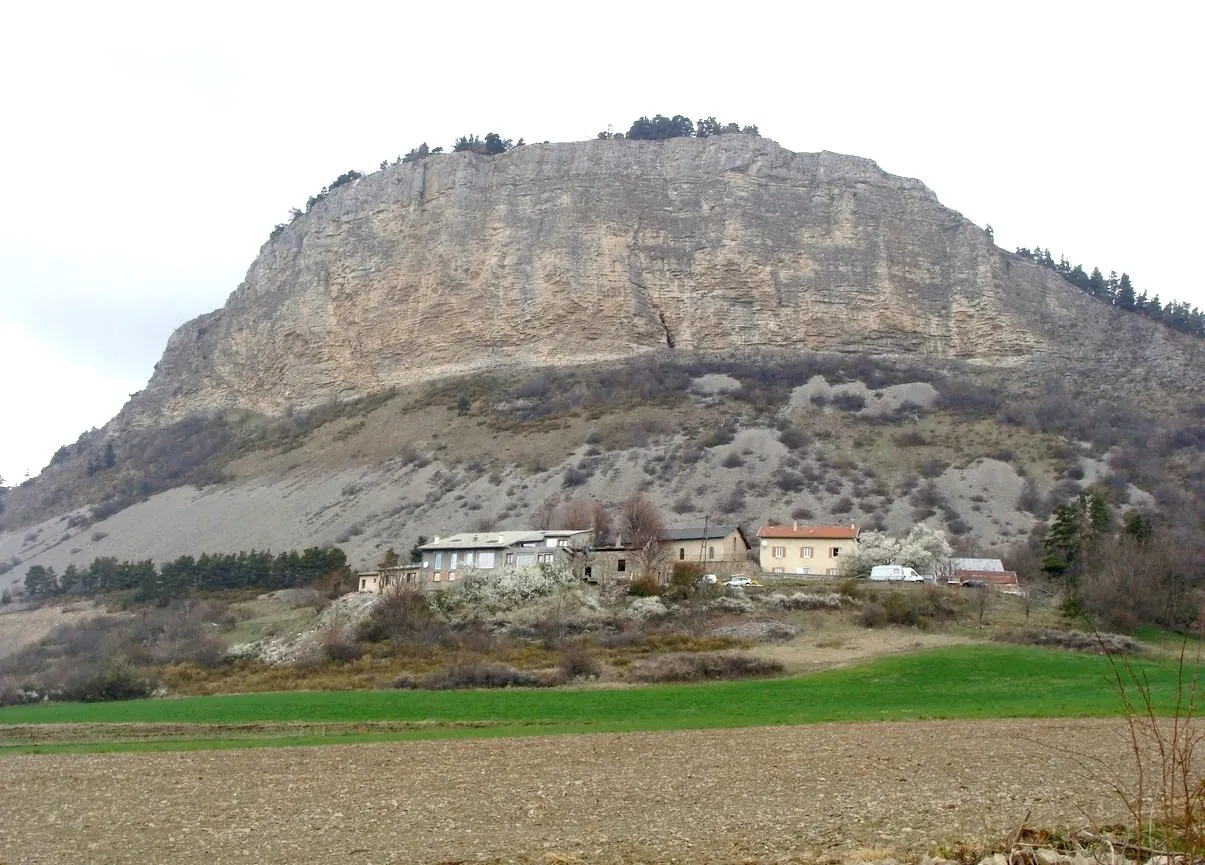
Other regions in Switzerland
-
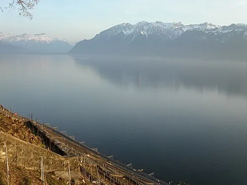 Canton of Vaud Region, Switzerland43 km S
-
Canton of Fribourg Region, Switzerland39 km SE
-
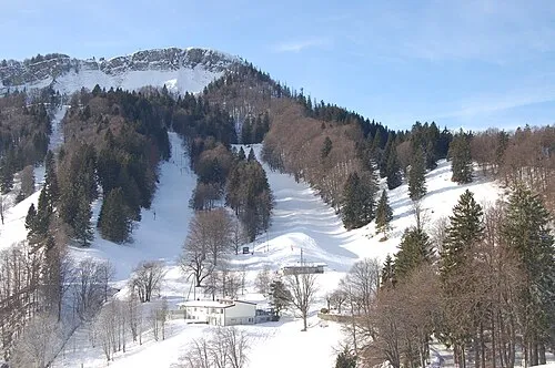 Canton of Solothurn Region, Switzerland60 km NE
-
Broye District District, Canton of Fribourg20 km SE
-
Broye-Vully District District, Canton of Vaud25 km S
-
See District, Canton of Fribourg28 km E
Sources & licences
Data last updated: · 2 independent sources