Canton of Solothurn
Located in Switzerland Coordinates: 47°12′39″ N 7°31′14″ E
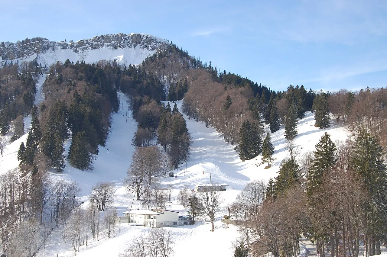
- Population
- 250,155
- 250.2K
- Elevation
- 439 m
- above sea level
- Local time
- UTC+01:00
- Europe/Zurich · UTC+01:00
- Places inside
- 13
- listed under Canton of Solothurn
About Canton of Solothurn
Canton of Solothurn is a region. Location: Switzerland. Population: 250,155.
The canton of Solothurn or canton of Soleure (German: Kanton Solothurn; Romansh: Chantun Soloturn; French: Canton de Soleure; Italian: Canton Soletta) is a canton of Switzerland. It is located in the northwest of Switzerland. The capital is Solothurn.
Read more on Wikipedia Text: Wikipedia contributors · CC BY-SA 4.0 · shortened
At a glance
- Built
- 1481
- Area
- 790 km²
Source: Wikidata
In comparison
- 26 sights and natural places within 10 km Dürrbach, Kloster Solothurn
- Listed here: District: 10, Attraction: 1, Lake: 1, Neighbourhood: 1
Places in Canton of Solothurn
13 places-
Olten District District56.1K
-
Bezirk Wasseramt District52.9K
-
Bezirk Lebern District46.4K
-
Bezirk Gösgen District24.8K
-
Bezirk Gäu District22K
-
Bezirk Dorneck District20.8K
-
Solothurn District District16.5K
-
Bezirk Thierstein District14.8K
-
Bezirk Thal District14.8K
-
Bucheggberg District District8K
-
Inkwilersee Lake
-
Unterer Muttenhof Neighbourhood
-
Voliere Chantier Attraction
Largest cities and towns
-
Grenchen Municipality, Bezirk Lebern17.5K
-
Solothurn Municipality, Solothurn District16.9K
-
Olten Municipality, Olten District18.4K
-
Biberist Municipality, Bezirk Wasseramt8.8K
-
Olten City, Olten18.4K
-
Solothurn City, Solothurn16.8K
-
Dornach Municipality, Bezirk Dorneck6.8K
-
Hägendorf Municipality, Olten District5.1K
Nature and heritage in Canton of Solothurn
-
Hasenmatt Mountain, Selzach
-
Belchenflue Mountain, Hägendorf
-
Hohe Winde Mountain, Beinwil (SO)
-
Leutschenberg Mountain, Stüsslingen
-
Nesselboden Mountain, Oberdorf (SO)
-
Burgflue Mountain, Lostorf
Other regions in Switzerland
-
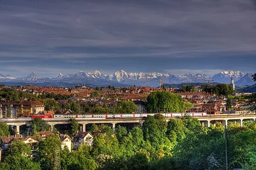 Canton of Bern Region, Switzerland38 km S
-
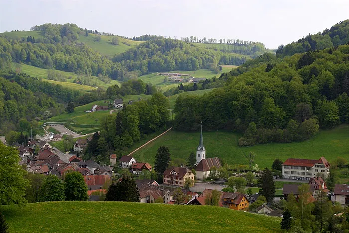 Basel-Landschaft Region, Switzerland35 km NE
-
Canton of Jura Region, Switzerland32 km NW
-
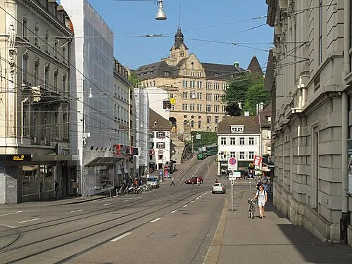 Canton of Basel-City Region, Switzerland40 km N
-
Oberaargau District, Canton of Bern17 km E
-
Emmental District District, Canton of Bern21 km SE
Sources & licences
Data last updated: · 2 independent sources