- Population
- 16
- 16
- Elevation
- 910 m
- above sea level
- Local time
- UTC+01:00
- Europe/Zurich · UTC+01:00
- Airports
- ZRH Zürich Airport29 km
- ACH Sankt Gallen Altenrhein Airport52 km
About Laupetswil
Laupetswil is a village. Location: Bäretswil, Hinwil District. Population: 16. Elevation: 910 m. The best months to visit are June–September. The nearest airport is Zürich Airport (29 km). Nearby sights include Baschlisgipfel and Tännler.
Photos of Laupetswil
-
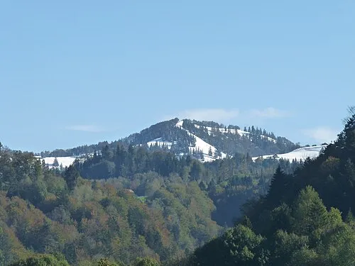
Schnebelhorn Pluessline386 · CC BY-SA 3.0 -
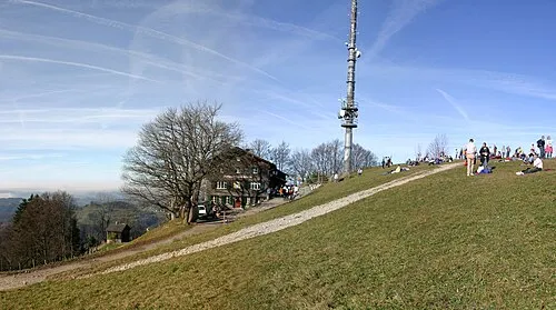
Hörnli No machine-readable author provided. Albireo~commonswiki assumed · CC BY-SA 3.0 -
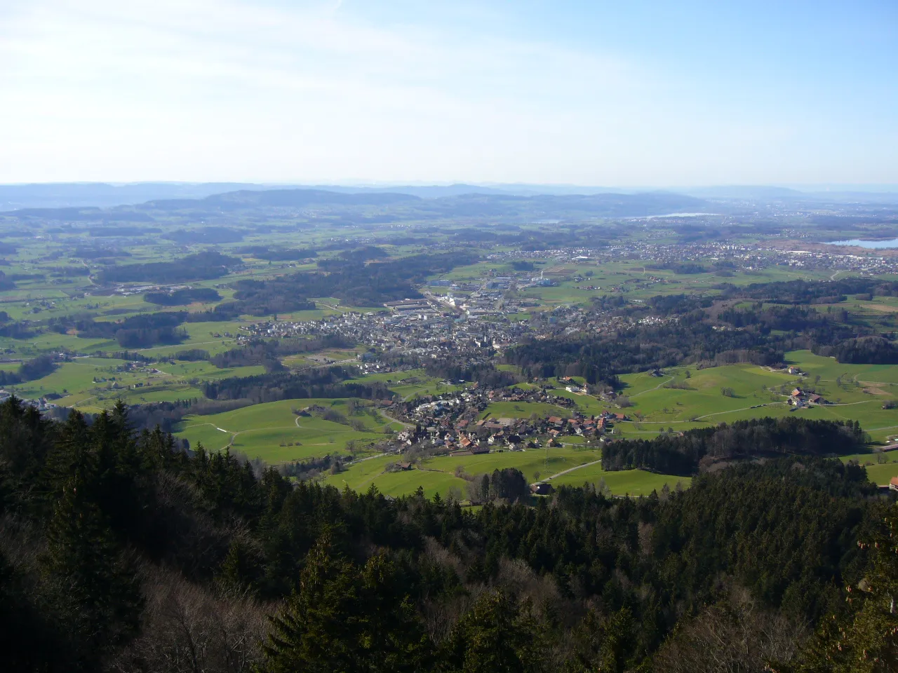
Bachtel No machine-readable author provided. Berger~commonswiki assumed · Public domain -
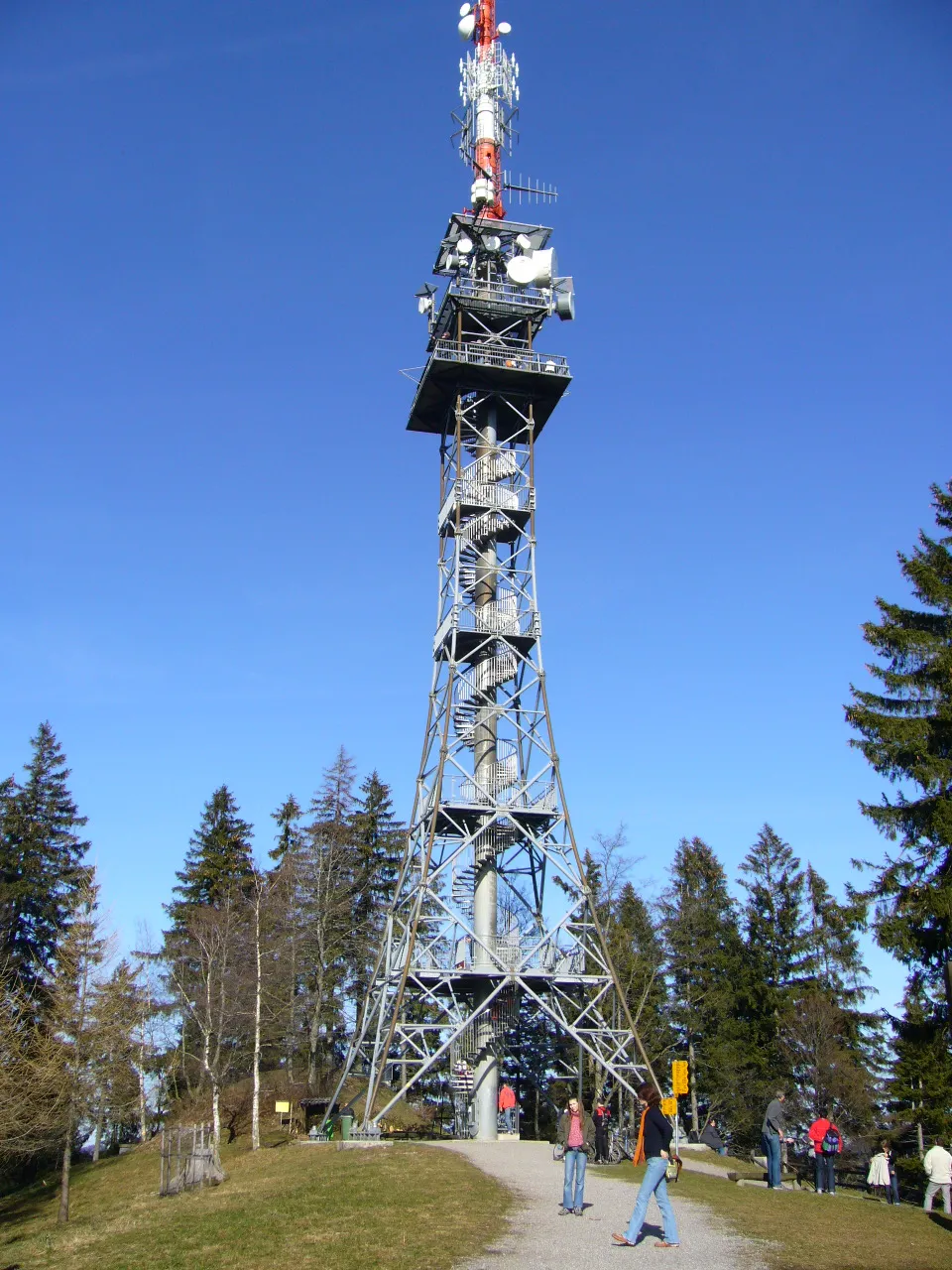
Bachtel Tower No machine-readable author provided. Berger~commonswiki assumed · Public domain


Climate of Laupetswil
Best months for sightseeingBest months for sightseeing: June–September.
This month · November
A cold month
Day 5° · Night -1° · Rain 95 mm
- Hottest month
- July (day 20°)
- Coldest month
- January (night -5°)
- Wettest month
- June (145 mm)
- Driest month
- January (67 mm)
Bars: average monthly low and high temperature. Below: precipitation. Monthly averages for 1970–2000 at about 18 km resolution, adjusted for elevation. Highlighted months are mild and relatively dry. Source: WorldClim 2.1 (CC BY 4.0).
Show values as a table
| Month | Jan | Feb | Mar | Apr | May | Jun | Jul | Aug | Sep | Oct | Nov | Dec |
|---|---|---|---|---|---|---|---|---|---|---|---|---|
| Average high (°C) | 1° | 2° | 7° | 10° | 15° | 18° | 20° | 20° | 16° | 11° | 5° | 2° |
| Average low (°C) | -5° | -4° | -1° | 1° | 6° | 9° | 11° | 11° | 8° | 4° | -1° | -3° |
| Precipitation (mm) | 67 | 78 | 74 | 92 | 111 | 145 | 144 | 135 | 101 | 86 | 95 | 85 |
Other places to visit in this season: June July August September
How to get to Laupetswil
The nearest airport is Zürich Airport (ZRH), 29 km to the northwest as the crow flies. The nearest large city is Winterthur, 22 km to the northwest.
Airports
- Zürich Airport (ZRH) Zurich 29 kmnorthwest
- Sankt Gallen Altenrhein Airport (ACH) St. Gallen 52 kmeast
- Bodensee Airport Friedrichshafen (FDH) Friedrichshafen 59 kmnortheast
Nearby large cities
- Winterthur Population: 111.8K 22 kmnorthwest
- Zurich Population: 415.4K 26 kmwest
- Basel Population: 177.6K 103 kmwest
- Freiburg im Breisgau Population: 237.5K 107 kmnorthwest
- Bern Population: 121.6K 119 kmwest
Straight-line distances; road distances are longer. Airport data: OurAirports.
Day trips from Laupetswil
Within 100 km: 520 historic and cultural sites, 5,483 natural sites, 1,081 lakes, rivers and coasts.
0–25 km211 places
- Ufenau Island 17 kmSW
- Insel Lützelau Island 16 kmSW
- Schönenwerd Island 21 kmSW
- Seedamm Island 16 kmSW
25–60 km1,933 places
- Mainau Island 46 kmNE
- Fahr Abbey Attraction 35 kmW
- Dominikanerinsel Konstanz Island 41 kmNE
- Strandbad Steckborn Beach 35 kmN
60–100 km4,940 places
- Strandbad Iseltwald Beach 100 kmSW
- Strandbad Brienz Beach 93 kmSW
- Schnäggeninseli Island 99 kmSW
- Mauesee-Insel Island 65 kmW
Straight-line distances.
Nearby attractions & nature
Everything nearby-
Baschlisgipfel Mountain, Bäretswil0.8 km SE
-
Tännler Mountain, Bäretswil1.1 km W
-
Jakobsberg Mountain, Bäretswil2.1 km SW
-
Wilgupf Mountain, Fischenthal1.3 km E
-
Waltsberghöchi Mountain, Bäretswil1.9 km S
-
Hohenegg Mountain, Bäretswil2 km W
Other cities and towns in Bäretswil

Sources & licences
Data last updated: