- Population
- 35,095
- 35.1K
- Elevation
- 10 m
- above sea level
- Local time
- UTC+01:00
- Europe/Amsterdam · UTC+01:00
- Airports
- AMS Amsterdam Airport Schiphol59 km
- NRN Weeze (Niederrhein) Airport71 km
About Barneveld
Barneveld is a town. Location: Barneveld Municipality, Gelderland. Population: 35,095. Elevation: 10 m.
Barneveld is a town in the Dutch province of Gelderland and also the administrative center of the eponymous municipality.
Source: Wikipedia · CC BY-SA 4.0
Photos of Barneveld
-

Nanda Sluijsmans from Den Haag, Nederland · CC BY-SA 2.0 -

Nationaal Archief · CC0 -

Wubbelflup · CC BY-SA 3.0 -

Alex Hoekerd from Nunspeet, The Netherlands · CC0 -

Alex Hoekerd from Nunspeet, The Netherlands · CC0


Travel notes for Barneveld
From Wikivoyage
Barneveld is a town in Gelderland, located in a region of woods and heath, southeast of Amersfoort.
Understand+
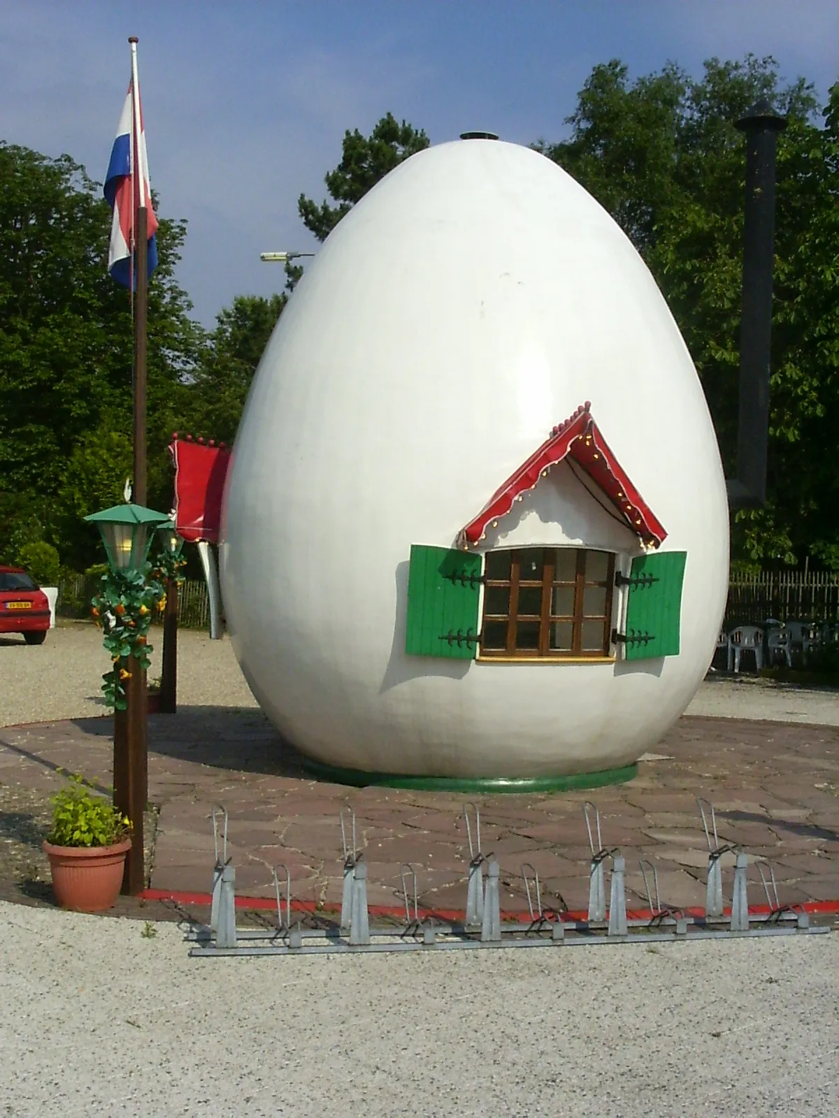
Barneveld has become famous in the Netherlands for poultry farming and egg production and has a breed of chicken, the Barnevelder, named after it. The town has existed since 1333, and functions mostly as a market-town servicing the Gelderse Vallei. Though the town is rather big, it has never gained city rights.
A notable story from Barneveld is the story of Jan van Schaffelaar, cavalry commander in the Hook and Cod wars. He allegedly leaped off the city's tower on July 16th, 1482, to meet his death at the foot of the tower. A statue of him has been placed on the Torenplein. Schaffelaar Castle, the Schaffelaar Theatre and the Schaffelaarse Bos have been named after him.
Get in+
By train:
Barneveld has three train stations (1 Barneveld Noord, 2 Barneveld Centrum and 3 Barneveld Zuid) which can be reached by train in two directions: from Amersfoort Central Station and from Ede-Wageningen. Intercity trains do not stop at Barneveld. The main station is about 5 minutes walk from the village center.
By car:
Barneveld is located along the A30, which connects the A12 between Ede and Veenendaal with the A1/E30 between Amersfoort and Apeldoorn. Exits 4 (Scherpenzeel) and 5 (Barneveld-Noord) service Barneveld. Parking your car is easy within the town.
By bus:
Busses also run from Amersfoort Central Station. However, since you are already at the train station, a train would be much more effective.
Source: Wikivoyage · CC BY-SA 4.0 · abridged
Climate of Barneveld
Best months for sightseeingBest months for sightseeing: June–August.
This month · November
A cold month
Day 9° · Night 3° · Rain 80 mm
- Hottest month
- August (day 23°)
- Coldest month
- February (night 0°)
- Wettest month
- December (82 mm)
- Driest month
- April (48 mm)
Bars: average monthly low and high temperature. Below: precipitation. Monthly averages for 1970–2000 at about 18 km resolution, adjusted for elevation. Highlighted months are mild and relatively dry. Source: WorldClim 2.1 (CC BY 4.0).
Show values as a table
| Month | Jan | Feb | Mar | Apr | May | Jun | Jul | Aug | Sep | Oct | Nov | Dec |
|---|---|---|---|---|---|---|---|---|---|---|---|---|
| Average high (°C) | 5° | 6° | 10° | 13° | 18° | 20° | 22° | 23° | 19° | 14° | 9° | 6° |
| Average low (°C) | 0° | 0° | 2° | 3° | 8° | 10° | 12° | 12° | 9° | 6° | 3° | 1° |
| Precipitation (mm) | 73 | 53 | 70 | 48 | 62 | 74 | 69 | 61 | 73 | 72 | 80 | 82 |
How to get to Barneveld
The nearest airport is Amsterdam Airport Schiphol (AMS), 59 km to the west as the crow flies. The nearest large city is Amersfoort, 14 km to the west.
Airports
- Amsterdam Airport Schiphol (AMS) Amsterdam 59 kmwest
- Weeze (Niederrhein) Airport (NRN) Weeze 71 kmsoutheast
- Eindhoven Airport (EIN) Eindhoven 78 kmsouth
Nearby large cities
- Amersfoort Population: 139.9K 14 kmwest
- Apeldoorn Population: 136.7K 27 kmeast
- Arnhem Population: 162.4K 29 kmsoutheast
- Utrecht Population: 376.4K 32 kmwest
- Almere Stad Population: 176.4K 36 kmnorthwest
Straight-line distances; road distances are longer. Airport data: OurAirports.
Day trips from Barneveld
Within 100 km: 177 historic and cultural sites, 203 natural sites, 135 lakes, rivers and coasts.
0–25 km42 places
- Zwarte Berg Mountain 24 kmNE
- Waterberg Mountain 21 kmE
- Valenberg Mountain 20 kmNE
- Valenberg Mountain 14 kmSE
25–60 km162 places
- Putjensberg Mountain 40 kmNE
- Wijlermeer Lake 44 kmSE
- Strang Lake 52 kmSE
- Forst Tiergarten Natural site 53 kmSE
60–100 km311 places
- IJsselmonde Island 79 kmW
- Wegmeerheide Natural site 93 kmSW
- Warandeheide Natural site 99 kmS
- Staatbossen Natural site 92 kmSW
Straight-line distances.
Nearby attractions & nature
Everything nearby-
Steenenberg Mountain, Ede Municipality7.1 km SE
-
Galgenberg Mountain, Ede Municipality7.7 km SE
-
Scheleberg Mountain, Ede Municipality8 km SE
-
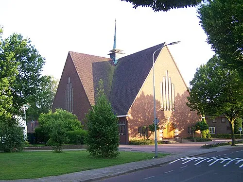 Nieuwe Kerk Attraction, Ede Municipality13 km SE
-
Drieberg Mountain, Ede Municipality13 km SE
-
Valenberg Mountain, Ede Municipality14 km SE
-
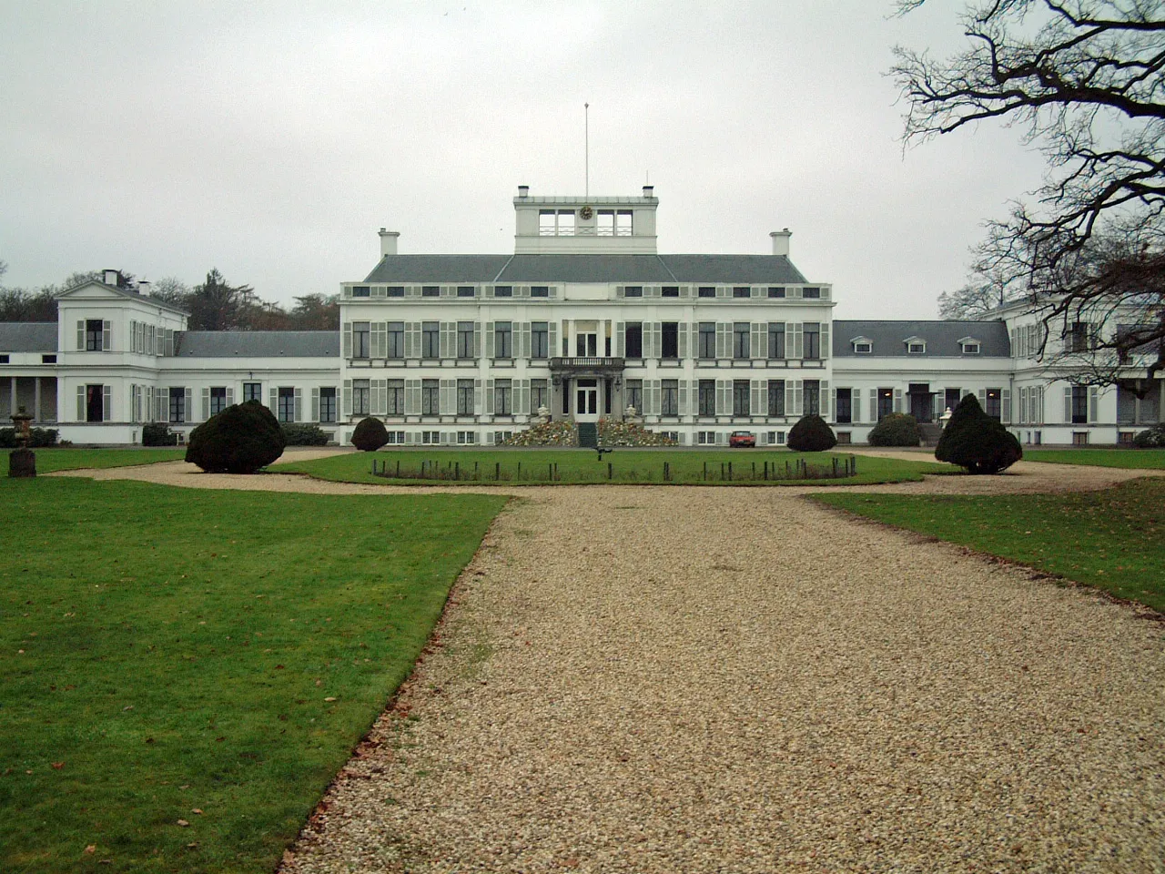 Soestdijk Palace Historic site, Baarn Municipality22 km W
-
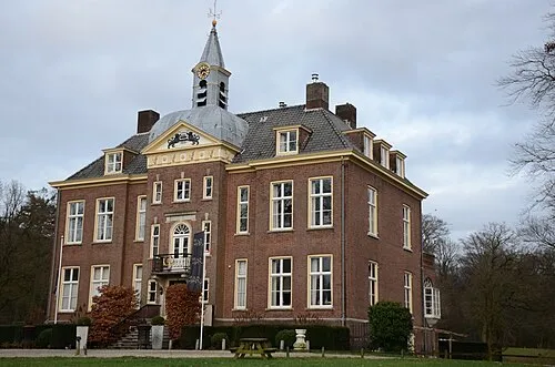 Hoekelum Historic site, Ede Municipality15 km SE
Sources & licences
Data last updated: · 2 independent sources