- Population
- 19,590
- 19.6K
- Elevation
- 22 m
- above sea level
- Local time
- UTC+01:00
- Europe/Amsterdam · UTC+01:00
- Airports
- NRN Weeze (Niederrhein) Airport52 km
- FMO Münster Osnabrück Airport79 km
About Lichtenvoorde
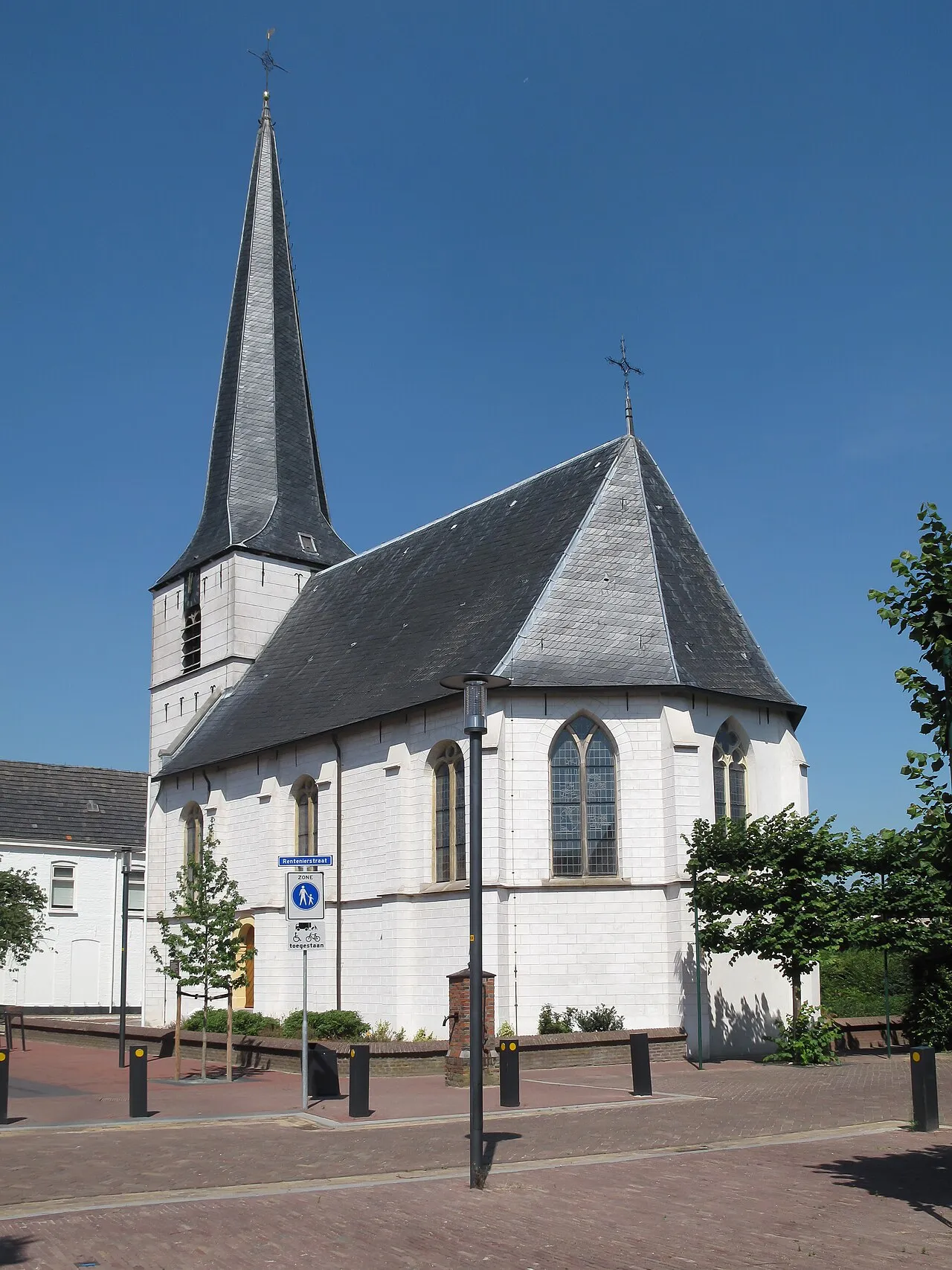
Lichtenvoorde is a town. Location: Oost Gelre, Gelderland. Population: 19,590. Elevation: 22 m.
Lichtenvoorde is a town in the east of the Netherlands, in the municipality of Oost Gelre. Lichtenvoorde holds a flower parade (bloemencorso) every September at the start of its annual festival. The parade features floats covered in flowers (usually dahlias) in imaginative designs depicting a variety of themes. Lichtenvoorde has a motocross circuit on which international grands prix are held.
Source: Wikipedia · CC BY-SA 4.0
Photos of Lichtenvoorde
-

Paul van Galen / Kris Roderburg · CC BY-SA 4.0 -

Arch at Low Saxon Wikipedia · Public domain -

Archmedus · CC BY-SA 3.0 nl -

Michielverbeek · CC BY 4.0 -

Ciell · CC BY 4.0


Population of Lichtenvoorde over time
| 1879 | 3,923 | |
|---|---|---|
| 1889 | 4,253 | |
| 1899 | 4,369 | |
| 1909 | 4,626 | |
| 1920 | 6,066 | |
| 1930 | 7,404 | |
| 1947 | 9,812 | |
| 1960 | 12,776 | |
| 1971 | 15,299 | |
| 1980 | 17,365 | |
| 1990 | 18,157 | |
| 2000 | 19,224 |
Censuses and official estimates; source: Wikidata.
Climate of Lichtenvoorde
Best months for sightseeingBest months for sightseeing: June–August.
This month · November
A cold month
Day 9° · Night 3° · Rain 69 mm
- Hottest month
- July (day 23°)
- Coldest month
- February (night 0°)
- Wettest month
- June (77 mm)
- Driest month
- April (46 mm)
Bars: average monthly low and high temperature. Below: precipitation. Monthly averages for 1970–2000 at about 18 km resolution, adjusted for elevation. Highlighted months are mild and relatively dry. Source: WorldClim 2.1 (CC BY 4.0).
Show values as a table
| Month | Jan | Feb | Mar | Apr | May | Jun | Jul | Aug | Sep | Oct | Nov | Dec |
|---|---|---|---|---|---|---|---|---|---|---|---|---|
| Average high (°C) | 5° | 6° | 9° | 13° | 18° | 21° | 23° | 22° | 18° | 14° | 9° | 6° |
| Average low (°C) | 0° | 0° | 2° | 4° | 8° | 11° | 13° | 12° | 10° | 6° | 3° | 1° |
| Precipitation (mm) | 65 | 47 | 65 | 46 | 63 | 77 | 69 | 60 | 71 | 64 | 69 | 75 |
How to get to Lichtenvoorde
The nearest airport is Weeze (Niederrhein) Airport (NRN), 52 km to the southwest as the crow flies. The nearest large city is Enschede, 34 km to the northeast.
Airports
- Weeze (Niederrhein) Airport (NRN) Weeze 52 kmsouthwest
- Münster Osnabrück Airport (FMO) Greven 79 kmeast
- Düsseldorf Airport (DUS) Düsseldorf 79 kmsouth
Nearby large cities
- Enschede Population: 153.7K 34 kmnortheast
- Arnhem Population: 162.4K 45 kmwest
- Apeldoorn Population: 136.7K 48 kmnorthwest
- Nijmegen Population: 177.4K 52 kmwest
- Bottrop Population: 119.9K 57 kmsoutheast
Straight-line distances; road distances are longer. Airport data: OurAirports.
Day trips from Lichtenvoorde
Within 100 km: 256 historic and cultural sites, 585 natural sites, 388 lakes, rivers and coasts.
0–25 km32 places
- Millinger Meer Lake 24 kmSW
- Sternbusch Natural site 17 kmSE
- Rösing Busch Natural site 19 kmSE
- Pröbsting Busch Natural site 23 kmSE
25–60 km401 places
- Wijlermeer Lake 46 kmSW
- Strang Lake 31 kmSW
- Halterner Talsperre Lake 52 kmSE
- Schmales Meer Lake 26 kmS
60–100 km796 places
- Putjensberg Mountain 60 kmNW
- Kasteel Arcen Historic site 63 kmSW
- Else River 93 kmSE
- Werse River 77 kmE
Straight-line distances.
Nearby attractions & nature
Everything nearby-
Daßberg Mountain, Vreden15 km E
-
Galgenberg Mountain, Gemeente Montferland24 km SW
-
Dillenberg Mountain, Borken24 km SE
-
Reyerdingsbach River, North Rhine-Westphalia14 km S
-
Sternbusch Natural site, North Rhine-Westphalia17 km SE
-
Bocholt Pfarrkirche St. Georg Attraction, Bocholt17 km S
-
Fürsten Busch Natural site, North Rhine-Westphalia17 km E
-
Holtwicker Bach River, North Rhine-Westphalia15 km S
Sources & licences
Data last updated: · 2 independent sources