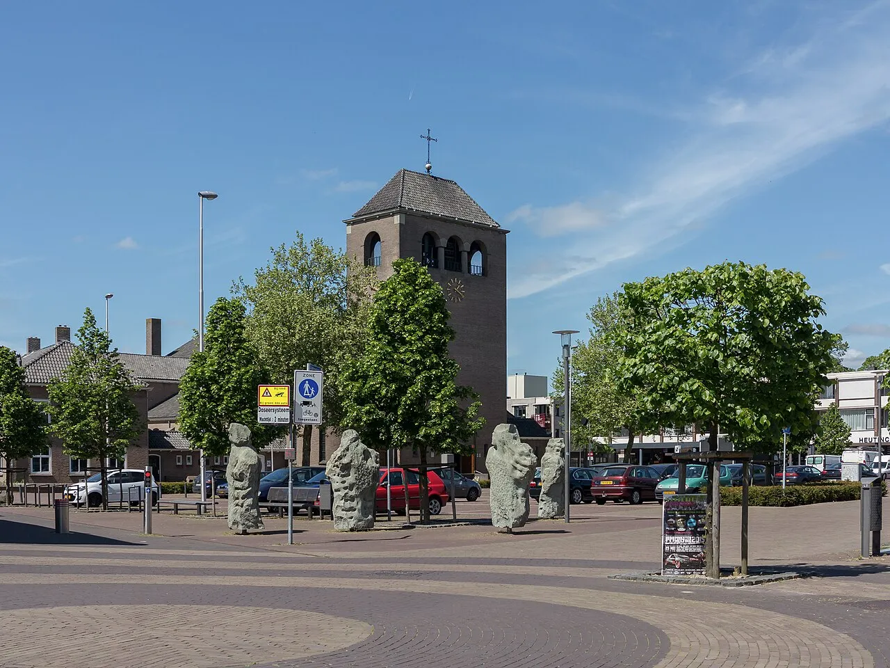
- Population
- 10,440
- 10.4K
- Elevation
- 15 m
- above sea level
- Local time
- UTC+01:00
- Europe/Amsterdam · UTC+01:00
- Airports
- NRN Weeze (Niederrhein) Airport36 km
- DUS Düsseldorf Airport72 km
About Ulft
Ulft is a town. Location: Oude IJsselstreek, Gelderland. Population: 10,440. Elevation: 15 m.
Ulft (Dutch pronunciation: [ˈʏl(ə)ft]) is a town in Oude IJsselstreek in the Achterhoek area in the province of Gelderland, Netherlands. The town has over 10,000 inhabitants and is the biggest town in the municipality Oude IJsselstreek. Until 1 January 2005, Ulft was part of the municipality Gendringen. At the municipal re-ordering in the Achterhoek, the municipalities Gendringen and Wisch joined to form the Oude IJsselstreek. Ulft developed out of three hamlets: Ulft, Oer and De Pol.
Source: Wikipedia · CC BY-SA 4.0
Photos of Ulft
-

Ziko van Dijk · CC BY-SA 4.0 -

Rob Dammers · CC BY 2.0 -

Rob Dammers · CC BY 2.0 -

archengigi · CC BY 3.0 -

Rob Dammers · CC BY 2.0


Climate of Ulft
Best months for sightseeingBest months for sightseeing: June–August.
This month · November
A cold month
Day 9° · Night 3° · Rain 66 mm
- Hottest month
- July (day 23°)
- Coldest month
- February (night 0°)
- Wettest month
- June (73 mm)
- Driest month
- April (43 mm)
Bars: average monthly low and high temperature. Below: precipitation. Monthly averages for 1970–2000 at about 18 km resolution, adjusted for elevation. Highlighted months are mild and relatively dry. Source: WorldClim 2.1 (CC BY 4.0).
Show values as a table
| Month | Jan | Feb | Mar | Apr | May | Jun | Jul | Aug | Sep | Oct | Nov | Dec |
|---|---|---|---|---|---|---|---|---|---|---|---|---|
| Average high (°C) | 5° | 6° | 9° | 13° | 18° | 21° | 23° | 23° | 19° | 14° | 9° | 6° |
| Average low (°C) | 0° | 0° | 2° | 4° | 8° | 11° | 13° | 12° | 10° | 6° | 3° | 1° |
| Precipitation (mm) | 63 | 45 | 62 | 43 | 61 | 73 | 69 | 58 | 69 | 61 | 66 | 72 |
How to get to Ulft
The nearest airport is Weeze (Niederrhein) Airport (NRN), 36 km to the southwest as the crow flies. The nearest large city is Arnhem, 34 km to the west.
Airports
- Weeze (Niederrhein) Airport (NRN) Weeze 36 kmsouthwest
- Düsseldorf Airport (DUS) Düsseldorf 72 kmsouth
- Eindhoven Airport (EIN) Eindhoven 85 kmsouthwest
Nearby large cities
- Arnhem Population: 162.4K 34 kmwest
- Nijmegen Population: 177.4K 37 kmwest
- Apeldoorn Population: 136.7K 45 kmnorthwest
- Enschede Population: 153.7K 51 kmnortheast
- Moers Population: 103.5K 52 kmsouth
Straight-line distances; road distances are longer. Airport data: OurAirports.
Day trips from Ulft
Within 100 km: 254 historic and cultural sites, 470 natural sites, 367 lakes, rivers and coasts.
0–25 km61 places
- Strang Lake 15 kmW
- Schmales Meer Lake 14 kmS
- Millinger Meer Lake 11 kmS
- Lange Renne Lake 20 kmS
25–60 km333 places
- Kasteel Arcen Historic site 48 kmS
- Wijlermeer Lake 31 kmW
- Poelvenn Lake 60 kmS
- Margaretensee Lake 60 kmSE
60–100 km697 places
- Putjensberg Mountain 62 kmNW
- Veldhoven Bos Natural site 93 kmSW
- Varkensbos Natural site 94 kmSW
- Sint-Martens-Heide Natural site 95 kmSW
Straight-line distances.
Nearby attractions & nature
Everything nearby-
Regnieter Bach River, Germany2.6 km S
-
Burg Anholt Historic site, Isselburg6.1 km SE
-
Galgenberg Mountain, Gemeente Montferland8.9 km W
-
Mühlenbach River, North Rhine-Westphalia6.9 km SE
-
Keurvorstenheuvel Mountain, Gemeente Montferland11 km W
-
Rijsberg Mountain, Gemeente Montferland11 km W
-
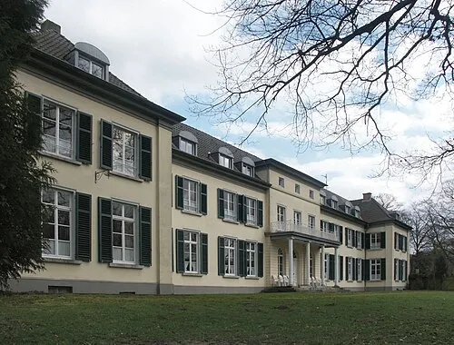 Gnadenthal Historic site, Kleve21 km SW
-
Nebenissel River, North Rhine-Westphalia10 km SE
Other cities and towns in Oude IJsselstreek
-
Wisch Town, Oude IJsselstreek4.9 km NE
-
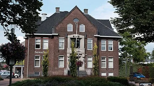 Varsseveld Town, Oude IJsselstreek8.1 km NE
Sources & licences
Data last updated: · 2 independent sources