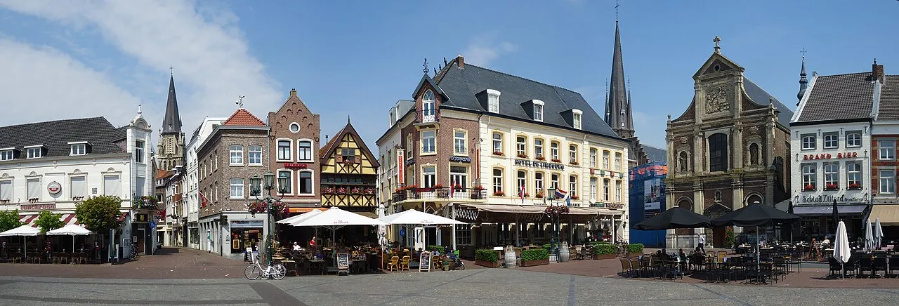
- Population
- 48,400
- 48.4K
- Elevation
- 48 m
- above sea level
- Local time
- UTC+01:00
- Europe/Amsterdam · UTC+01:00
- Airports
- MST Maastricht Aachen Airport12 km
- LGG Liège Airport50 km
About Sittard
Sittard is a town. Location: Gemeente Sittard-Geleen, Limburg. Population: 48,400. Elevation: 48 m.
Sittard (Dutch pronunciation: [ˈsɪtɑrt]; Limburgish: Zitterd [ˈzɪtəʀt]) is a city in the Netherlands, situated in the southernmost province of Limburg. The town is part of the municipality of Sittard-Geleen and has almost 37,500 inhabitants in 2016. In its east, Sittard borders the German municipality of Selfkant (in the state of North Rhine-Westphalia). The city centre is located at 45 m above sea level.
Source: Wikipedia · CC BY-SA 4.0
Photos of Sittard
-

Ben Bender · CC BY-SA 3.0 -

Blonder1984 · CC BY 4.0 -

Nationaal Archief · CC0 -

Hänsel und Gretel · CC BY-SA 3.0 -

Hans Lemmen · CC BY-SA 4.0


Travel notes for Sittard
From Wikivoyage
Sittard is a city in the region South Limburg, in the Dutch province of Limburg.
Understand+
Sittard is a city in the Dutch province of Limburg, which is the southernmost province of the Netherlands. On the east Sittard borders on Germany (municipality Selfkant, in North Rhine-Westphalia). It has some 48,400 inhabitants (including those of neighbouring villages Munstergeleen, Limbricht, Einighausen and Guttecoven). Sittard is part of the municipality of Sittard-Geleen.
Sittard has a small historic city centre with numerous architectural monuments, including several old churches (St Peter's, St Michael's, Basilica of Our Lady of the Sacred Heart) and a few half-timbered houses. The city has retained part of its city wall. On the south-eastern side of the city centre, the St Rosa chapel crowns the Kollenberg hill. Museum "Het Domein" is situated in a converted nineteenth century school building in the city centre. It focuses on contemporary art, urban history and archeology.
VVV Sittard Tourist Office, Rosmolenstraat 2, ☏ +31 900-555 9798. Mon 13:00-17:30, Tue-Fri 10:00-17:30, Sat 10:00-16:00.
Get in+
By train:
The main train station is a 10-minute walk from the city center. Sittard is served by intercity and regional train services. The intercity trains coming from the north (thus from the directions of Amsterdam, Utrecht, 's Hertogenbosch, Eindhoven, Weert, Roermond) are split in two here, with one part continuing to Heerlen and another to Maastricht. In the opposite direction, the two trains are combined here to continue north as one.
Regional trains pass through from the directions of Echt, Roermond, Heerlen and Maastricht.
Trivia: According to NS (Dutch Railways), the Sittard train station has the longest train platforms in the Netherlands, as of 2021.
By bus:
The bus terminal is next to the train station. The bus operator in Sittard and surrounding cities is Veolia, with lines to most of the smaller town in the region but also to larger destinations like Heerlen, Maastricht, Roermond, and Geleen.
By car:
Source: Wikivoyage · CC BY-SA 4.0 · abridged
Population of Sittard over time
| 1879 | 5,102 | |
|---|---|---|
| 1889 | 5,631 | |
| 1899 | 6,232 | |
| 1909 | 7,244 | |
| 1920 | 10,454 | |
| 1930 | 14,566 | |
| 1947 | 19,054 | |
| 1960 | 30,674 | |
| 1971 | 34,620 | |
| 1980 | 33,476 | |
| 1990 | 45,883 | |
| 2022 | 37,085 |
Censuses and official estimates; source: Wikidata.
Climate of Sittard
Best months for sightseeingBest months for sightseeing: June–August.
This month · November
A cold month
Day 9° · Night 4° · Rain 67 mm
- Hottest month
- August (day 23°)
- Coldest month
- February (night 0°)
- Wettest month
- June (80 mm)
- Driest month
- April (51 mm)
Bars: average monthly low and high temperature. Below: precipitation. Monthly averages for 1970–2000 at about 18 km resolution, adjusted for elevation. Highlighted months are mild and relatively dry. Source: WorldClim 2.1 (CC BY 4.0).
Show values as a table
| Month | Jan | Feb | Mar | Apr | May | Jun | Jul | Aug | Sep | Oct | Nov | Dec |
|---|---|---|---|---|---|---|---|---|---|---|---|---|
| Average high (°C) | 6° | 6° | 10° | 13° | 18° | 21° | 23° | 23° | 19° | 15° | 9° | 6° |
| Average low (°C) | 0° | 0° | 3° | 5° | 9° | 11° | 13° | 13° | 10° | 7° | 4° | 2° |
| Precipitation (mm) | 62 | 54 | 65 | 51 | 66 | 80 | 74 | 62 | 65 | 63 | 67 | 72 |
How to get to Sittard
The nearest airport is Maastricht Aachen Airport (MST), 12 km to the southwest as the crow flies. The nearest large city is Maastricht, 21 km to the southwest.
Airports
- Maastricht Aachen Airport (MST) Maastricht 12 kmsouthwest
- Liège Airport (LGG) Grâce-Hollogne 50 kmsouthwest
- Eindhoven Airport (EIN) Eindhoven 61 kmnorthwest
Nearby large cities
- Maastricht Population: 122.4K 21 kmsouthwest
- Aachen Population: 265.2K 29 kmsoutheast
- Mönchengladbach Population: 261.7K 45 kmnortheast
- Liège Population: 195.3K 46 kmsouthwest
- Venlo Population: 102K 46 kmnortheast
Straight-line distances; road distances are longer. Airport data: OurAirports.
Day trips from Sittard
Within 100 km: 447 historic and cultural sites, 1,447 natural sites, 882 lakes, rivers and coasts.
0–25 km72 places
- Stokkemderbos Natural site 12 kmW
- Stelebos Natural site 24 kmSW
- Solter Heide Natural site 19 kmNW
- Petersheimbos Natural site 19 kmSW
25–60 km690 places
- Île du Moulin Island 52 kmS
- Île Monsin Island 41 kmSW
- Île de Franche Garenne Island 36 kmS
- Lac de la Gileppe Lake 47 kmS
60–100 km2,014 places
- Hofstademeer Lake 96 kmW
- Lac de Nisramont Lake 96 kmS
- Vijvers van Bellefroid Lake 83 kmW
- Lac de Robertville Lake 64 kmS
Straight-line distances.
Nearby attractions & nature
Everything nearby-
Saeffeler-beek River, Germany3.9 km N
-
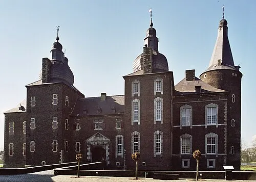 Kasteel Hoensbroek Historic site, Gemeente Heerlen9.7 km S
-
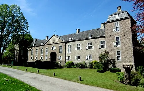 Kasteel Haeren Historic site, Gemeente Voerendaal14 km S
-
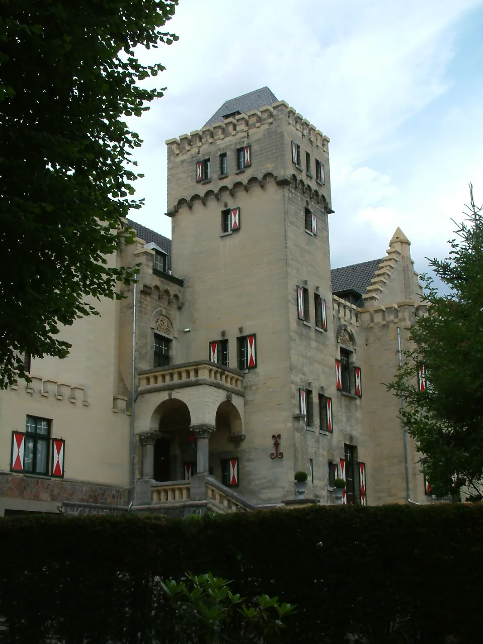 Kasteel Geulzicht Historic site, Valkenburg aan de Geul16 km S
-
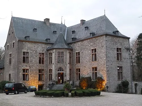 Kasteel Wittem Historic site, Gulpen-Wittem21 km S
-
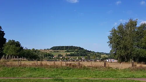 Sousberg Mountain, Valkenburg aan de Geul17 km S
-
Stokkemderbos Natural site, Limburg Province12 km W
-
Allee Busch Natural site, North Rhine-Westphalia12 km E
Other cities and towns in Gemeente Sittard-Geleen
-
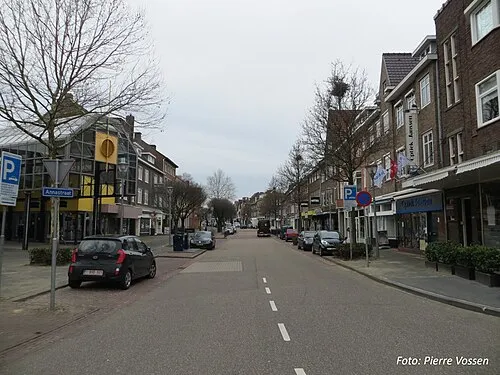 Geleen Town, Gemeente Sittard-Geleen3.9 km SW
-
Lindenheuvel Town, Gemeente Sittard-Geleen4 km W
Sources & licences
Data last updated: · 2 independent sources