Drongelen
Located in Altena, North Brabant Coordinates: 51°42′57″ N 5°03′15″ E
- Population
- 415
- 415
- Elevation
- 2 m
- above sea level
- Local time
- UTC+01:00
- Europe/Amsterdam · UTC+01:00
About Drongelen
Drongelen is a village. Location: Altena, North Brabant. Population: 415. Elevation: 2 m.
Drongelen is a village in the Dutch province of North Brabant. It is located in the municipality of Altena. The village was first mentioned in 1270 as de Drungele, and might mean "open forest near the Drongel river". The church of Drongelen was destroyed by a flood in 1509, and not rebuilt until 1700. In November and December 1944, almost the entire village and the church were destroyed during the fighting between the Allied Forces and the German army. A wooden church was donated by Sweden as a temporary church.
Read more on Wikipedia Text: Wikipedia contributors · CC BY-SA 4.0 · shortened
In comparison
- No. 18 of 22 places in Altena by population
- Nearest larger town: Eethen, 2 km N
- 2 sights and natural places within 10 km Kasteel Dussen, Kasteel Nederhemert
Climate of Drongelen
Best months for sightseeing: June–August.
| Month | Jan | Feb | Mar | Apr | May | Jun | Jul | Aug | Sep | Oct | Nov | Dec |
|---|---|---|---|---|---|---|---|---|---|---|---|---|
| Average high (°C) | 6° | 6° | 10° | 13° | 18° | 20° | 22° | 23° | 19° | 14° | 9° | 7° |
| Average low (°C) | 0° | 0° | 2° | 4° | 8° | 10° | 12° | 12° | 10° | 7° | 3° | 1° |
| Precipitation (mm) | 68 | 51 | 67 | 46 | 61 | 69 | 70 | 58 | 71 | 71 | 77 | 74 |
Monthly averages for 1970–2000 at about 18 km resolution, adjusted for elevation. Highlighted months are mild and relatively dry. Source: WorldClim 2.1 (CC BY 4.0).
Airports nearest to Drongelen
- Eindhoven Airport (EIN) Eindhoven 37 km
- Rotterdam The Hague Airport (RTM) Rotterdam 50 km
- Amsterdam Airport Schiphol (AMS) Amsterdam 69 km
Straight-line distance; airports with scheduled flights only. Source: OurAirports (public domain).
Nearby attractions & nature
Everything nearby-
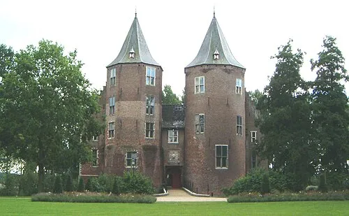 Kasteel Dussen Historic site, Altena6.2 km W
-
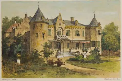 Kasteel Nederhemert Historic site, Gemeente Zaltbommel8.1 km NE
-
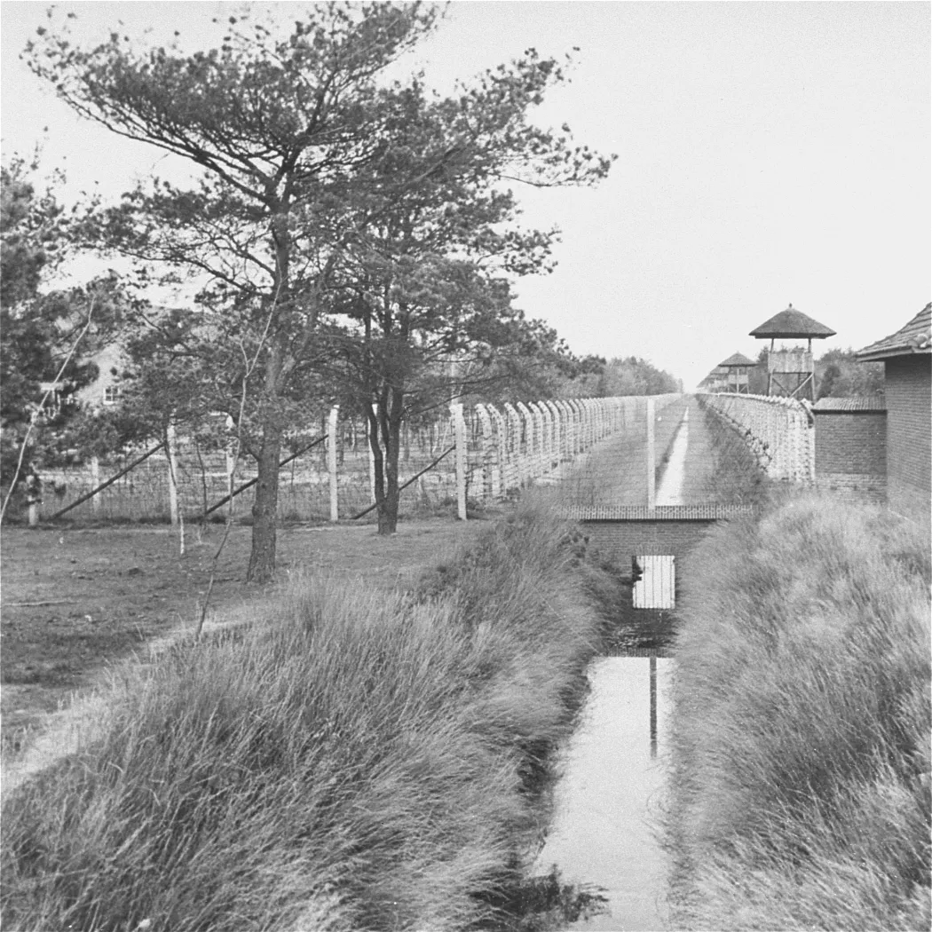 Herzogenbusch Concentration Camp Historic site, Gemeente Vught15 km E
-
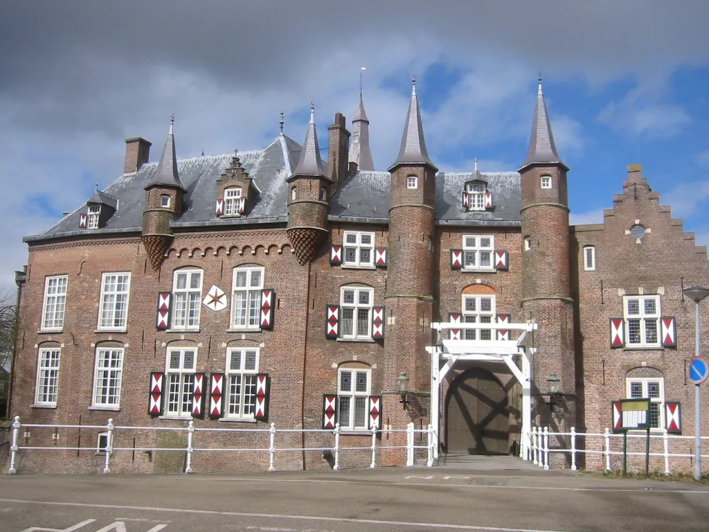 Kasteel Maurick Historic site, Gemeente Vught19 km E
-
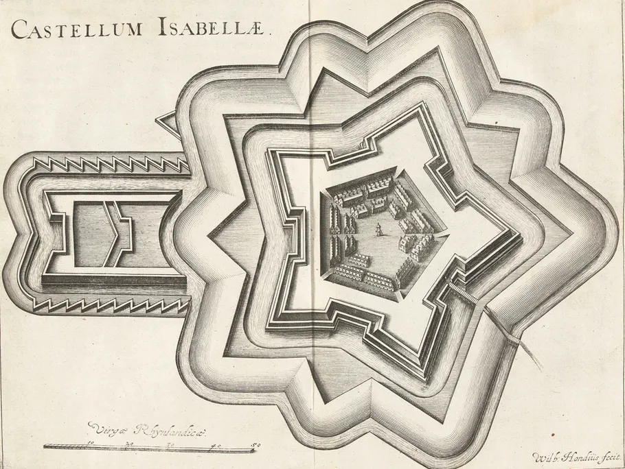 Fort Isabella Historic site, Gemeente Vught17 km E
-
Sint Michielsgestel Concentration Camp Historic site, Sint-Michielsgestel Municipality22 km E
Sources & licences
Data last updated: · 2 independent sources