- Elevation
- 20 m
- above sea level
- Local time
- UTC+01:00
- Europe/Amsterdam · UTC+01:00
- Airports
- EIN Eindhoven Airport28 km
- NRN Weeze (Niederrhein) Airport32 km
About Burgt
Burgt is a village. Location: Boekel Municipality, North Brabant. Elevation: 20 m. The best months to visit are June–August. The nearest airport is Eindhoven Airport (28 km). Nearby sights include Philips Stadium and Kasteel Helmond.
Climate of Burgt
Best months for sightseeingBest months for sightseeing: June–August.
This month · November
A cold month
Day 9° · Night 3° · Rain 71 mm
- Hottest month
- August (day 23°)
- Coldest month
- February (night 0°)
- Wettest month
- December (72 mm)
- Driest month
- April (45 mm)
Bars: average monthly low and high temperature. Below: precipitation. Monthly averages for 1970–2000 at about 18 km resolution, adjusted for elevation. Highlighted months are mild and relatively dry. Source: WorldClim 2.1 (CC BY 4.0).
Show values as a table
| Month | Jan | Feb | Mar | Apr | May | Jun | Jul | Aug | Sep | Oct | Nov | Dec |
|---|---|---|---|---|---|---|---|---|---|---|---|---|
| Average high (°C) | 5° | 6° | 10° | 13° | 18° | 21° | 23° | 23° | 19° | 14° | 9° | 6° |
| Average low (°C) | 0° | 0° | 2° | 4° | 8° | 10° | 12° | 12° | 10° | 6° | 3° | 1° |
| Precipitation (mm) | 66 | 50 | 66 | 45 | 59 | 71 | 63 | 56 | 68 | 64 | 71 | 72 |
How to get to Burgt
The nearest airport is Eindhoven Airport (EIN), 28 km to the southwest as the crow flies. The nearest large city is Eindhoven, 23 km to the southwest.
Airports
- Eindhoven Airport (EIN) Eindhoven 28 kmsouthwest
- Weeze (Niederrhein) Airport (NRN) Weeze 32 kmeast
- Maastricht Aachen Airport (MST) Maastricht 78 kmsouth
Nearby large cities
- Eindhoven Population: 235.7K 23 kmsouthwest
- 's-Hertogenbosch Population: 160.8K 28 kmwest
- Nijmegen Population: 177.4K 29 kmnortheast
- Tilburg Population: 221.9K 41 kmwest
- Venlo Population: 102K 43 kmsoutheast
Straight-line distances; road distances are longer. Airport data: OurAirports.
Day trips from Burgt
Within 100 km: 295 historic and cultural sites, 478 natural sites, 515 lakes, rivers and coasts.
0–25 km16 places
- Eckelsche Beek River 23 kmE
- Wolfsberg Mountain 24 kmNE
- Vliegenberg Mountain 23 kmE
- Sint Jansberg Mountain 23 kmNE
25–60 km302 places
- Zandbergen Natural site 60 kmSW
- Zeven-Heerlijkhedenheide Natural site 50 kmSW
- Wegmeerheide Natural site 55 kmSW
- Warandeheide Natural site 48 kmSW
60–100 km970 places
- IJsselmonde Island 85 kmW
- Putjensberg Mountain 91 kmN
- Putse Moer Lake 90 kmW
- Stappensven Lake 89 kmW
Straight-line distances.
Nearby attractions & nature
Everything nearby-
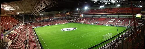 Philips Stadium Landmark, Eindhoven Municipality24 km SW
-
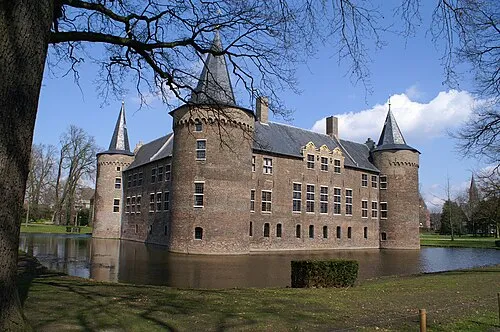 Kasteel Helmond Historic site, Gemeente Helmond15 km S
-
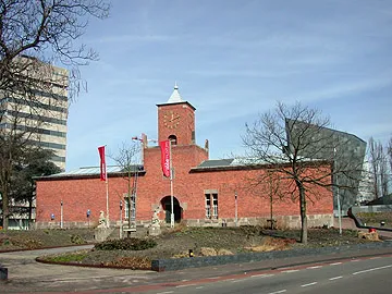 Van Abbe museum Museum, Eindhoven Municipality24 km SW
-
Hondsberg Mountain, Land van Cuijk16 km E
-
Sint Michielsgestel Concentration Camp Historic site, Sint-Michielsgestel Municipality23 km W
-
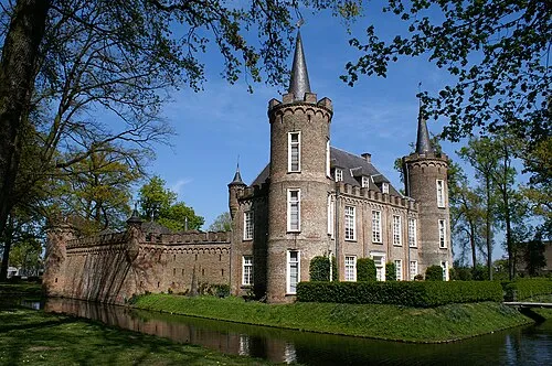 Henkenshage Historic site, Meierijstad16 km W
Sources & licences
Data last updated: · 2 independent sources