- Population
- 15,899
- 15.9K
- Elevation
- 4 m
- above sea level
- Local time
- UTC+01:00
- Europe/Amsterdam · UTC+01:00
- Airports
- EIN Eindhoven Airport30 km
- RTM Rotterdam The Hague Airport61 km
About Vlijmen
Vlijmen is a village. Location: Gemeente Heusden, North Brabant. Population: 15,899. Elevation: 4 m.
Vlijmen (Dutch pronunciation: [ˈvlɛimə(n)] ) is a town in the Dutch province of North Brabant. It is located in the municipality of Heusden, about 6 km west of 's-Hertogenbosch. Vlijmen was a separate municipality between 1821 and 1997. It was created from part of the former municipality Vlijmen en Engelen. After Haarsteeg and Nieuwkuijk were added to it in 1935, Vlijmen as municipality ceased to exist when it became part of Heusden in 1997.
Source: Wikipedia · CC BY-SA 4.0
Population of Vlijmen over time
| 1869 | 3,135 | |
|---|---|---|
| 1879 | 3,389 | |
| 1889 | 3,455 | |
| 1899 | 3,440 | |
| 1909 | 3,641 | |
| 1920 | 3,897 | |
| 1930 | 4,159 | |
| 1947 | 7,683 | |
| 1960 | 9,783 | |
| 1971 | 12,595 | |
| 1980 | 14,033 | |
| 1990 | 15,899 |
Censuses and official estimates; source: Wikidata.
Climate of Vlijmen
Best months for sightseeingBest months for sightseeing: June–August.
This month · November
A cold month
Day 9° · Night 3° · Rain 75 mm
- Hottest month
- August (day 23°)
- Coldest month
- February (night 0°)
- Wettest month
- November (75 mm)
- Driest month
- April (45 mm)
Bars: average monthly low and high temperature. Below: precipitation. Monthly averages for 1970–2000 at about 18 km resolution, adjusted for elevation. Highlighted months are mild and relatively dry. Source: WorldClim 2.1 (CC BY 4.0).
Show values as a table
| Month | Jan | Feb | Mar | Apr | May | Jun | Jul | Aug | Sep | Oct | Nov | Dec |
|---|---|---|---|---|---|---|---|---|---|---|---|---|
| Average high (°C) | 6° | 6° | 10° | 13° | 18° | 20° | 23° | 23° | 19° | 14° | 9° | 7° |
| Average low (°C) | 0° | 0° | 2° | 4° | 8° | 10° | 12° | 12° | 10° | 6° | 3° | 1° |
| Precipitation (mm) | 68 | 50 | 67 | 45 | 61 | 70 | 69 | 57 | 71 | 70 | 75 | 73 |
How to get to Vlijmen
The nearest airport is Eindhoven Airport (EIN), 30 km to the south as the crow flies. The nearest large city is 's-Hertogenbosch, 6 km to the east.
Airports
- Eindhoven Airport (EIN) Eindhoven 30 kmsouth
- Rotterdam The Hague Airport (RTM) Rotterdam 61 kmnorthwest
- Weeze (Niederrhein) Airport (NRN) Weeze 65 kmeast
Nearby large cities
- 's-Hertogenbosch Population: 160.8K 6 kmeast
- Tilburg Population: 221.9K 18 kmsouthwest
- Breda Population: 184.1K 33 kmwest
- Eindhoven Population: 235.7K 34 kmsoutheast
- Dordrecht Population: 119.3K 40 kmwest
Straight-line distances; road distances are longer. Airport data: OurAirports.
Day trips from Vlijmen
Within 100 km: 262 historic and cultural sites, 378 natural sites, 499 lakes, rivers and coasts.
0–25 km13 places
- Poppelsche Leij River 22 kmS
- Schoonberg Mountain 13 kmSE
- Patersberg Mountain 8 kmSE
- Fort Isabella Historic site 6 kmSE
25–60 km200 places
- IJsselmonde Island 52 kmW
- Zandbergen Natural site 53 kmS
- Zeven-Heerlijkhedenheide Natural site 48 kmS
- Wegmeerheide Natural site 37 kmSW
60–100 km926 places
- Putjensberg Mountain 95 kmNE
- Putse Moer Lake 65 kmSW
- Stappensven Lake 63 kmSW
- Kleine Weel Lake 85 kmSW
Straight-line distances.
Nearby attractions & nature
Everything nearby-
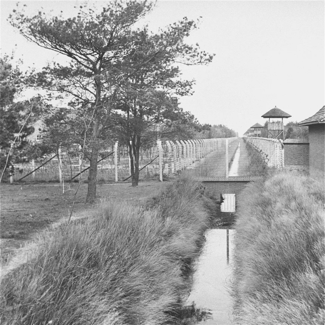 Herzogenbusch Concentration Camp Historic site, Gemeente Vught4.5 km SE
-
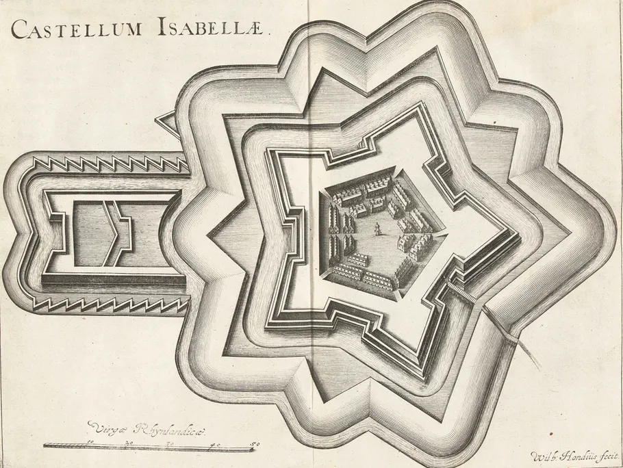 Fort Isabella Historic site, Gemeente Vught5.6 km SE
-
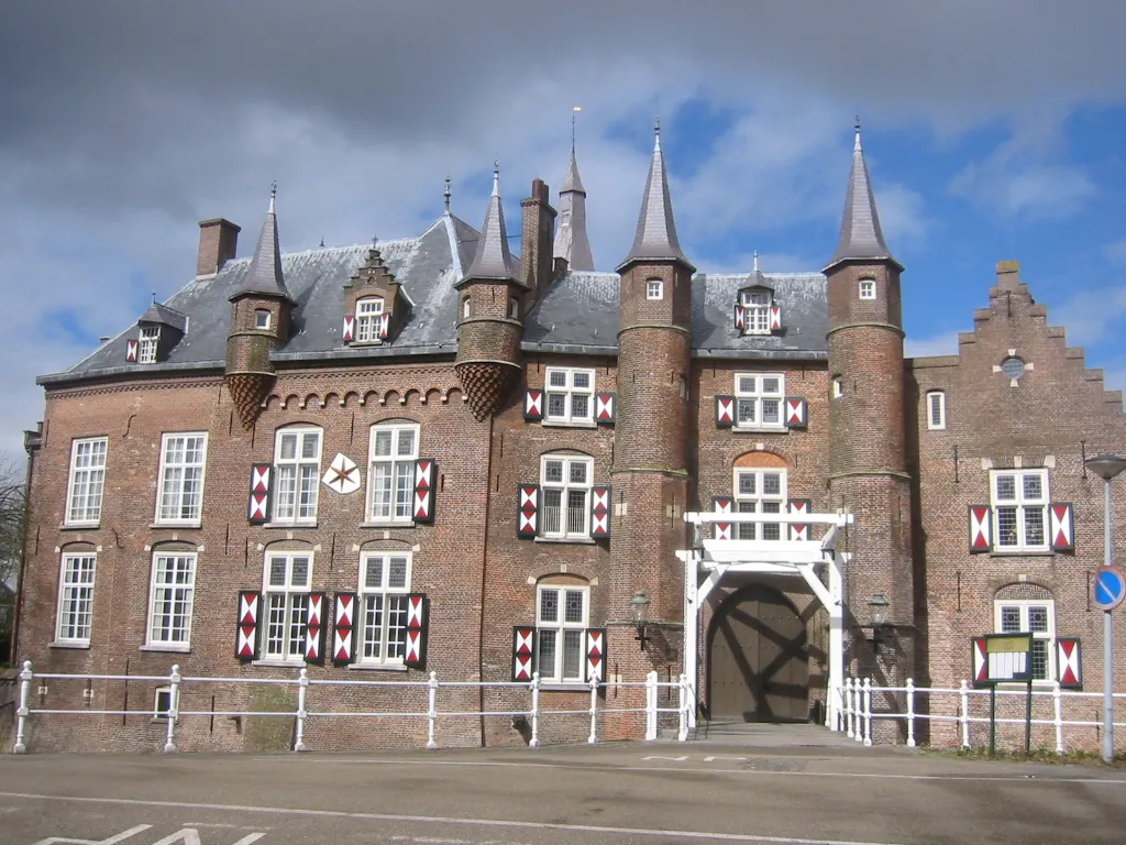 Kasteel Maurick Historic site, Gemeente Vught7.6 km SE
-
Herzogenbusch Concentration Camp (Continental) Historic site, Gemeente 's-Hertogenbosch6 km E
-
Patersberg Mountain, Sint-Michielsgestel Municipality8 km SE
-
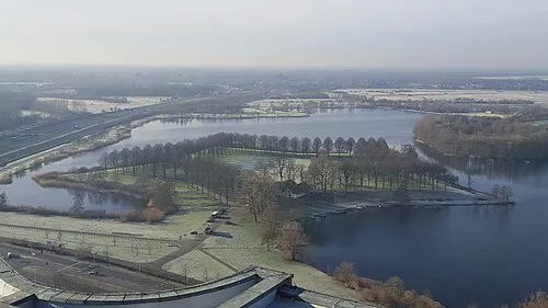 Pettelaarse Schans Historic site, Gemeente 's-Hertogenbosch7.8 km E
Sources & licences
Data last updated: · 2 independent sources