IJburg
Local name: IJburg
Located in Gemeente Amsterdam, North Holland Coordinates: 52°21′17″ N 4°59′54″ E
- Elevation
- 1 m
- above sea level
- Local time
- UTC+01:00
- Europe/Amsterdam · UTC+01:00
- Airports
- AMS Amsterdam Airport Schiphol17 km
- RTM Rotterdam The Hague Airport59 km
About IJburg
IJburg is a neighbourhood. Location: Gemeente Amsterdam, North Holland.
IJburg (Dutch pronunciation: [ˈɛibʏr(ə)x]) is a residential neighbourhood under construction in Amsterdam, Netherlands. It is situated in the IJmeer and is being built on artificial islands which have been raised from the lake. The Haveneiland, Rieteilanden, Steigereiland and Centrumeiland are already inhabited as of 2004. It is part of Amsterdam-Oost and lies adjacent to Diemerpark, one of the city's largest parks.
Source: Wikipedia · CC BY-SA 4.0
Photos of IJburg
-
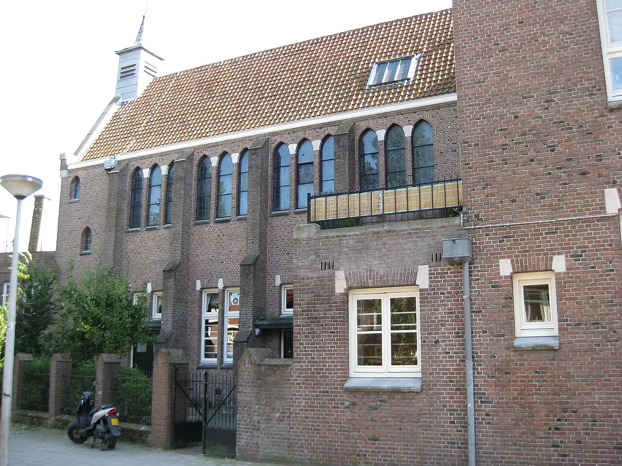
Sint Rosaklooster Marion Golsteijn · CC BY-SA 3.0 nl -
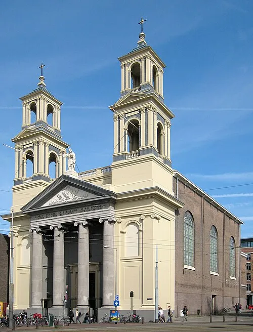
Mozes en Aäronkerk S Sepp · CC BY-SA 3.0 -
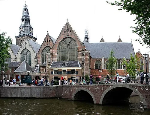
Oude Kerk Gerd Eichmann · CC BY-SA 4.0 -
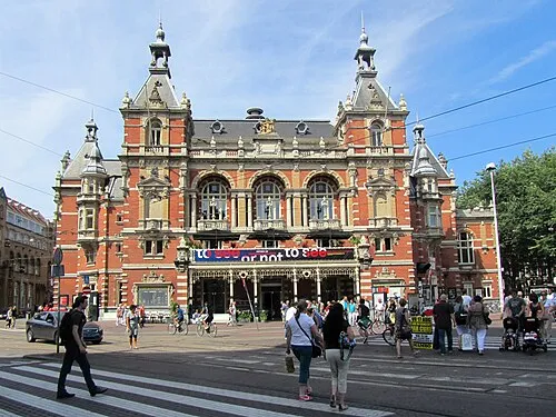
Stadsschouwburg Amsterdam Jvhertum · CC BY-SA 3.0 -
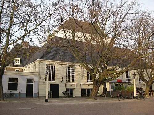
Amstelkerk Marion Golsteijn · CC BY-SA 3.0


Climate of IJburg
Best months for sightseeingBest months for sightseeing: June–August.
This month · November
A cold month
Day 9° · Night 4° · Rain 95 mm
- Hottest month
- August (day 22°)
- Coldest month
- February (night 0°)
- Wettest month
- November (95 mm)
- Driest month
- April (46 mm)
Bars: average monthly low and high temperature. Below: precipitation. Monthly averages for 1970–2000 at about 18 km resolution, adjusted for elevation. Highlighted months are mild and relatively dry. Source: WorldClim 2.1 (CC BY 4.0).
Show values as a table
| Month | Jan | Feb | Mar | Apr | May | Jun | Jul | Aug | Sep | Oct | Nov | Dec |
|---|---|---|---|---|---|---|---|---|---|---|---|---|
| Average high (°C) | 6° | 6° | 9° | 12° | 17° | 19° | 21° | 22° | 18° | 14° | 9° | 7° |
| Average low (°C) | 1° | 0° | 3° | 4° | 8° | 11° | 13° | 13° | 10° | 7° | 4° | 2° |
| Precipitation (mm) | 71 | 52 | 66 | 46 | 53 | 69 | 70 | 63 | 87 | 91 | 95 | 85 |
How to get to IJburg
The nearest airport is Amsterdam Airport Schiphol (AMS), 17 km to the west as the crow flies. The nearest large city is Amsterdam, 8 km to the west.
Airports
- Amsterdam Airport Schiphol (AMS) Amsterdam 17 kmwest
- Rotterdam The Hague Airport (RTM) Rotterdam 59 kmsouthwest
- Eindhoven Airport (EIN) Eindhoven 104 kmsouth
Nearby large cities
- Amsterdam Population: 741.6K 8 kmwest
- Almere Stad Population: 176.4K 15 kmeast
- Zaanstad Population: 140.1K 17 kmnorthwest
- Hoofddorp Population: 132.7K 22 kmwest
- Haarlem Population: 162.5K 25 kmwest
Straight-line distances; road distances are longer. Airport data: OurAirports.
Day trips from IJburg
Within 100 km: 140 historic and cultural sites, 109 natural sites, 32 lakes, rivers and coasts.
0–25 km63 places
- Zwarte Berg Mountain 22 kmSE
- Hoorneboeg Mountain 21 kmSE
- Eikenberg Mountain 16 kmE
- Bait-ul-Afiyat Attraction 11 kmE
25–60 km76 places
- Strandslag Voordijk Beach 59 kmN
- Strandslag Sint Maartenszee Beach 54 kmNW
- Strandslag Petten Beach 52 kmNW
- Strandslag Callantsoog Beach 57 kmN
60–100 km142 places
- IJsselmonde Island 64 kmSW
- Texel Island 82 kmN
- Putjensberg Mountain 68 kmE
- Poppelsche Leij River 93 kmS
Straight-line distances.
Nearby attractions & nature
Everything nearby-
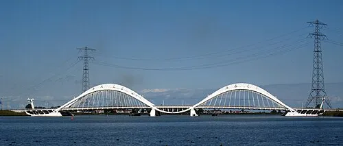 Enneüs Heerma Bridge Landmark, North Holland1.9 km NW
-
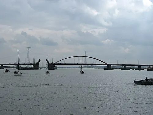 Schellingwouderbrug Landmark, North Holland3.4 km NW
-
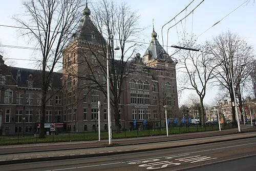 Tropenmuseum Museum, Gemeente Amsterdam5.2 km W
-
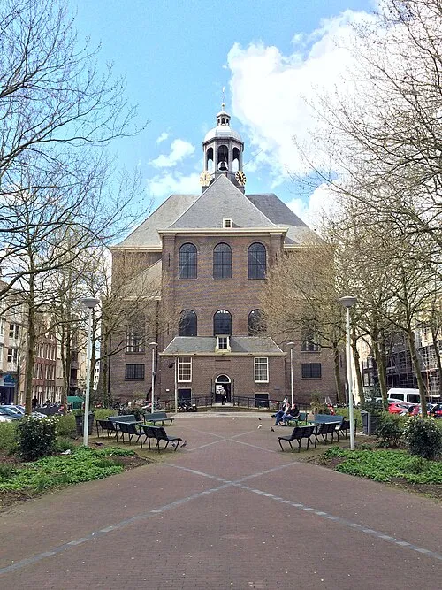 Oosterkerk Attraction, Gemeente Amsterdam5.6 km W
-
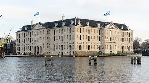 Nederlands Scheepvaartmuseum Museum, Gemeente Amsterdam6 km W
-
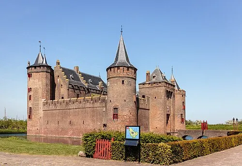 Muiderslot Historic site, Gooise Meren5.5 km SE
Sources & licences
Data last updated: · 2 independent sources