Broek in Waterland
Located in Gemeente Waterland, North Holland Coordinates: 52°26′03″ N 4°59′45″ E

- Population
- 3,150
- 3.2K
- Elevation
- 0 m
- above sea level
- Local time
- UTC+01:00
- Europe/Amsterdam · UTC+01:00
- Airports
- AMS Amsterdam Airport Schiphol21 km
- RTM Rotterdam The Hague Airport65 km
About Broek in Waterland
Broek in Waterland is a village. Location: Gemeente Waterland, North Holland. Population: 3,150. Elevation: 0 m.
Broek in Waterland is a village in the province of North Holland, Netherlands, with a population of about 2,745 inhabitants as of 2021. It is a part of the municipality of Waterland, and is situated about 8 km (5 miles) south of Purmerend and 8 km (5 miles) northeast of Amsterdam. In the 17th and 18th century, the village was a popular residence for merchants and seafarers from Amsterdam. Due to its monument status, much of its history has been preserved.
Source: Wikipedia · CC BY-SA 4.0
At a glance
- Area
- 38 ha
Source: Wikidata
Photos of Broek in Waterland
-

Rijksmuseum · CC0 -

Hnapel · CC0 -

Jeremy Burgin · CC BY-SA 2.0 -

Unknown author Unknown author · CC BY-SA 4.0 -

Dqfn13 · CC BY-SA 4.0


Climate of Broek in Waterland
Best months for sightseeingBest months for sightseeing: June–August.
This month · November
A cold month
Day 9° · Night 4° · Rain 95 mm
- Hottest month
- August (day 22°)
- Coldest month
- February (night 0°)
- Wettest month
- November (95 mm)
- Driest month
- April (46 mm)
Bars: average monthly low and high temperature. Below: precipitation. Monthly averages for 1970–2000 at about 18 km resolution, adjusted for elevation. Highlighted months are mild and relatively dry. Source: WorldClim 2.1 (CC BY 4.0).
Show values as a table
| Month | Jan | Feb | Mar | Apr | May | Jun | Jul | Aug | Sep | Oct | Nov | Dec |
|---|---|---|---|---|---|---|---|---|---|---|---|---|
| Average high (°C) | 6° | 6° | 9° | 12° | 17° | 19° | 21° | 22° | 18° | 14° | 9° | 7° |
| Average low (°C) | 1° | 0° | 3° | 4° | 8° | 11° | 13° | 13° | 10° | 7° | 4° | 2° |
| Precipitation (mm) | 71 | 52 | 66 | 46 | 53 | 69 | 70 | 63 | 87 | 91 | 95 | 85 |
How to get to Broek in Waterland
The nearest airport is Amsterdam Airport Schiphol (AMS), 21 km to the southwest as the crow flies. The nearest large city is Amsterdam, 10 km to the southwest.
Airports
- Amsterdam Airport Schiphol (AMS) Amsterdam 21 kmsouthwest
- Rotterdam The Hague Airport (RTM) Rotterdam 65 kmsouthwest
- Eindhoven Airport (EIN) Eindhoven 113 kmsouth
Nearby large cities
- Amsterdam Population: 741.6K 10 kmsouthwest
- Zaanstad Population: 140.1K 13 kmwest
- Almere Stad Population: 176.4K 16 kmsoutheast
- Haarlem Population: 162.5K 25 kmwest
- Hoofddorp Population: 132.7K 26 kmsouthwest
Straight-line distances; road distances are longer. Airport data: OurAirports.
Day trips from Broek in Waterland
Within 100 km: 137 historic and cultural sites, 95 natural sites, 24 lakes, rivers and coasts.
0–25 km59 places
- Eikenberg Mountain 21 kmSE
- Bait-ul-Afiyat Attraction 15 kmSE
- Obrechtkerk Attraction 12 kmSW
- Noorderkerk Attraction 10 kmSW
25–60 km74 places
- Strandslag Zandloper Beach 55 kmN
- Strandslag Voordijk Beach 50 kmNW
- Strandslag Sint Maartenszee Beach 46 kmNW
- Strandslag Petten Beach 44 kmNW
60–100 km123 places
- IJsselmonde Island 71 kmSW
- Texel Island 73 kmN
- Putjensberg Mountain 68 kmE
- Wijlermeer Lake 95 kmSE
Straight-line distances.
Nearby attractions & nature
Everything nearby-
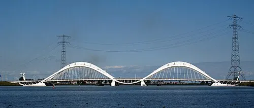 Enneüs Heerma Bridge Landmark, North Holland7.8 km S
-
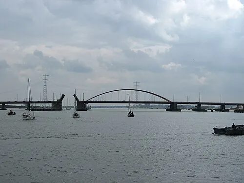 Schellingwouderbrug Landmark, North Holland6.5 km S
-
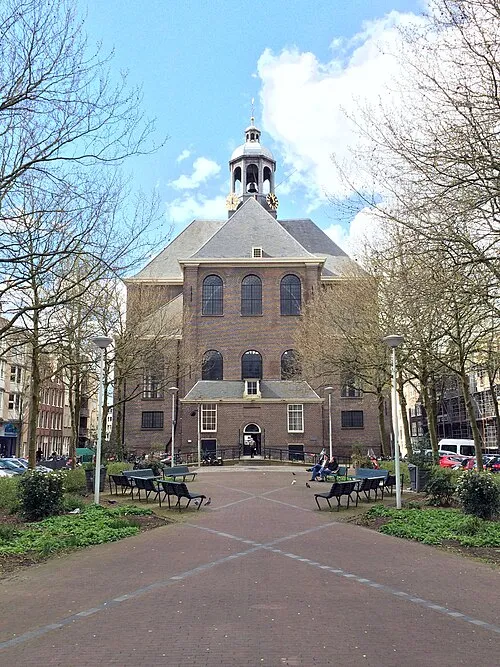 Oosterkerk Attraction, Gemeente Amsterdam8.8 km SW
-
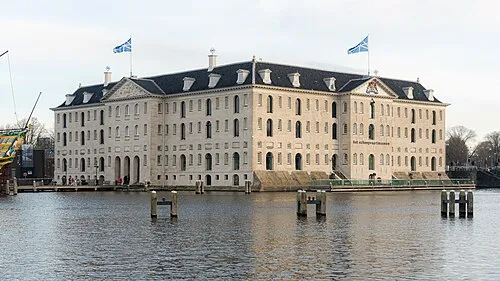 Nederlands Scheepvaartmuseum Museum, Gemeente Amsterdam8.9 km SW
-
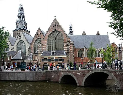 Oude Kerk Attraction, Gemeente Amsterdam9.4 km SW
-
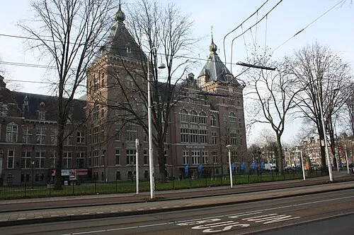 Tropenmuseum Museum, Gemeente Amsterdam9.4 km SW
Other cities and towns in Gemeente Waterland


Sources & licences
Data last updated: · 2 independent sources