- Population
- 7,325
- 7.3K
- Elevation
- 3 m
- above sea level
- Local time
- UTC+01:00
- Europe/Amsterdam · UTC+01:00
- Airports
- AMS Amsterdam Airport Schiphol21 km
- RTM Rotterdam The Hague Airport60 km
About Muiden
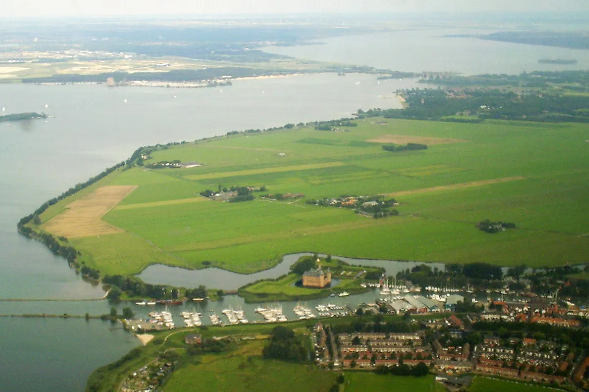
Muiden is a town. Location: Gooise Meren, North Holland. Population: 7,325. Elevation: 3 m.
Muiden (Dutch pronunciation: [ˈmœydə(n)] ) is a city and former municipality in the Netherlands, in the province of North Holland. It lies at the mouth of the Vecht and is in an area called the Vechtstreek. Since 2016, Muiden has been part of the new municipality of Gooise Meren.
Source: Wikipedia · CC BY-SA 4.0
Photos of Muiden
-

Agnes Monkelbaan · CC BY-SA 4.0 -

Steven Lek · CC BY-SA 4.0 -

Agnes Monkelbaan · CC BY-SA 4.0 -

Agnes Monkelbaan · CC BY-SA 4.0 -

Agnes Monkelbaan · CC BY-SA 4.0


Travel notes for Muiden
From Wikivoyage
Muiden is a pleasant town in the Netherlands of approximately 7,200 people (2021), on the shores of the IJmeer, at the mouth of the Vecht river. The town is known for its yacht harbour and for its historic castle, the Muiderslot. Its proximity to Amsterdam - it is just 12 km east of the city centre - makes it a good day trip for anyone looking to get out of the city.
Get in+
By train and bus:
Bus 110 from Weesp railway station. Perhaps the fastest way to reach Muiden from Amsterdam is to take the train to Weesp station, and then bus 110. The bus stop is in front of the station, the service is roughly every hour, with a few 1/2-hour internals during rush hours. The ride to Muiden takes about 5 minutes. (updated Jul 2016)
Buses 320, 322 and 327 from Amsterdam Amstel station (direction Blaricum). These buses stop at the Muiden Park & Ride stop at the edge of the town. From there take a 10-min walk to the town centre. Buses depart every half hour. Free Wi-Fi on the bus. (updated Jul 2016)
By car:
There are large parking areas on the outskirts of Muiden. It's not worth taking your car into the town. There are only two bridges across the river Vecht here, the motorway and a narrow swing bridge: on Sundays the narrow bridge is closed to cars.
By bicycle:
It takes about an hour to cycle from central Amsterdam to Muiden.
You can also take the train to Weesp, rent a bike at that railway station, and cycle to Muiden (2 km).
Source: Wikivoyage · CC BY-SA 4.0 · abridged
Places bordering Muiden
- Diemen Municipality
- Weesp
Climate of Muiden
Best months for sightseeingBest months for sightseeing: June–August.
This month · November
A cold month
Day 9° · Night 3° · Rain 87 mm
- Hottest month
- August (day 22°)
- Coldest month
- February (night 0°)
- Wettest month
- November (87 mm)
- Driest month
- April (46 mm)
Bars: average monthly low and high temperature. Below: precipitation. Monthly averages for 1970–2000 at about 18 km resolution, adjusted for elevation. Highlighted months are mild and relatively dry. Source: WorldClim 2.1 (CC BY 4.0).
Show values as a table
| Month | Jan | Feb | Mar | Apr | May | Jun | Jul | Aug | Sep | Oct | Nov | Dec |
|---|---|---|---|---|---|---|---|---|---|---|---|---|
| Average high (°C) | 5° | 6° | 9° | 12° | 17° | 19° | 21° | 22° | 18° | 14° | 9° | 7° |
| Average low (°C) | 0° | 0° | 2° | 4° | 8° | 10° | 12° | 12° | 10° | 7° | 3° | 1° |
| Precipitation (mm) | 69 | 52 | 65 | 46 | 58 | 70 | 71 | 59 | 80 | 83 | 87 | 82 |
How to get to Muiden
The nearest airport is Amsterdam Airport Schiphol (AMS), 21 km to the west as the crow flies. The nearest large city is Almere Stad, 11 km to the northeast.
Airports
- Amsterdam Airport Schiphol (AMS) Amsterdam 21 kmwest
- Rotterdam The Hague Airport (RTM) Rotterdam 60 kmsouthwest
- Eindhoven Airport (EIN) Eindhoven 100 kmsouth
Nearby large cities
- Almere Stad Population: 176.4K 11 kmnortheast
- Amsterdam Population: 741.6K 13 kmwest
- Zaanstad Population: 140.1K 22 kmnorthwest
- Hoofddorp Population: 132.7K 26 kmwest
- Utrecht Population: 376.4K 27 kmsouth
Straight-line distances; road distances are longer. Airport data: OurAirports.
Day trips from Muiden
Within 100 km: 141 historic and cultural sites, 112 natural sites, 38 lakes, rivers and coasts.
0–25 km60 places
- Zwarte Berg Mountain 17 kmSE
- Hoorneboeg Mountain 16 kmSE
- Eikenberg Mountain 10 kmE
- Bait-ul-Afiyat Attraction 7 kmE
25–60 km87 places
- Strandslag Sint Maartenszee Beach 59 kmNW
- Strandslag Petten Beach 56 kmNW
- Zwarte Berg Mountain 46 kmE
- Waterberg Mountain 60 kmE
60–100 km144 places
- IJsselmonde Island 64 kmSW
- Texel Island 85 kmN
- Putjensberg Mountain 64 kmE
- Poppelsche Leij River 91 kmS
Straight-line distances.
Nearby attractions & nature
Everything nearby-
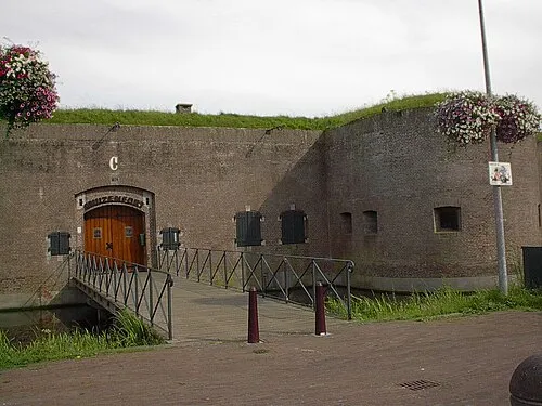 Mouse Fort Historic site, Gooise Meren0.2 km E
-
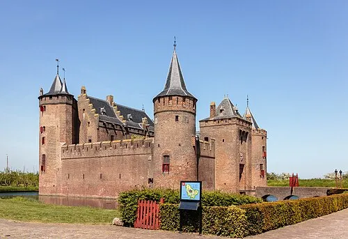 Muiderslot Historic site, Gooise Meren0.5 km N
-
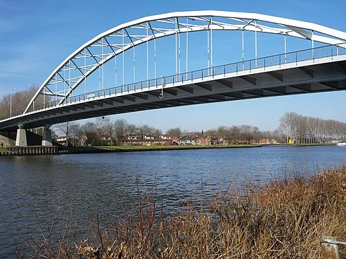 Weesperbrug Landmark, Gemeente De Ronde Venen4.5 km SW
-
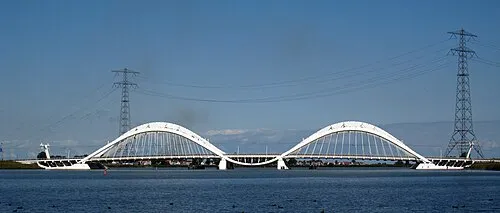 Enneüs Heerma Bridge Landmark, North Holland7.5 km NW
-
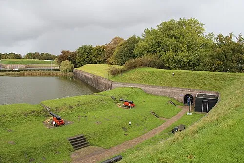 Dutch Fortress Museum Historic site, Gooise Meren7.4 km SE
-
Bait-ul-Afiyat Attraction, Gemeente Almere6.6 km E
-
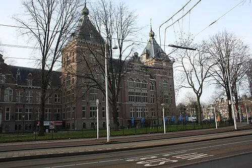 Tropenmuseum Museum, Gemeente Amsterdam11 km W
-
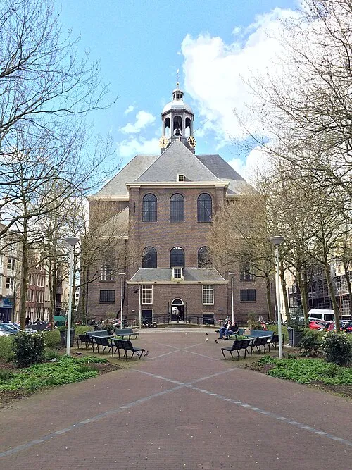 Oosterkerk Attraction, Gemeente Amsterdam11 km NW
Sources & licences
Data last updated: · 2 independent sources