Hengelo Municipality
Located in Overijssel, The Netherlands Coordinates: 52°15′33″ N 6°46′44″ E
- Population
- 102,773
- 102.8K
- Elevation
- 18 m
- above sea level
- Local time
- UTC+01:00
- Europe/Amsterdam · UTC+01:00
- Places inside
- 4
- listed under Hengelo Municipality
About Hengelo Municipality
Hengelo Municipality is a district. Location: Overijssel, The Netherlands. Population: 102,773.
Hengelo (Dutch: [ˈɦɛŋəloː] ; Tweants: Hengel) is a city in the eastern part of the Netherlands, in the Twente region, in the province of Overijssel. It is part of a larger urban area that also includes Enschede, Borne, Almelo and Oldenzaal. Due to its geomorphology, being situated relatively low in the landscape, Hengelo is a place where streams converge. By consequence, it became a crossroad, inhabited early on in history, which has made it into an infrastructural hub and an industrial centre today.
Read more on Wikipedia Text: Wikipedia contributors · CC BY-SA 4.0 · shortened
At a glance
- Area
- 61.8 km²
Source: Wikidata
In comparison
- Listed here: Village: 2, City: 1, Neighbourhood: 1
Places in Hengelo Municipality
4 places-
Hengelo City82.3K
-
Woolde Village1.7K
-
Klein Driene Neighbourhood1.5K
-
Oele Village
Nearby attractions & nature
Everything nearby-
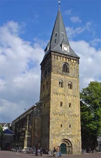 Grote Kerk Attraction, Enschede Municipality9.1 km SE
-
Kersberg Mountain, Gemeente Dinkelland19 km N
-
Paasberg Mountain, Losser Municipality15 km NE
-
Tutenberg Mountain, Tubbergen Municipality20 km N
-
Braamberg Mountain, Tubbergen Municipality20 km N
-
Galgenberg Mountain, Lower Saxony22 km N
Sources & licences
Data last updated: · 2 independent sources