Appingedam
Located in Eemsdelta Municipality, Province of Groningen Coordinates: 53°19′18″ N 6°51′30″ E
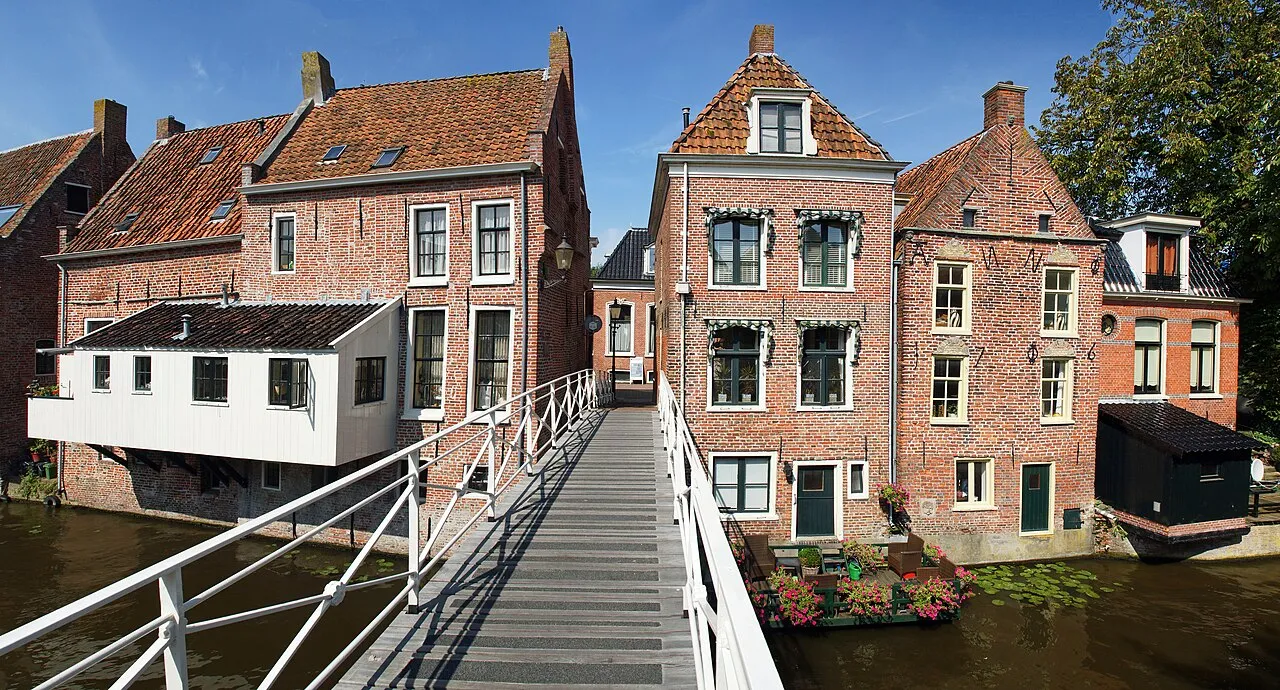
- Population
- 12,364
- 12.4K
- Elevation
- 2 m
- above sea level
- Local time
- UTC+01:00
- Europe/Amsterdam · UTC+01:00
- Airports
- GRQ Groningen Airport Eelde29 km
- FCN Sea-Airport Cuxhaven/Nordholz / Nordholz Naval Airbase129 km
About Appingedam
Appingedam is a town. Location: Eemsdelta Municipality, Province of Groningen. Population: 12,364. Elevation: 2 m.
Appingedam (Dutch: [ˌɑpɪŋəˈdɑm] ; Gronings: n Daam [n̩ˈdaːm]) is a city and former municipality in the northeastern Netherlands. Although there is no certainty as to the exact age of Appingedam, historical research demonstrates that the place in which the city would eventually be built had been inhabited for over a millennium. Specifically, the area in which the earliest traces of human settlements have been reported is the Wierde, a quarter located in the northern part of the city centre.
Source: Wikipedia · CC BY-SA 4.0
Photos of Appingedam
-

Rob Koster · CC BY-SA 4.0 -

Ben Bender · CC BY-SA 3.0 -

Tomodovodoo · Public domain -

Chris Booms · CC BY-SA 4.0 -

Chris Booms · CC BY-SA 4.0


Travel notes for Appingedam
From Wikivoyage
Appingedam is a small city in Groningen, one of the northern provinces of The Netherlands. It has just over 12.000 inhabitants and is one of the main destinations for tourists in the region. It is a charming town with many medieval buildings in the centre and a good number of activities in the summer months.
Understand+
Its strategic location on the river Delf made Appingedam an economic and judicial centre in Medieval times. It flourished through trade, as it had an open water connection to the sea and became the seat of regional law administration. Its historic wealth remains well visible today, through the many remarkable façades in the town centre. In a way those remains of past welfare is a major aspect of Appingedam's economy today, as tourism is a large source of income.
Tourist office:
1 VVV Appingedam, Oudekerkstraat 1, ☏ +31 596 620300, vvvappingedam@topvangroningen.nl. Mon 13:30-17:00, Tue-Fri 09:30-17:00, Sat 11:00-16:00. The tourist offices in the Eemsdelta region are cooperating under the name 'Top of Groningen'. The local Tourist Information Office is in the city centre, opposite the Nicolaï church. The Tourist Information Office shop provides information about the city and the province.
Get in+
By car:
Appingedam is easily reachable by car. The N33 expressway leads to Appingedam from Assen via the A7 motorway interchange at Zuidbroek. Another key road is the N360 trunk road that leads from Groningen city via Appingedam to Delfzijl. From Groningen city the drive to Appingedam takes about 30 minutes.
By public transport:
There is a railway station in Appingedam along the railway from Groningen to Delfzijl. The train service, operated by Arriva, runs twice per hour both ways. The railway station is 800 meters north of the city centre. Travelling from Groningen will take about 30 minutes (€6.60). To reach Appingedam from other destinations in the Netherlands (or abroad), a transfer at Groningen's main station is required. From Amsterdam Centraal, the trip takes about 2hr 40min (2 transfers, €26.30), while from Schiphol Airport the trip takes 2hr 45min (1 transfer, €26.20).
Alternatively, there are a number of bus services to a lot of towns in the region. The bus services are all operated by Qbuzz. Appingedam's main bus stop is not at the railway station, and not all bus routes call at the railway station. From Groningen city the train is usually the best option to get to Appingedam, but the buses are useful from destinations inbetween.
2 Station Appingedam (railway station), Spoorbaan 2, Appingedam. (updated Aug 2016)
3 Busstation Appingedam (bus station), Farmsumerweg 212, Appingedam. (updated Aug 2016)
The most relevant bus routes include:
Bus route Q-link 6 (1-2x/hour, in rush hours up to 6x/hour) from Groningen via Appingedam to Delfzijl.
Bus route 61 (1-2x/hour) from Groningen via Bedum, Middelstum, Uithuizen and Appingedam to Delfzijl.
Bus route 178 (1-2x/hour, in rush hours up to 4x/hour) from Groningen via Midden-Groningen (Slochteren, Siddeburen) to Appingedam.
Source: Wikivoyage · CC BY-SA 4.0 · abridged
Population of Appingedam over time
| 1947 | 7,176 | |
|---|---|---|
| 1960 | 9,738 | |
| 1971 | 11,826 | |
| 1980 | 12,894 | |
| 1990 | 12,508 | |
| 2000 | 12,434 | |
| 2010 | 12,090 | |
| 2016 | 12,007 | |
| 2017 | 11,971 | |
| 2018 | 11,801 | |
| 2019 | 11,721 | |
| 2020 | 11,642 |
Censuses and official estimates; source: Wikidata.
Climate of Appingedam
Best months for sightseeingBest months for sightseeing: June–August.
This month · November
A cold month
Day 9° · Night 3° · Rain 78 mm
- Hottest month
- August (day 22°)
- Coldest month
- February (night 0°)
- Wettest month
- November (78 mm)
- Driest month
- February (44 mm)
Bars: average monthly low and high temperature. Below: precipitation. Monthly averages for 1970–2000 at about 18 km resolution, adjusted for elevation. Highlighted months are mild and relatively dry. Source: WorldClim 2.1 (CC BY 4.0).
Show values as a table
| Month | Jan | Feb | Mar | Apr | May | Jun | Jul | Aug | Sep | Oct | Nov | Dec |
|---|---|---|---|---|---|---|---|---|---|---|---|---|
| Average high (°C) | 4° | 5° | 8° | 12° | 17° | 19° | 21° | 22° | 18° | 13° | 9° | 6° |
| Average low (°C) | 0° | 0° | 2° | 4° | 8° | 10° | 13° | 13° | 10° | 7° | 3° | 1° |
| Precipitation (mm) | 65 | 44 | 60 | 44 | 54 | 75 | 75 | 65 | 73 | 72 | 78 | 73 |
How to get to Appingedam
The nearest airport is Groningen Airport Eelde (GRQ), 29 km to the southwest as the crow flies. The nearest large city is Groningen, 23 km to the southwest.
Airports
- Groningen Airport Eelde (GRQ) Groningen 29 kmsouthwest
- Sea-Airport Cuxhaven/Nordholz / Nordholz Naval Airbase (FCN) Wurster Nordseeküste 129 kmnortheast
- Bremen Airport (BRE) Bremen 133 kmeast
Nearby large cities
- Groningen Population: 244.8K 23 kmsouthwest
- Leeuwarden Population: 124.5K 71 kmwest
- Oldenburg Population: 159.2K 93 kmeast
- Zwolle Population: 129.8K 104 kmsouthwest
- Bremerhaven Population: 118.6K 117 kmeast
Straight-line distances; road distances are longer. Airport data: OurAirports.
Day trips from Appingedam
Within 100 km: 98 historic and cultural sites, 398 natural sites, 303 lakes, rivers and coasts.
0–25 km24 places
- Mahlbusen Lake 12 kmE
- Twixlumer Tief River 19 kmE
- Sielmönker Tief River 23 kmNE
- Pilsumer Tief River 24 kmNE
25–60 km212 places
- East Frisian Islands Island 59 kmNE
- Norderney Island 51 kmNE
- Borkum Island 31 kmN
- Baltrum Island 58 kmNE
60–100 km563 places
- Insel Spiekeroog Island 75 kmNE
- Strand Harlesiel Beach 76 kmNE
- Friesenstrand Beach 96 kmE
- Nordstrand Beach 76 kmNE
Straight-line distances.
Nearby attractions & nature
Everything nearby-
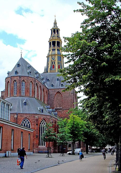 Der Aa-kerk Attraction, Groningen. Municipality23 km SW
-
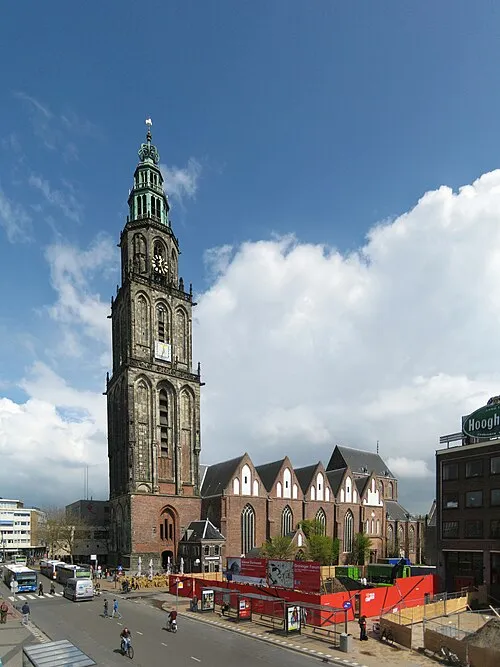 Martinikerk Attraction, Groningen. Municipality22 km SW
-
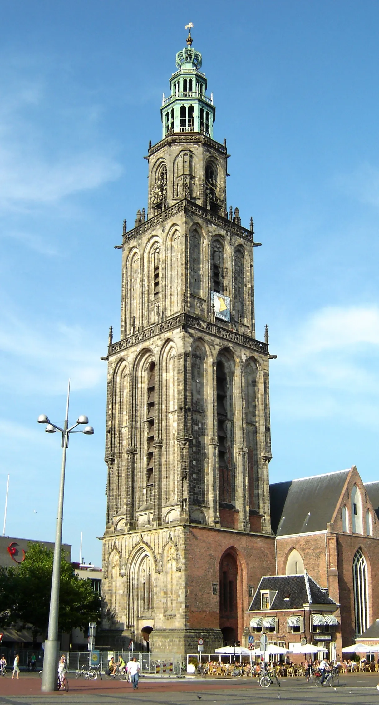 Martinitoren Landmark, Groningen. Municipality22 km SW
-
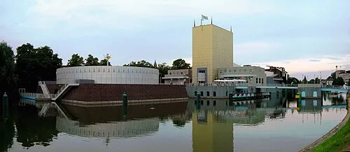 Groninger Museum Museum, Groningen. Municipality23 km SW
-
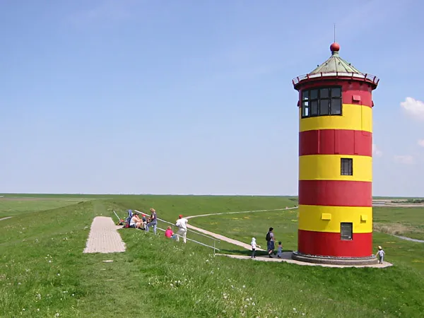 Pilsum Lighthouse Landmark, Krummhörn23 km NE
-
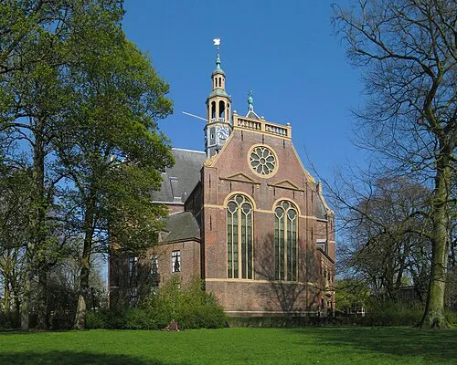 Nieuwe Kerk Attraction, Groningen. Municipality23 km SW
-
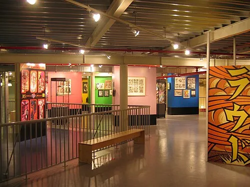 Nederlands Stripmuseum Museum, Groningen. Municipality23 km SW
-
Bohrinsel Island, Lower Saxony9.5 km NE
Sources & licences
Data last updated: · 2 independent sources