Province of Groningen
Local name: Grinslân
Located in The Netherlands Coordinates: 53°15′00″ N 6°45′00″ E
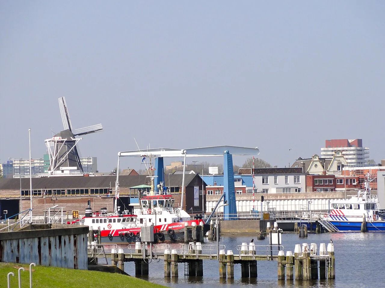
- Population
- 596,075
- 596.1K
- Elevation
- -4 m
- above sea level
- Local time
- UTC+01:00
- Europe/Amsterdam · UTC+01:00
- Places inside
- 10
- listed under Province of Groningen
- Airports
- GRQ Groningen Airport Eelde19 km
- BRE Bremen Airport138 km
About Province of Groningen
Province of Groningen is a region. Location: The Netherlands. Population: 596,075.
Groningen ( GROH-ning-ən, UK also GRON-ing-ən; Dutch: [ˈɣroːnɪŋə(n)] ; Gronings: Grunn; West Frisian: Grinslân [ˈɡrẽːslɔ̃ːn]) is the northeasternmost province of the Netherlands. It borders on Friesland to the west, Drenthe to the south, the German state of Lower Saxony to the east, and the Wadden Sea to the north. As of January 2023, Groningen had a population of about 596,000, and a total area of 2,955 km2 (1,141 sq mi).
Source: Wikipedia · CC BY-SA 4.0
Travel notes for Province of Groningen
From Wikivoyage
Groningen is the northeasternmost province in the Netherlands. It is mainly agricultural with its capital, also called Groningen, as the only big city around. Although the flat countryside may seem uneventful at first glance, there's plenty of heritage and typical scenery to discover. This area was the stage for one of the oldest human efforts in Europe to conquer the water and shape the landscape through ditches, terps and pastures. There are picturesque villages, historical mansions and ample opportunities to just enjoy the laid-back countryside life in this most northern part of the Netherlands.
Understand+
For centuries, the city of Groningen has acted as a city-state, trying to dominate the surrounding agricultural areas. In the 16th century, the city and the surrounding areas (the Ommelanden) were merged to become one province in the Dutch republic. The official name of the province at that time, Stad en Lande (City and Countryside) shows how two separate areas were merged. Although in later centuries the animosity between the city and its surroundings has decreased, until today there is a clear division of the city on the one hand, and the remainder of the province on the other hand.
Apart from this division between city and Ommelanden, each of the regions in the countryside has its own story. The large presence of extremely exploitative landowners in the east of Groningen during the late 19th and early 20th century left a relatively strong communist movement. The area is therefore regarded as the last stronghold of the communist party in the country. In this region, the Oldambt, very large farmhouses of the wealthy landowners are ubiquitous. In the southeast, in the so-called 'Peat Colonies' (Veenkoloniën), peat was dug and used as fuel (mainly in the city), resulting in a characteristic landscape of canals (for drainage and transport) and linear villages. In other areas, such as the Hogeland region in the north, the landscape has been shaped by battling the water of the Wadden Sea, with traditional artificial dwelling mounds (wierden) and the sea dikes. On the other hand, the southwest of the province, in the Westerkwartier region, has a slightly higher elevation and its landscape resembles that of neighbouring Drenthe province.
Get in+
By train:
It is easiest to arrive in Groningen by train into the city of Groningen. Groningen city, although on the edge of the province, is a transport hub; lines running to the north of the province join the main rail network here.
Convenient services run from the south of the country. Regular direct services run from The Hague via Schiphol Airport, Amsterdam, and Zwolle, and from Rotterdam via Utrecht and Zwolle (the blue lines on the map). From Amsterdam's Schiphol Airport the journey typically takes 2 hr 10 min.
Trains also run from Leeuwarden in Friesland, and from Germany. Bremen can be reached in about 2 hours 40 minutes, with one change.
By bus:
Frequent scheduled buses are available to Groningen city from larger towns in the Northern Netherlands, including Emmeloord, Heerenveen, Emmen, Assen. German bus companies, including Flixbus, offer regular direct bus connections from Oldenburg and Bremen, and multiple daily connections from cities including Hamburg and Berlin. Long-distance domestic services include those from Enschede and Eindhoven.
By air:
There is an airport about 10 km outside the city of Groningen, in Eelde (Groningen Airport Eelde). This airport is quite small, with mainly charter flights from Southern Europe, but also scheduled flights from Copenhagen, London, and Gdansk, amongst others. Via Copenhagen Airport, many European and worldwide destinations are available with one transfer. Other flight connections require a train journey; Schiphol Airport is the biggest and best connected airport, but Bremen is a similar distance away by train (2–3 hours) and well served by budget airlines. Train tickets for Schiphol are €25.70 one-way (2016).
By car:
Source: Wikivoyage · CC BY-SA 4.0 · abridged
Places bordering Province of Groningen
Climate of Province of Groningen
Best months for sightseeingBest months for sightseeing: June–August.
This month · November
A cold month
Day 8° · Night 3° · Rain 82 mm
- Hottest month
- August (day 21°)
- Coldest month
- February (night 0°)
- Wettest month
- November (82 mm)
- Driest month
- April (45 mm)
Bars: average monthly low and high temperature. Below: precipitation. Monthly averages for 1970–2000 at about 18 km resolution, adjusted for elevation. Highlighted months are mild and relatively dry. Source: WorldClim 2.1 (CC BY 4.0).
Show values as a table
| Month | Jan | Feb | Mar | Apr | May | Jun | Jul | Aug | Sep | Oct | Nov | Dec |
|---|---|---|---|---|---|---|---|---|---|---|---|---|
| Average high (°C) | 4° | 5° | 8° | 12° | 17° | 19° | 21° | 21° | 18° | 13° | 8° | 6° |
| Average low (°C) | 0° | 0° | 2° | 3° | 7° | 10° | 12° | 12° | 10° | 7° | 3° | 1° |
| Precipitation (mm) | 67 | 46 | 60 | 45 | 56 | 75 | 76 | 67 | 76 | 75 | 82 | 76 |
How to get to Province of Groningen
The nearest airport is Groningen Airport Eelde (GRQ), 19 km to the southwest as the crow flies. The nearest large city is Groningen, 13 km to the west.
Airports
- Groningen Airport Eelde (GRQ) Groningen 19 kmsouthwest
- Bremen Airport (BRE) Bremen 138 kmeast
- Sea-Airport Cuxhaven/Nordholz / Nordholz Naval Airbase (FCN) Wurster Nordseeküste 139 kmnortheast
Nearby large cities
- Groningen Population: 244.8K 13 kmwest
- Leeuwarden Population: 124.5K 63 kmwest
- Zwolle Population: 129.8K 93 kmsouthwest
- Oldenburg Population: 159.2K 99 kmeast
- Enschede Population: 153.7K 115 kmsouth
Straight-line distances; road distances are longer. Airport data: OurAirports.
Places in Province of Groningen
10 places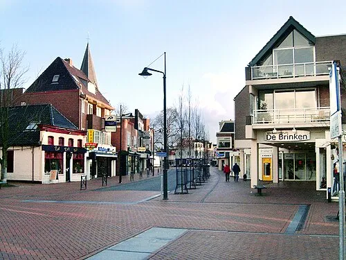
Groningen. Municipality
Population: 233.2K
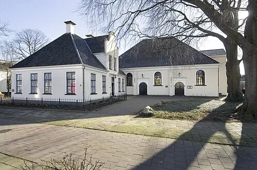
Midden-Groningen Municipality
Population: 61K
Eemsdelta Municipality
Population: 45.6K
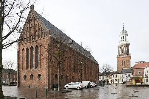
Oldambt Municipality
Population: 38.3K
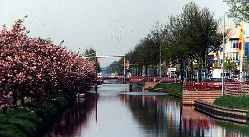
Stadskanaal Municipality
Population: 31.8K
Veendam Municipality
Population: 27.5K
Bar: population relative to the most populous place in this list.
Countries & regions2
- Het Hogeland · District
- Westerkwartier · District
Largest cities and towns
-
Delfzijl Town, Eemsdelta Municipality28.6K
-
Groningen City, Groningen. Municipality244.8K
-
Winschoten Town, Oldambt Municipality18.5K
-
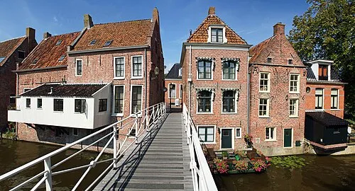 Appingedam Town, Eemsdelta Municipality12.4K
-
Hoogezand Town, Midden-Groningen Municipality21.5K
-
Haren Town, Groningen. Municipality9.4K
-
Stadskanaal Town, Stadskanaal Municipality20K
-
Oosterpark Neighbourhood, Groningen. Municipality10.6K
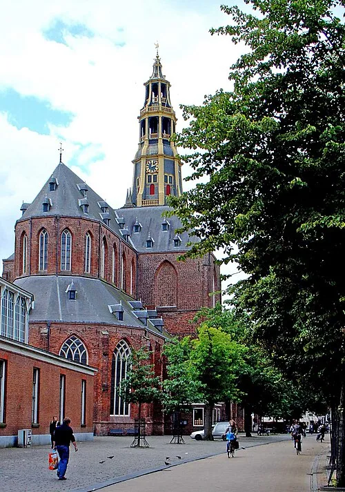
Nature and heritage in Province of Groningen
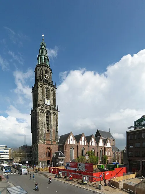
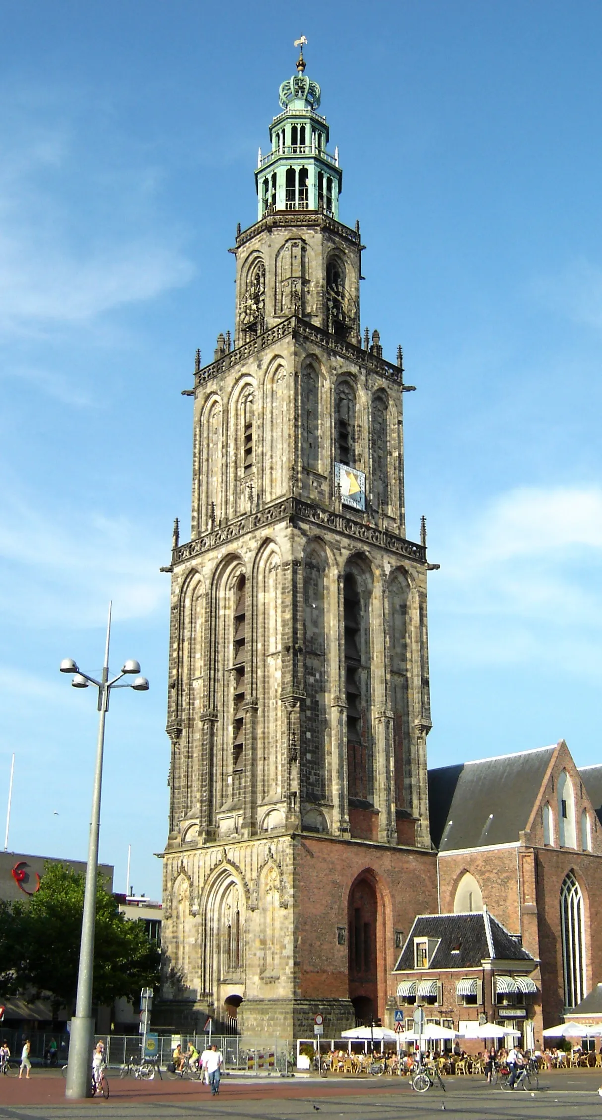
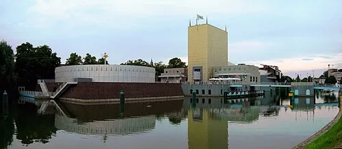
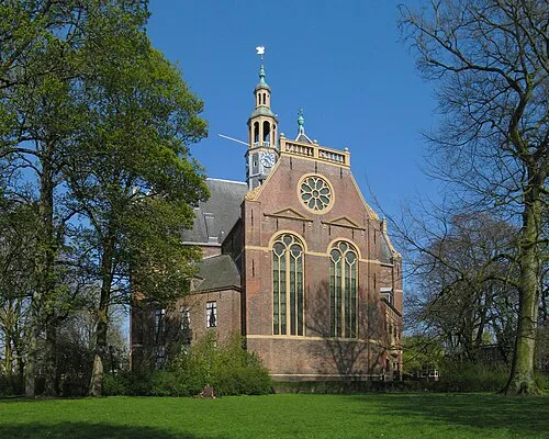
Other regions in The Netherlands
-
 Friesland Region, The Netherlands62 km W
-
Drenthe Region, The Netherlands48 km S
-
Gemeente Tynaarlo District, Drenthe19 km SW
-
Gemeente Noordenveld District, Drenthe25 km SW
-
Gemeente Aa en Hunze District, Drenthe27 km S
-
Assen Municipality District, Drenthe31 km SW
Sources & licences
Data last updated: · 2 independent sources