Westerkwartier
Located in Province of Groningen, The Netherlands Coordinates: 53°12′00″ N 6°18′00″ E
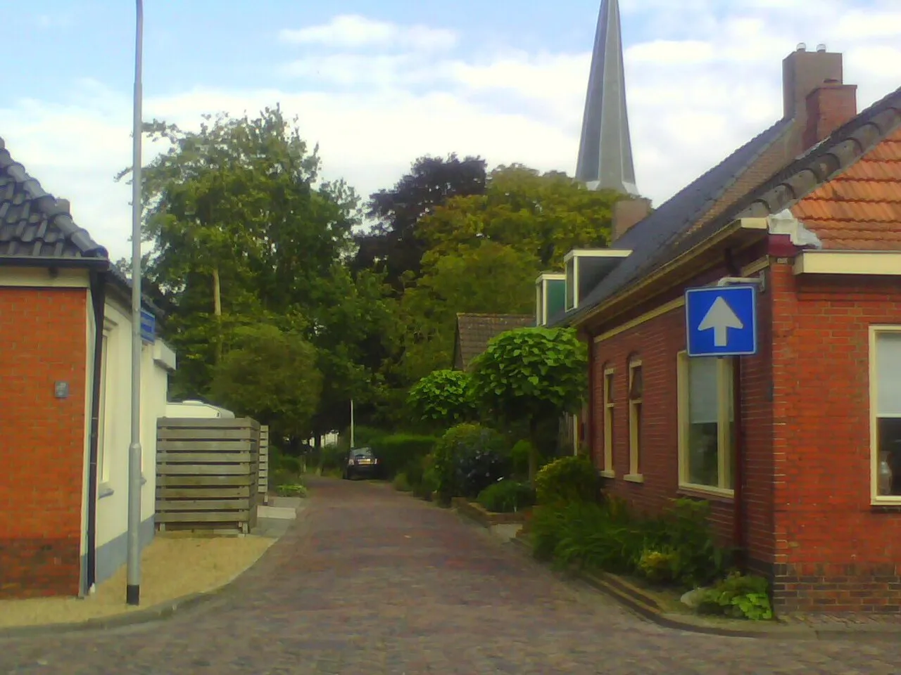
- Elevation
- -3 m
- above sea level
- Local time
- UTC+01:00
- Europe/Amsterdam · UTC+01:00
- Places inside
- 55
- listed under Westerkwartier
- Airports
- GRQ Groningen Airport Eelde21 km
- AMS Amsterdam Airport Schiphol144 km
About Westerkwartier
Westerkwartier is a district. Location: Province of Groningen, The Netherlands. The best months to visit are June–August. The nearest airport is Groningen Airport Eelde (21 km).
Climate of Westerkwartier
Best months for sightseeingBest months for sightseeing: June–August.
This month · November
A cold month
Day 9° · Night 3° · Rain 90 mm
- Hottest month
- August (day 21°)
- Coldest month
- February (night 0°)
- Wettest month
- November (90 mm)
- Driest month
- April (47 mm)
Bars: average monthly low and high temperature. Below: precipitation. Monthly averages for 1970–2000 at about 18 km resolution, adjusted for elevation. Highlighted months are mild and relatively dry. Source: WorldClim 2.1 (CC BY 4.0).
Show values as a table
| Month | Jan | Feb | Mar | Apr | May | Jun | Jul | Aug | Sep | Oct | Nov | Dec |
|---|---|---|---|---|---|---|---|---|---|---|---|---|
| Average high (°C) | 4° | 5° | 8° | 12° | 16° | 19° | 21° | 21° | 18° | 13° | 9° | 6° |
| Average low (°C) | 0° | 0° | 2° | 3° | 7° | 10° | 12° | 12° | 10° | 7° | 3° | 1° |
| Precipitation (mm) | 72 | 49 | 63 | 47 | 54 | 73 | 74 | 62 | 80 | 82 | 90 | 81 |
How to get to Westerkwartier
The nearest airport is Groningen Airport Eelde (GRQ), 21 km to the southeast as the crow flies. The nearest large city is Groningen, 18 km to the east.
Airports
- Groningen Airport Eelde (GRQ) Groningen 21 kmsoutheast
- Amsterdam Airport Schiphol (AMS) Amsterdam 144 kmsouthwest
- Münster Osnabrück Airport (FMO) Greven 151 kmsoutheast
Nearby large cities
- Groningen Population: 244.8K 18 kmeast
- Leeuwarden Population: 124.5K 33 kmwest
- Zwolle Population: 129.8K 78 kmsouth
- Apeldoorn Population: 136.7K 112 kmsouth
- Enschede Population: 153.7K 116 kmsouth
Straight-line distances; road distances are longer. Airport data: OurAirports.
Day trips from Westerkwartier
Within 100 km: 68 historic and cultural sites, 222 natural sites, 153 lakes, rivers and coasts.
0–25 km9 places
- Der Aa-kerk Attraction 18 kmE
- Martinikerk Attraction 18 kmE
- Nieuwe Kerk Attraction 18 kmE
- Zwartendijksterschans Historic site 13 kmS
25–60 km50 places
- Borkum Island 50 kmNE
- Nordstrand Beach 56 kmNE
- Borkum Island 49 kmNE
- Lütje Hörn Island 57 kmNE
60–100 km384 places
- East Frisian Islands Island 95 kmNE
- Texel Island 99 kmW
- Norderney Island 85 kmNE
- Baltrum Island 94 kmNE
Straight-line distances.
Places in Westerkwartier
55 places- 1 Leek 19.7K
- 2 Zuidhorn 7.1K
- 3 Marum 5.2K
- 4 Grootegast 3.4K
- 5 Opende 2.9K
- 6 Grijpskerk 2.5K
- 7 Aduard 2K
- 8 Niekerk 1.4K
- 9 Noordhorn 1.4K
- 10 Oldehove 1.3K
- 11 Oldekerk 855
- 12 Lutjegast 735
- 13 Doezum 725
- 14 Diepswal 710
- 15 Nuis 685
- 16 Ezinge 680
- 17 Niebert 520
- 18 Kommerzijl 510
- 19 Kornhorn 505
- 20 Briltil 490
- 21 Niezijl 410
- 22 Boerakker 365
- 23 Garnwerd 345
- 24 Sebaldeburen 340
- 25 Visvliet 300
- 26 Opende-Oost 270
- 27 De Haspel 250
- 28 Keuningswijk 250
- 29 Noordwijk 235
- 30 Den Horn 215
- 31 Jonkersvaart 215
- 32 Lucaswolde 200
- 33 De Haar 175
- 34 Feerwerd 165
- 35 Pieterzijl 155
- 36 Niehove 150
- 37 Lauwerzijl 145
- 38 Den Ham 135
- 39 Pasop 100
- 40 Saaksum 90
- 41 Boerenstreek 85
Bar: population relative to the most populous place in this list.
Cities & villages14
- Aduarderzijl · Village
- De Wilp · Village
- Eibersburen · Village
- Fransum · Village
- Gaarkeuken · Village
- Hardeweer · Village
- Kenwerd · Village
- Kuzemerbalk · Village
- Lettelbert · Village
- Midwolde · Village
- Oostum · Village
- Ruigezand · Village
- Tolbert · Village
- Veldstreek · Village
Sources & licences
Data last updated: