Zeerijp
Located in Eemsdelta Municipality, Province of Groningen Coordinates: 53°20′57″ N 6°45′40″ E

- Population
- 450
- 450
- Elevation
- 0 m
- above sea level
- Local time
- UTC+01:00
- Europe/Amsterdam · UTC+01:00
- Airports
- GRQ Groningen Airport Eelde28 km
- FCN Sea-Airport Cuxhaven/Nordholz / Nordholz Naval Airbase134 km
About Zeerijp
Zeerijp is a village. Location: Eemsdelta Municipality, Province of Groningen. Population: 450. Elevation: 0 m.
Zeerijp (Dutch pronunciation: [zeːˈrɛip]; Gronings: Zeeriep [zeːˈrip] or Riep) is a village north of city of Groningen. Its most striking building is its brick church for the 14th century with detached bell tower. Formerly dedicated to John the Baptist, now it is a Dutch Reformed church. Also there is a famous organ inside the church, a Faber organ. Because there are so few inhabitants, Zeerijp has no shops, but there is a primary school 'De Wilgenstee' and a cafe. Also, there is a famous mill, 'de Leeuw'.
Source: Wikipedia · CC BY-SA 4.0
At a glance
- Area
- 85 ha
Source: Wikidata
Photos of Zeerijp
-

Hardscarf · CC BY-SA 4.0 -

Hardscarf · CC BY-SA 4.0 -

Andre Hosper · CC BY-SA 4.0 -

Andre Hosper · CC BY-SA 4.0 -

JakobHosp · CC BY-SA 4.0


Climate of Zeerijp
Best months for sightseeingBest months for sightseeing: June–August.
This month · November
A cold month
Day 8° · Night 4° · Rain 85 mm
- Hottest month
- August (day 21°)
- Coldest month
- January (night 0°)
- Wettest month
- November (85 mm)
- Driest month
- April (45 mm)
Bars: average monthly low and high temperature. Below: precipitation. Monthly averages for 1970–2000 at about 18 km resolution, adjusted for elevation. Highlighted months are mild and relatively dry. Source: WorldClim 2.1 (CC BY 4.0).
Show values as a table
| Month | Jan | Feb | Mar | Apr | May | Jun | Jul | Aug | Sep | Oct | Nov | Dec |
|---|---|---|---|---|---|---|---|---|---|---|---|---|
| Average high (°C) | 4° | 4° | 8° | 11° | 16° | 18° | 20° | 21° | 18° | 13° | 8° | 5° |
| Average low (°C) | 0° | 0° | 2° | 4° | 8° | 11° | 13° | 13° | 11° | 7° | 4° | 2° |
| Precipitation (mm) | 68 | 46 | 60 | 45 | 53 | 75 | 78 | 70 | 81 | 77 | 85 | 77 |
How to get to Zeerijp
The nearest airport is Groningen Airport Eelde (GRQ), 28 km to the southwest as the crow flies. The nearest large city is Groningen, 19 km to the southwest.
Airports
- Groningen Airport Eelde (GRQ) Groningen 28 kmsouthwest
- Sea-Airport Cuxhaven/Nordholz / Nordholz Naval Airbase (FCN) Wurster Nordseeküste 134 kmeast
- Bremen Airport (BRE) Bremen 140 kmeast
Nearby large cities
- Groningen Population: 244.8K 19 kmsouthwest
- Leeuwarden Population: 124.5K 66 kmwest
- Oldenburg Population: 159.2K 100 kmeast
- Zwolle Population: 129.8K 103 kmsouthwest
- Bremerhaven Population: 118.6K 123 kmeast
Straight-line distances; road distances are longer. Airport data: OurAirports.
Day trips from Zeerijp
Within 100 km: 96 historic and cultural sites, 339 natural sites, 276 lakes, rivers and coasts.
0–25 km15 places
- Mahlbusen Lake 18 kmE
- Twixlumer Tief River 25 kmE
- Groothusener Tief River 23 kmE
- Campen's Lighthouse Landmark 18 kmE
25–60 km183 places
- Norderney Island 52 kmNE
- Borkum Island 26 kmN
- Baltrum Island 60 kmNE
- Juist Island 40 kmNE
60–100 km513 places
- East Frisian Islands Island 61 kmNE
- Insel Spiekeroog Island 78 kmNE
- Strand Harlesiel Beach 80 kmNE
- Nordstrand Beach 79 kmNE
Straight-line distances.
Nearby attractions & nature
Everything nearby-
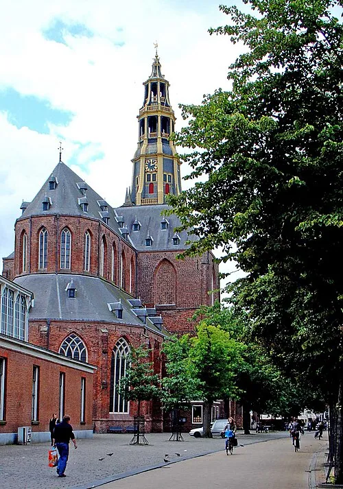 Der Aa-kerk Attraction, Groningen. Municipality20 km SW
-
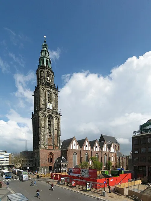 Martinikerk Attraction, Groningen. Municipality19 km SW
-
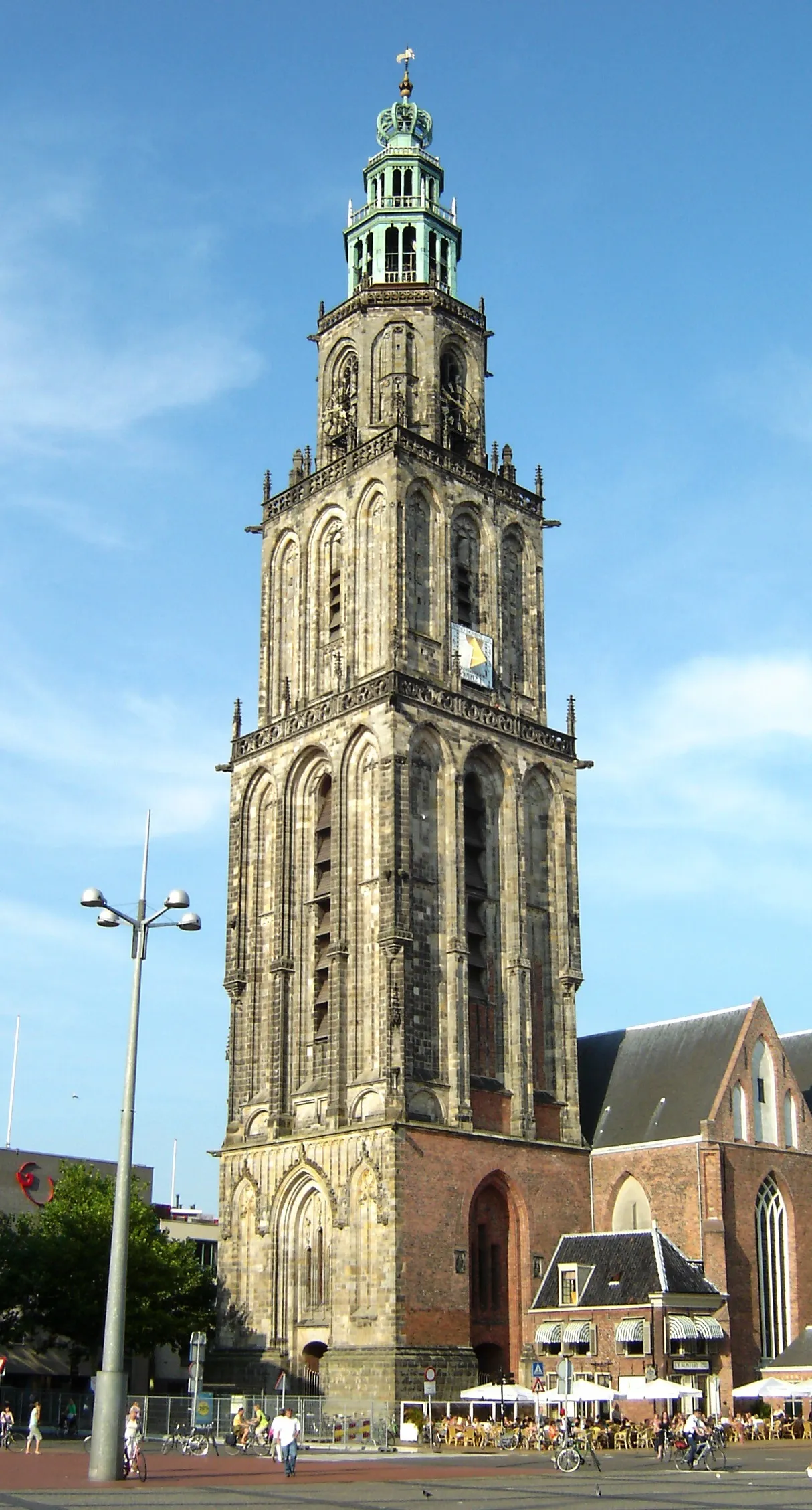 Martinitoren Landmark, Groningen. Municipality19 km SW
-
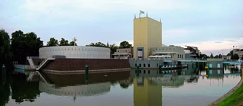 Groninger Museum Museum, Groningen. Municipality20 km SW
-
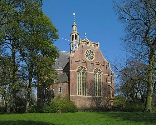 Nieuwe Kerk Attraction, Groningen. Municipality19 km SW
-
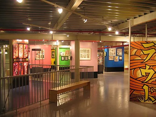 Nederlands Stripmuseum Museum, Groningen. Municipality20 km SW
Other cities and towns in Eemsdelta Municipality
-
 Godlinze Village, Eemsdelta Municipality4.4 km NE
-
 Garrelsweer Village, Eemsdelta Municipality4.3 km S
-
 Stedum Village, Eemsdelta Municipality5.3 km SW
-
 Zijldijk Village, Eemsdelta Municipality5 km N
-
 Losdorp Village, Eemsdelta Municipality5.8 km NE
-
 Huizinge Village, Eemsdelta Municipality5.8 km W
Sources & licences
Data last updated: · 2 independent sources