- Elevation
- 0 m
- above sea level
- Local time
- UTC+01:00
- Europe/Amsterdam · UTC+01:00
- Airports
- GRQ Groningen Airport Eelde16 km
- FMO Münster Osnabrück Airport148 km
About Harssens
Harssens is a village. Location: Het Hogeland, Province of Groningen. Elevation: 0 m.
Groningen is the capital city and main municipality of Groningen province in the Netherlands. Dubbed the "capital of the north", Groningen is the largest city as well as the economic and cultural centre of the northern part of the country; as of January 2025, it had 244,807 inhabitants, making it the sixth largest city/municipality in the Netherlands and the second largest outside the Randstad. As of 2025, the Groningen metro area had a population of 557,369 inhabitants.
Source: Wikipedia · CC BY-SA 4.0
Photos of Harssens
-
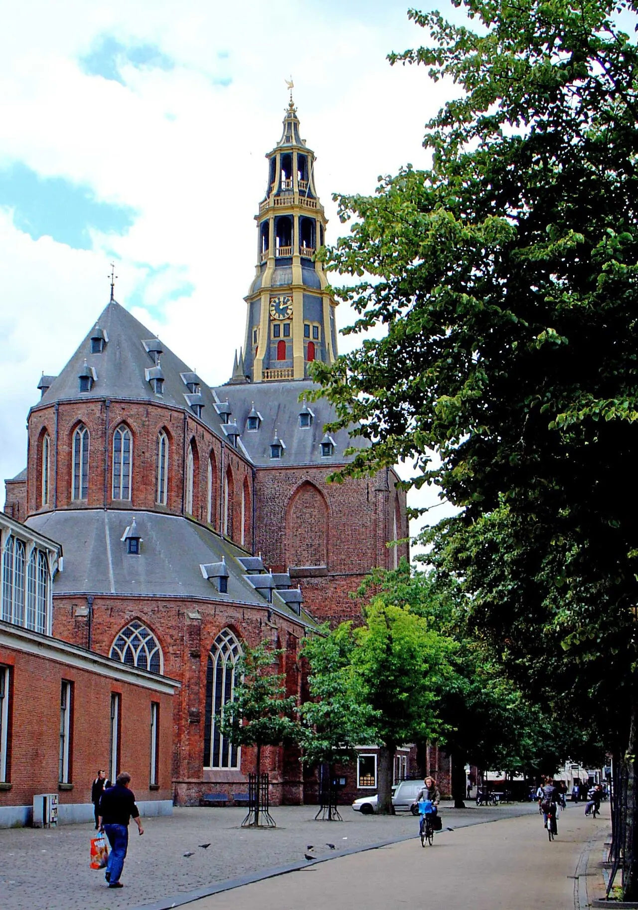
Der Aa-kerk Gouwenaar · Public domain -
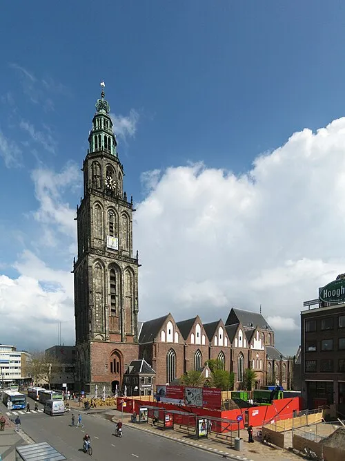
Martinikerk Wutsje / Wikimedia Commons / CC-BY-SA 3.0 · CC BY-SA 3.0 -
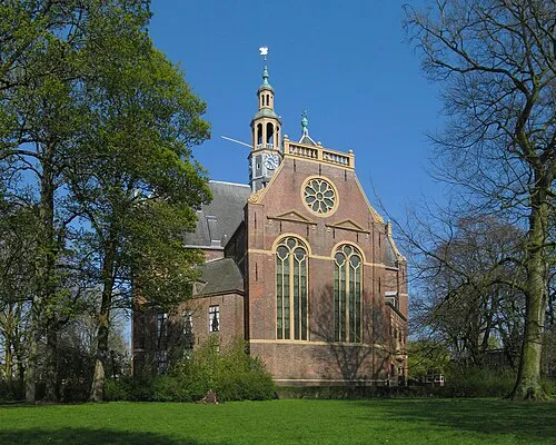
Nieuwe Kerk Wutsje · CC BY-SA 3.0 -
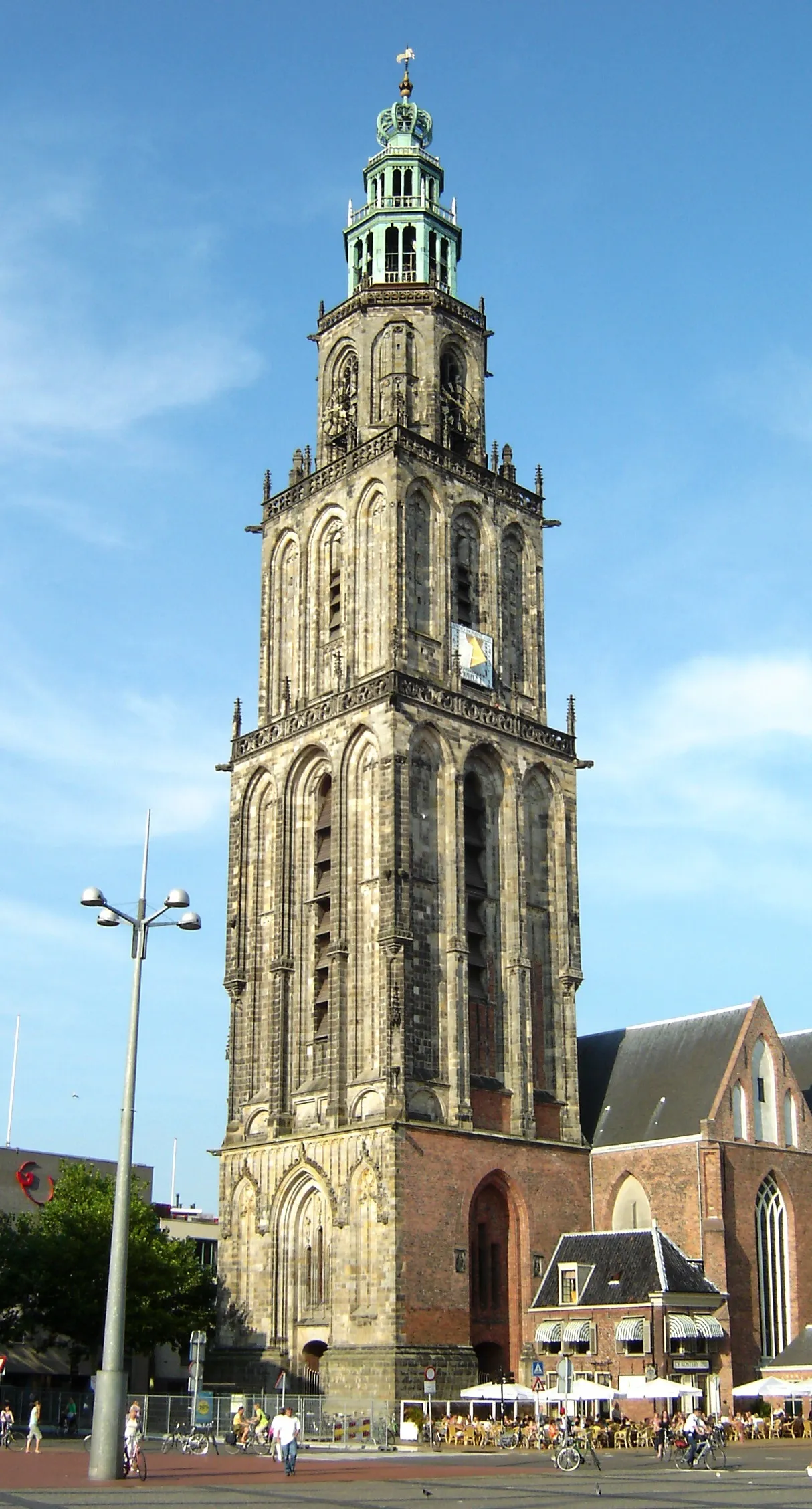
Martinitoren Ra-smit at Dutch Wikipedia · CC BY-SA 3.0 -
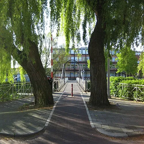
Trompbrug Wutsje · CC BY-SA 3.0


Climate of Harssens
Best months for sightseeingBest months for sightseeing: June–August.
This month · November
A cold month
Day 8° · Night 3° · Rain 86 mm
- Hottest month
- August (day 21°)
- Coldest month
- February (night -1°)
- Wettest month
- November (86 mm)
- Driest month
- April (44 mm)
Bars: average monthly low and high temperature. Below: precipitation. Monthly averages for 1970–2000 at about 18 km resolution, adjusted for elevation. Highlighted months are mild and relatively dry. Source: WorldClim 2.1 (CC BY 4.0).
Show values as a table
| Month | Jan | Feb | Mar | Apr | May | Jun | Jul | Aug | Sep | Oct | Nov | Dec |
|---|---|---|---|---|---|---|---|---|---|---|---|---|
| Average high (°C) | 4° | 5° | 8° | 12° | 16° | 19° | 21° | 21° | 18° | 13° | 8° | 6° |
| Average low (°C) | -1° | -1° | 1° | 3° | 7° | 10° | 12° | 12° | 10° | 6° | 3° | 1° |
| Precipitation (mm) | 68 | 47 | 60 | 44 | 54 | 73 | 77 | 66 | 77 | 75 | 86 | 77 |
How to get to Harssens
The nearest airport is Groningen Airport Eelde (GRQ), 16 km to the south as the crow flies. The nearest large city is Groningen, 5 km to the south.
Airports
- Groningen Airport Eelde (GRQ) Groningen 16 kmsouth
- Münster Osnabrück Airport (FMO) Greven 148 kmsoutheast
- Sea-Airport Cuxhaven/Nordholz / Nordholz Naval Airbase (FCN) Wurster Nordseeküste 151 kmnortheast
Nearby large cities
- Groningen Population: 244.8K 5 kmsouth
- Leeuwarden Population: 124.5K 49 kmwest
- Zwolle Population: 129.8K 89 kmsouth
- Oldenburg Population: 159.2K 113 kmeast
- Enschede Population: 153.7K 119 kmsouth
Straight-line distances; road distances are longer. Airport data: OurAirports.
Day trips from Harssens
Within 100 km: 80 historic and cultural sites, 303 natural sites, 222 lakes, rivers and coasts.
0–25 km9 places
- Der Aa-kerk Attraction 5 kmS
- Martinikerk Attraction 5 kmS
- Nieuwe Kerk Attraction 5 kmS
- Zwartendijksterschans Historic site 24 kmSW
25–60 km136 places
- Borkum Island 37 kmN
- Juist Island 55 kmNE
- Nordstrand Beach 42 kmN
- Badestrand Beach 56 kmNE
60–100 km460 places
- East Frisian Islands Island 78 kmNE
- Norderney Island 68 kmNE
- Insel Spiekeroog Island 95 kmNE
- Baltrum Island 77 kmNE
Straight-line distances.
Other cities and towns in Het Hogeland
-
Noordwolde Village, Het Hogeland3.2 km E
-
 Winsum Village, Het Hogeland7.5 km N
-
 Obergum Village, Het Hogeland7.9 km N
-
 Onderdendam Village, Het Hogeland8.4 km N
-
 Ellerhuizen Village, Het Hogeland4.8 km E
-
 Wetsinge Village, Het Hogeland4.5 km N
Sources & licences
Data last updated: · 2 independent sources